NOTE: The information in this statement is preliminary and subject to change pending final review of the event and publication in NWS Storm Data.
NWS Damage Survey for 05/27/24 Wayne County, PA Tornado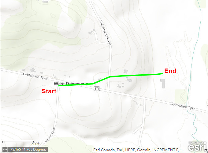
Survey Summary
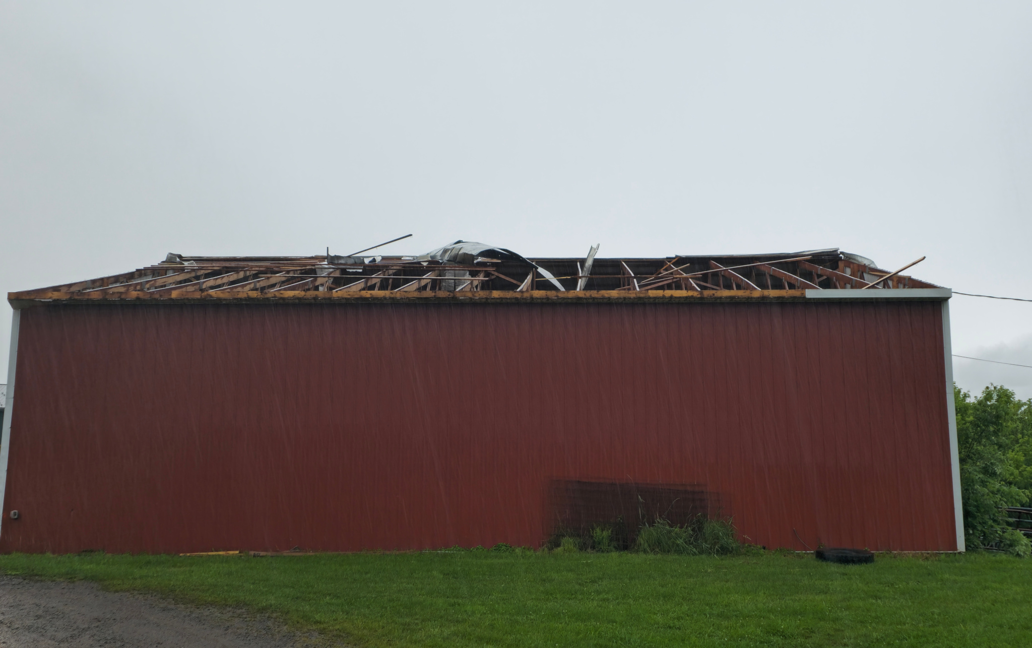
A brief tornado touched down near the intersection of Oregon Turnpike and Cochecton Turnpike in West Damascus in the early evening of May 27th. The tornado initially produced minor tree and crop damage and lifted some debris into powerlines. It then continued eastward and crossed Cochecton Turnpike as well as Rutledgedale Road, uprooted a very large tree, and lofted additional debris into the tree. The tornado then crossed through a farm and caused significant roof and structural damage to a couple of barns. This is where the tornado was at its peak strength, with a metal roof partially lifted off a barn and a large wooden door ripped off another barn. Debris was also lofted down a hill roughly 100 feet away. Some minor tree and crop damage was observed down this hill, which was the last visible damage of the survey and the determined location where the tornado lifted.
We would like to thank the Damascus Township Emergency Management Coordinator, Wayne County Emergency Management, and local impacted residents for their help in completing this survey.
EF Scale: The Enhanced Fujita Scale classifies tornadoes into the following categories:
Click on the images below or the map above for a larger view.
|
Roof off barn. Viewed from inside barn. |
Roof of barn. Viewed from outside of barn. |
Additional Information: