National Weather Service United States Department of Commerce

Above Average Temperatures for the West and Central Plains; Lake Effect Snow Continues

Well above average temperatures will prevail across the Plains and the West Coast this week, while a cold front will bring Arctic air to the South and East Coast Thursday and Friday. Lake effect snow is forecast downwind of the Great Lakes through Thursday along and behind the Arctic front, as well as mountain snow across the Southern Appalachians. Read More >


December of 2013 will be remembered as very snowy and cold across the Northland. 

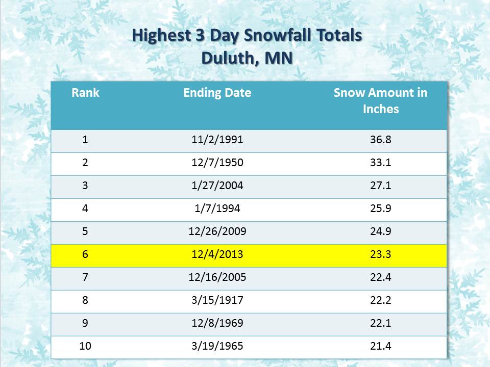
The month began with a large winter storm that brought heavy snow to most of the region. The highest snowfall totals of 2 to 3 feet were found along the north shore of Lake Superior from Duluth to Two Harbors. The 3-day storm brought an impressive 23.3 inches to the Duluth Airport, putting it in the Top 10 3-Day Snowfalls on record.

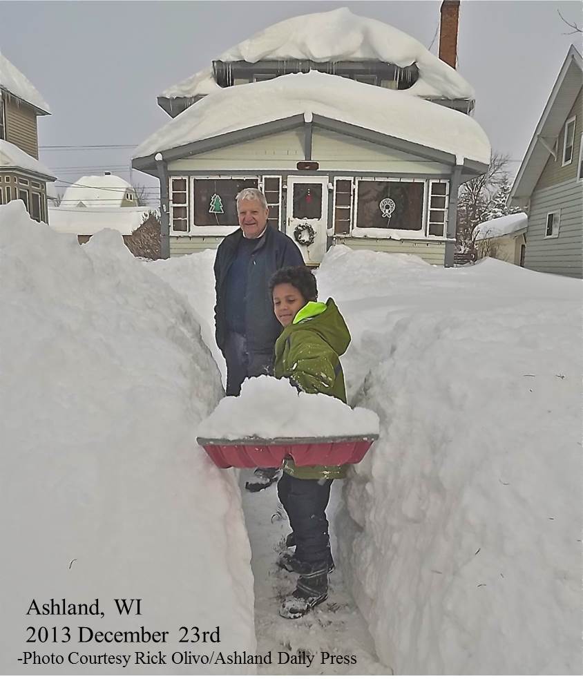
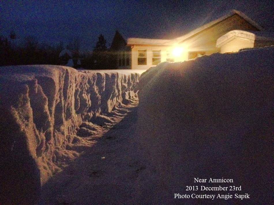
The South Shore of Lake Superior was not to be out done. A long-duration lake effect snow event dumped in excess of 30 inches on the northern Wisconsin community of Ashland from December 21st through 23rd, 2013.  


For a summary of the record cold observed this month
 please visit:  
Cold Snaps of December.

 
Top Snowiest Decembers:    

Duluth, MN

International Falls, MN

Rank  Value  Year
  1       44.3    1950

  2       42.3    1996
  3       39.9    2013

Rank  Value   Year
  1       43.9     1992
  2       36.0     2008
  3       31.1     1990
  4       26.4     2013
  5       26.2     2009
  6       24.6     1996


View the Duluth December 2013 Climate Summary HERE

View the IFalls December 2013 Climate Summary HERE

nws logo Media use of NWS Web News Stories is encouraged!
Please acknowledge the NWS as the source of any news information accessed from this site.
nws logo