Tropical moisture from Isaias and Rachel will impact portions of the Intermountain West and East Coast states. Flooding, gusty winds and even a threat for severe thunderstorms and tornadoes are possible. Meanwhile, record warmth will spread northward across the Mississippi Valley the next few days. Looking for snow, the first winter storm of the season is underway across the northern Rockies. Read More >
Des Moines, IA
Weather Forecast Office
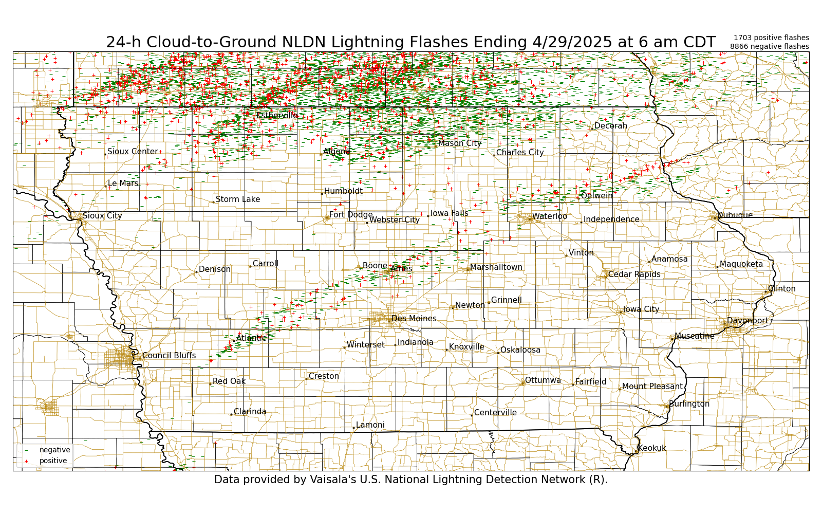
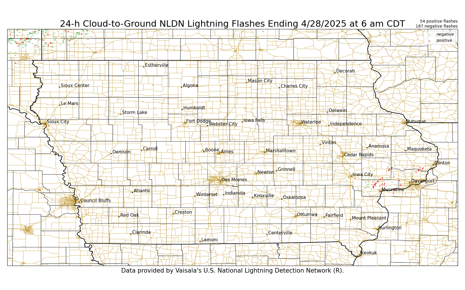
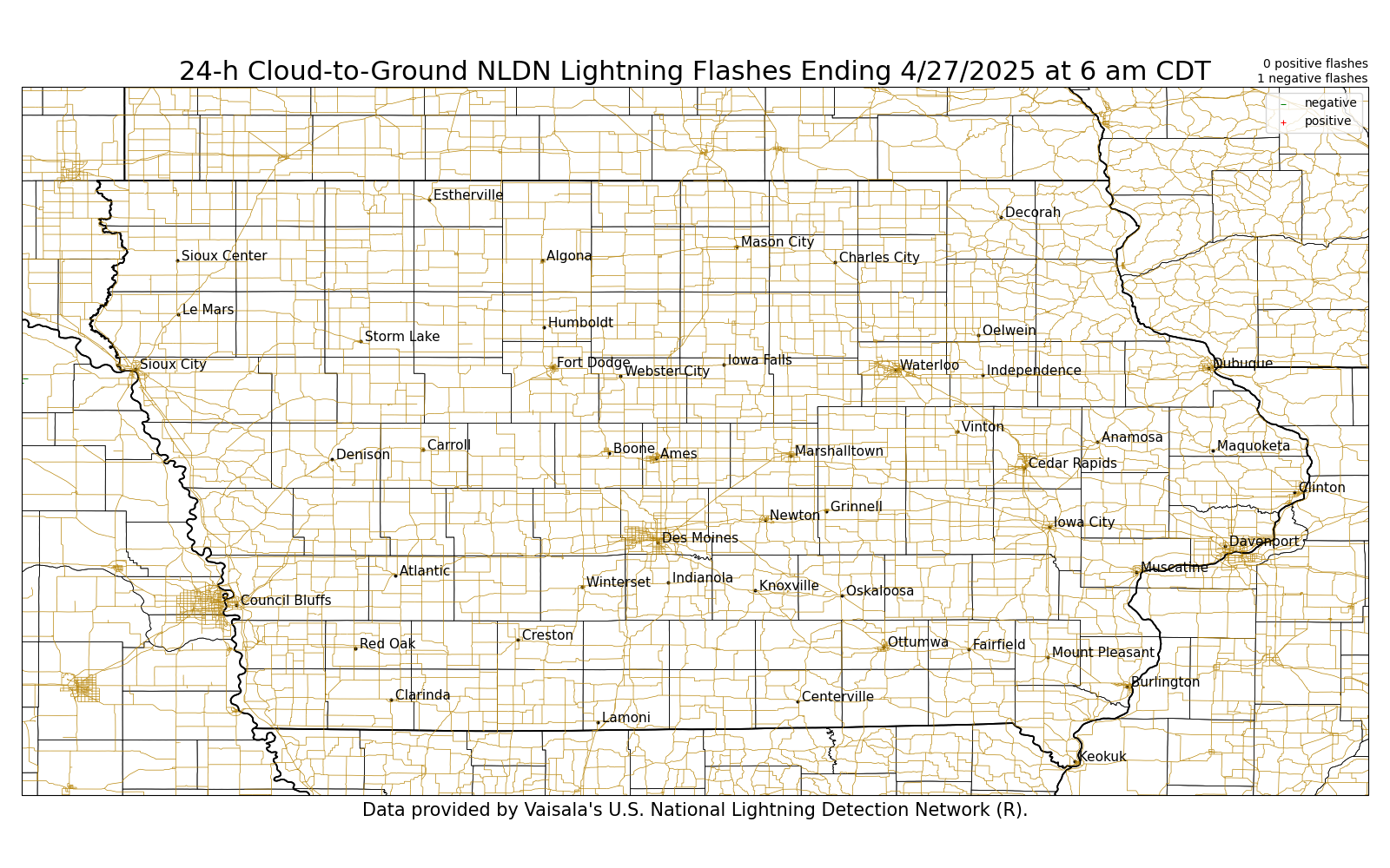
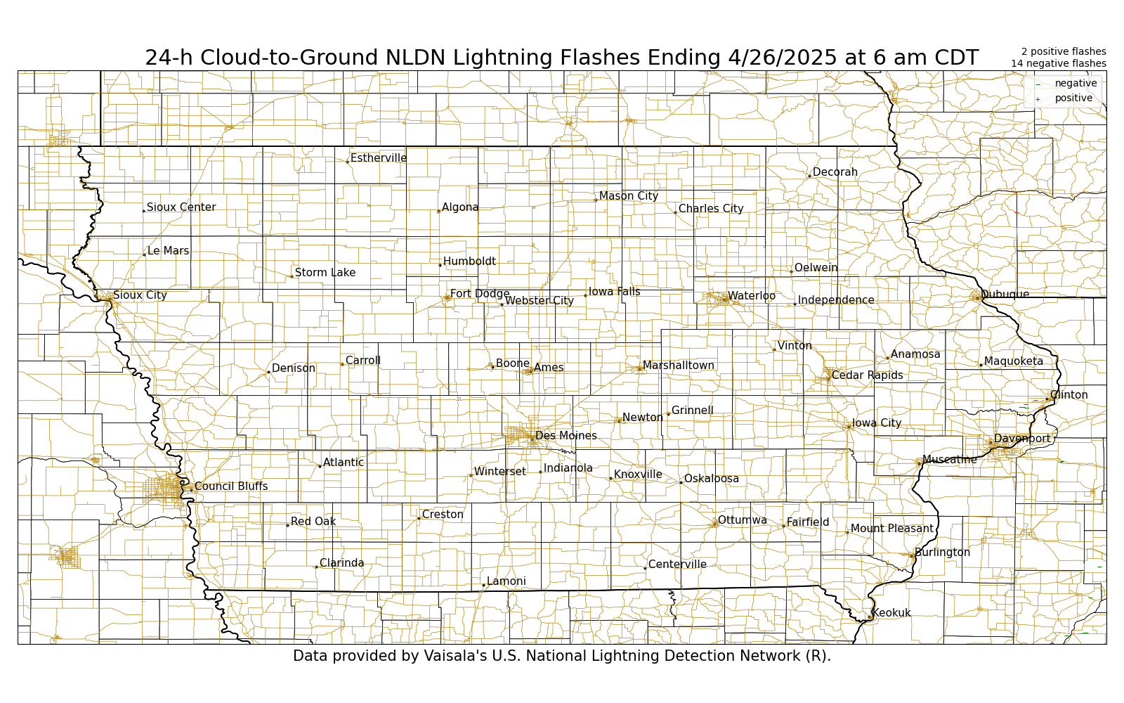
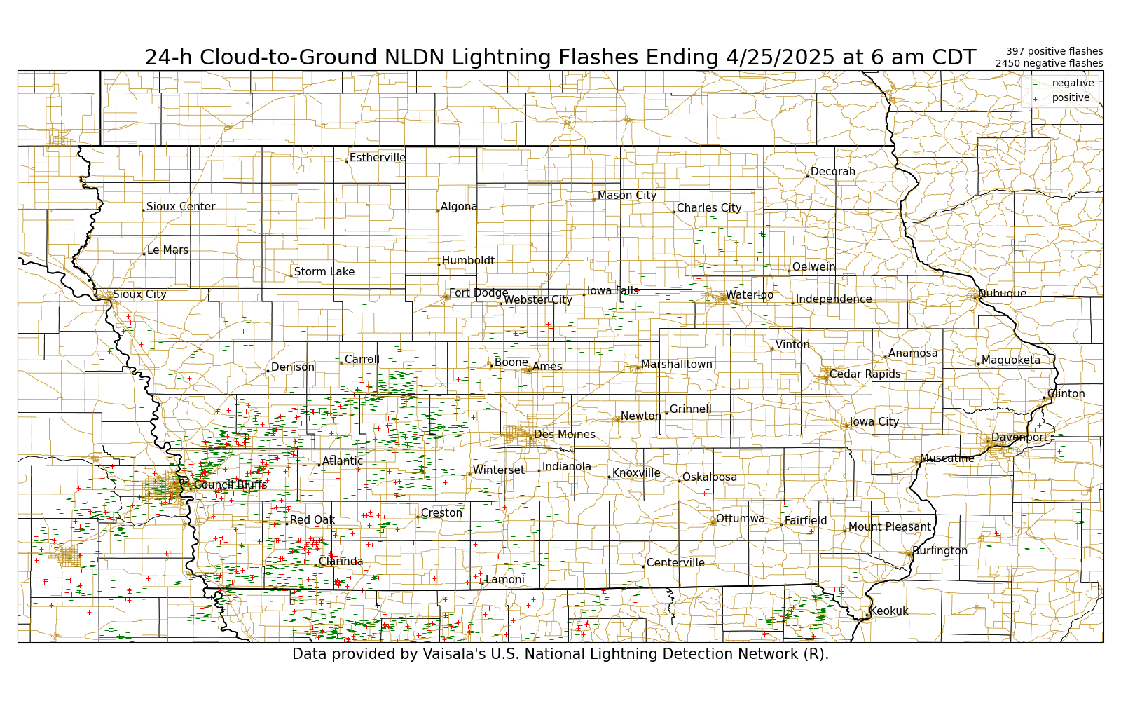
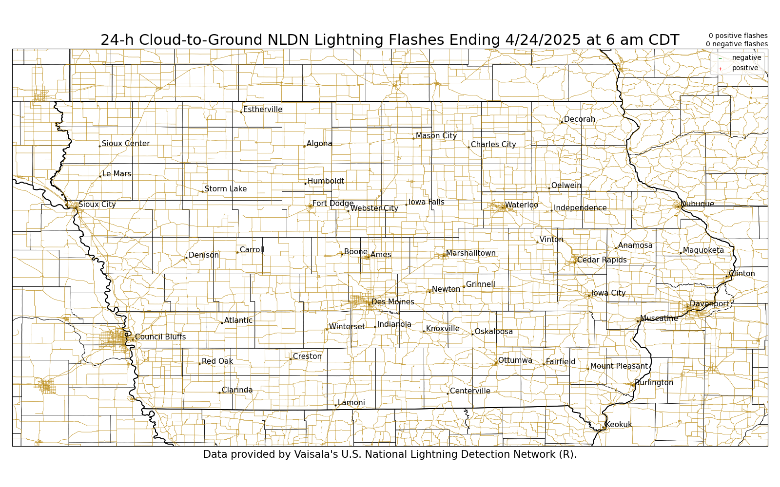
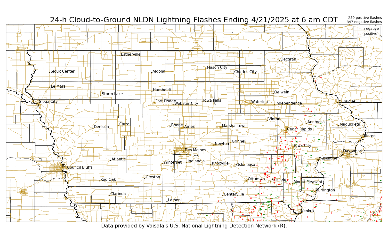
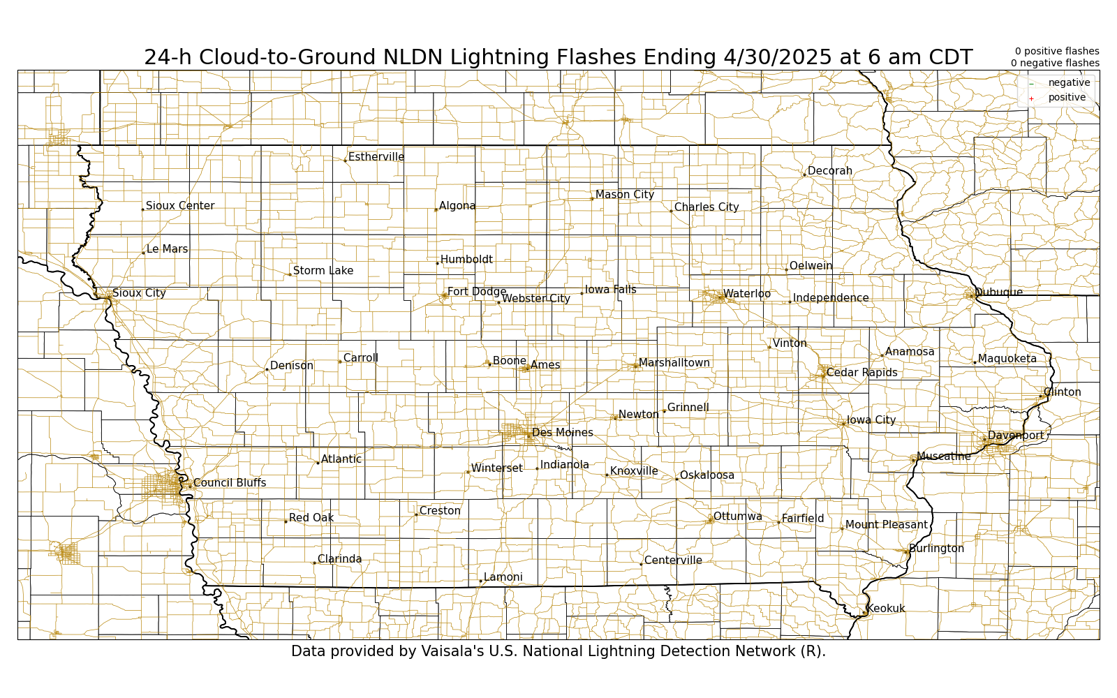
These graphics are updated daily around 800 AM. Mouse-over each day to view the 24-Hour Cumulative Lightning Strike Map. Printable versions are at the bottom of this page.
| 24-Hour Cumulative Lightning Strikes |
Yesterday | 2 Days Ago | 3 Days Ago | 4 Days Ago | 5 Days Ago | 6 Days Ago | 7 Days Ago | 8 Days Ago |
 |
||||||||
Printable: Yesterday, 2 Day Ago, 3 Days Ago, 4 Days Ago, 5 Days Ago, 6 Days Ago, 7 Days Ago, 8 Days Ago

US Dept of Commerce
National Oceanic and Atmospheric Administration
National Weather Service
Des Moines, IA
9607 NW Beaver Drive
Johnston, IA 50131-1908
515-270-2614
Comments? Questions? Please Contact Us.


 Follow us on X
 Follow us on Facebook
 Follow us on YouTube
 DMX RSS Feed