
Much higher than typical October temperatures will continue across coastal southern California up through the Bay Area and Central Valley through midweek resulting in result in Major to Extreme HeatRisk. A tropical depression is likely to form over the Gulf of America during the middle part of this week with further strengthening possible as it moves northeastward later this week. Read More >
 |
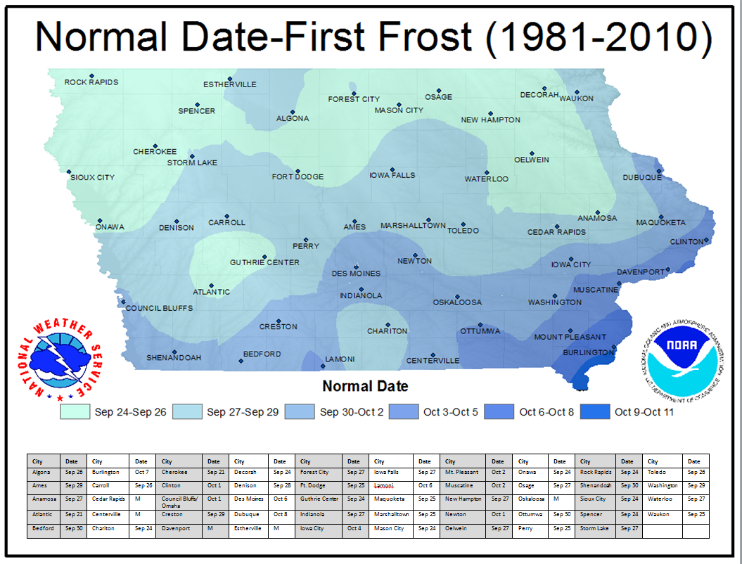
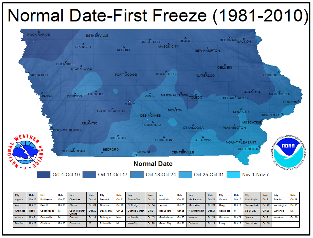
Current Conditions Climatology |
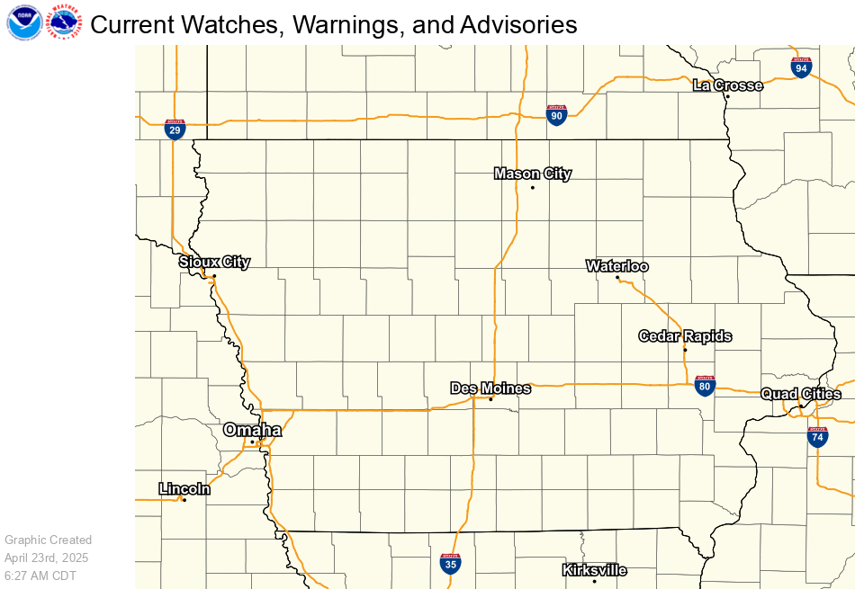 |
| Current Watches, Warnings, and Advisories |
|
A Frost Advisory means that temperatures are expected to fall into the mid 30s°F, which could lead to frost on vegetation. Frost advisories are only issued during the growing season. Cover any sensitive vegetation outdoors. A Freeze Watch means that temperatures are expected to fall below 32°F within the next 12 to 48 hours. Freeze watches are only issued during the growing season. This cold air will likely kill any sensitive vegetation that is not brought indoors or protected. A Freeze Warning means that temperatures are expected to fall below 32°F within the next 36 hours. Freeze warnings are only issued during the growing season. This cold air will likely kill any sensitive vegetation that is not brought indoors or protected. |
 |
 |
| Tonight's Low Temperatures | Tomorrow Night's Low Temperatures |
|
Click each image above to view a larger version. The tonight time period runs from 6pm to 6am CST / 7pm to 7am CDT.
|
|
 |
 |
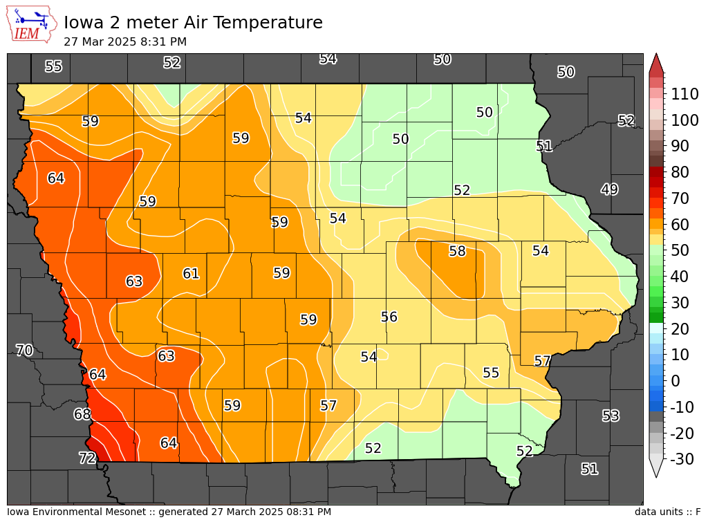
| Current Temperatures | Current Satellite Imagery (Loop) |
 |
 |
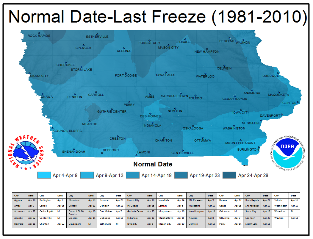 |
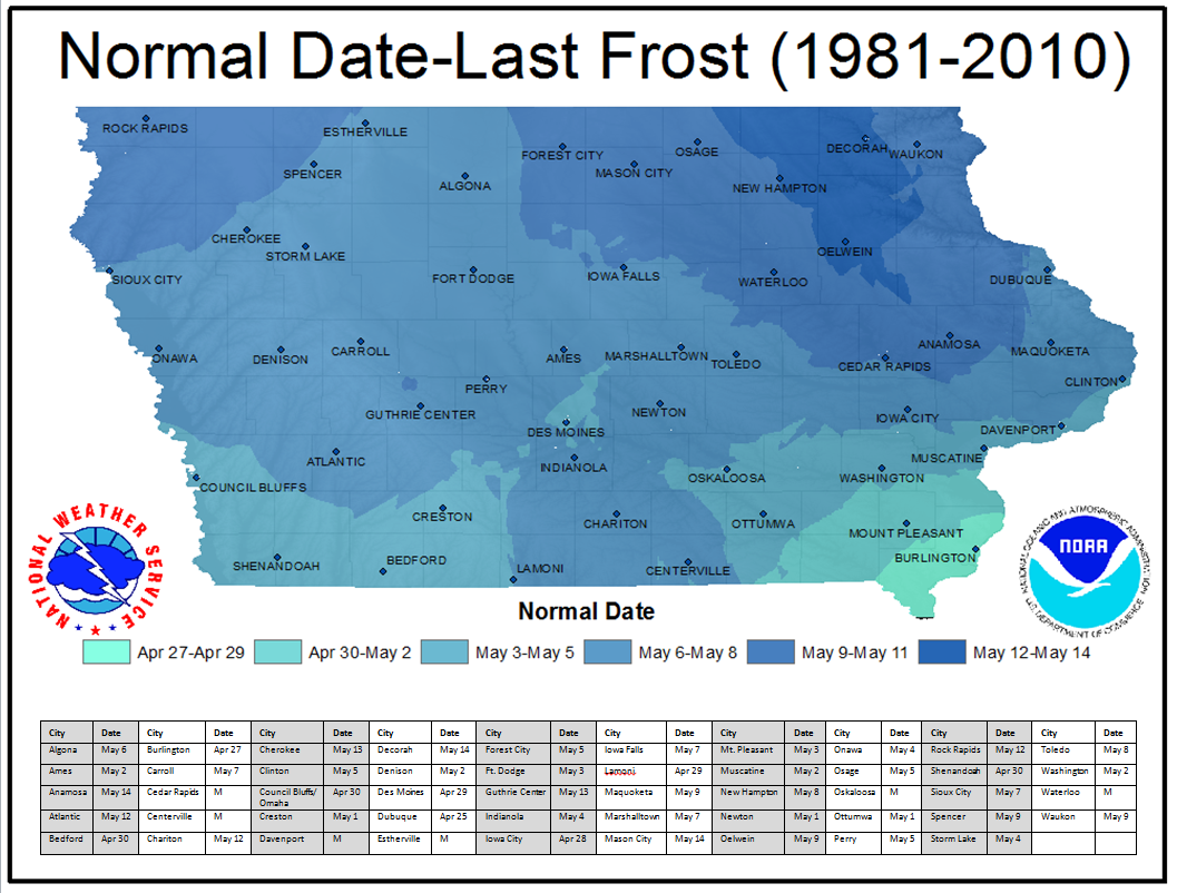 |
 |
|
| Date since last 32°F Temperature this Year Image Courtesy of the Midwestern Regional Climate Center |
|



 Follow us on X
 Follow us on Facebook
 Follow us on YouTube
 DMX RSS Feed