

|
24 Hr. Hazards
|
Day 1
|
|
|
|
|
|
|
|
Severe Thunderstorm Arrival Tool
|
|
|
|
|
|
|
|
|
Tornado
|
|
|
|
|
|
|
|
|
Hail
|
|
|
|
|
|
|
|
|
Thunderstorm Wind Gust
|
|
|
|
|
|
|
|
|
Severe Thunderstorms
|
|
|
|
|
|
|
|
|
Lightning
|
|
|
|
|
|
|
|
|
Flooding
|
|
|
|
|
|
|
|
|
Fire Weather
|
|
|
|
|
|
|
|
|
Grassland Fire Weather Index
|
|
|
|
|
|
|
|
|
Fog
|
|
|
|
|
|
|
|
|
Non Thunderstorm Winds
|
|
|
|
|
|
|
|
|
Excessive Heat
|
|
|
|
|
|
|
|
|
Snow & Sleet
|
|
|
|
|
|
|
|
|
Ice Accumulation
|
|
|
|
|
|
|
|
|
Frost & Freeze
|
|
|
|
|
|
|
|
|
Excessive Cold
|
|
|
|
|
|
|
|
|
Risk Level
|
Definition
|
|
|
|
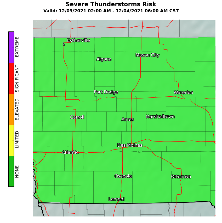
None
|
Severe thunderstorms are not expected today or tonight.
|
|
|
Later Today or Tonight
|
Severe thunderstorms will be possible later today or tonight .
|
|
|
Next 6 hours
|
Severe thunderstorms will be possible in the next 6 hours.
|
|
|
Next 3 hours
|
Severe thunderstorms will be possible in the next 3 hours.
|
| The Severe Thunderstorm Arrival Tool is a resource for municipalities, counties, and SKYWARN storm spotters to plan for possible storm spotter activation on the current calendar day. Other interests can also use the Severe Thunderstorm Arrival Tool to determine the expected time frame for severe thunderstorm potential. | ||
|
Risk Level
|
Definition
|
|
|
|
None
|
No tornado risk.
|
|
|
Limited
|
Probability of a tornado within 25 miles of a point:
less than 10 percent. |
|
|
Elevated
|
Probability of a tornado within 25 miles of a point:
Equal to or greater than 10 percent. |
|
|
Significant
|
Probability of a tornado within 25 miles of a point:
Equal to or greater than 30 percent. |
|
|
Extreme
|
Probability of a tornado within 25 miles of a point:
Equal to or greater than 45 percent. |
|
Risk Level
|
Definition
|
|
|
|
None
|
No risk of hail.
|
|
|
Limited
|
Risk of sub-severe hail (less than 1")
or Probability of severe hail (1" or greater) within 25 miles of a point: less than 15% |
|
|
Elevated
|
Probability of severe hail (1" or greater) within 25 miles of a point:
Equal to or greater than 15% |
|
|
Significant
|
Probability of severe hail (1" or greater) within 25 miles of a point:
Equal to or greater than 45% |
|
|
Extreme
|
Probability of severe hail (1" or greater) within 25 miles of a point:
Equal to or greater than 60% |
|
Risk Level
|
Definition
|
|
|
|
None
|
No thunderstorm wind risk.
|
|
|
Limited
|
Risk for sub-severe wind gusts (less than 58 mph)
or Probability of severe wind gusts (58 mph or greater) within 25 miles of a point: Less than 15% |
|
|
Elevated
|
Probability of severe wind gusts (58 mph or greater) within 25 miles of a point:
Equal to or greater than 15% |
|
|
Significant
|
Probability of severe wind gusts (58 mph or greater) within 25 miles of a point:
Equal to or greater than 45% |
|
|
Extreme
|
Probability of severe wind gusts (58 mph or greater) within 25 miles of a point:
Equal to or greater than 60% |
|
Risk Level
|
Definition Severe Thunderstorm Risk Day 2 to 7
|
|
|
|
None
|
No risk of severe thunderstorms.
|
|
|
Limited
|
Risk for severe thunderstorms with the
Probability of severe thunderstorms* within 25 miles of a point: Less than 15% |
|
|
Elevated
|
Probability of severe thunderstorms* within 25 miles of a point:
Equal to or greater than 15% |
|
|
Significant
|
Probability of severe thunderstorms* within 25 miles of a point:
Equal to or greater than 45% |
|
|
Extreme
|
Probability of severe thunderstorms* within 25 miles of a point:
Equal to or greater than 60% |
|
Risk Level
|
Definition
|
|
|
|
None
|
No lightning risk
|
|
|
Limited
|
Thunderstorms expected to be isolated to scattered in coverage.
Atmospheric conditions support cloud to ground lightning strikes in and near thunderstorms. |
|
|
Elevated
|
Thunderstorms expected to be numerous in coverage.
Atmospheric conditions support cloud to ground lightning strikes in and near thunderstorms. |
|
|
Significant
|
Widespread thunderstorms are expected.
Atmospheric conditions support cloud to ground lightning strikes in and near thunderstorms. |
|
|
Extreme
|
Thunderstorms are expected with nearly continuous cloud to ground lightning strikes in and near thunderstorms.
|
|
Risk Level
|
Definition
|
|
|
|
None
|
No Flooding risk.
|
|
|
Limited
|
Risk of localized flash flooding of small streams and low water crossings, and minor flooding of poor drainage or urban areas.
|
|
|
Elevated
|
Risk of flash flooding of several low water crossings, roads, and small streams, |
|
|
Significant
|
Risk of flash flooding of numerous roads, low water crossings, and small streams, |
|
|
Extreme
|
Risk of widespread flash flooding of low water crossings, roads, and small streams.
or Major river flooding. |
|
Risk Level
|
Definition
|
||||
|
|
None
|
Open burning is usually safe with proper containers and precautions under low fire danger conditions.
Residents should always check on local ordinances that prohibit open burning under any conditions. |
|||
|
|
Limited
|
Open burning is usually safe with the proper precautions.
Burning should be done in the early morning and late evening to avoid windier and drier conditions from midday through mid-afternoon. Residents should always check on local ordinances that prohibit open burning under any conditions. |
|||
|
|
Elevated
|
Any open burning is discouraged due to increased wind and lower humidity - except by experienced fire personnel.
Increasing winds and lower humidity contribute to drying fuels. Fires escape control more easily and containment is difficult for inexperienced fire personnel. Approaching Red Flag conditions. |
|||
|
|
Significant
|
Open burning should not be attempted.
High winds and extended dry periods lead to extreme burning conditions. Open fires can quickly escape and are very difficult to control, even for experienced fire fighters. Conditions exceed minimum criteria for a Red Flag Warning in most cases. |
|||
|
|
Extreme
|
Very strong winds, well in excess of Red Flag Criteria combined with moderate to low humidity.
Fires will spread very quickly with spot fires common. Fire control is extremely difficult due to very strong winds. |
|||
|
|||||
|
Risk Level
|
Definition
|
||
|
|
Low-Moderate
|
Favorable to marginal weather conditions with moderate to high moisture content of grasses and other dry organic material on the ground, indicating that the probability of a fast moving fire is low to a slight potential. Outdoor burning under these conditions can usually be performed with reasonable safety precautions, but should be monitored. Difficulty of fire suppression: Headfire can generally be stopped by road and tracks in low conditions and with water under moderate conditions.
|
|
|
|
High
|
Unfavorable weather conditions and low moisture content of grasses and other dry organic material on the ground, indicating that there is a high potential for fire to spread. Outdoor burning should be restricted to early morning or evening hours when wind speeds are usually lower and the relative humidity is higher. Burning is still favorable for well-planned burns by experienced land management personnel. Difficulty of fire suppression: Headfire attack generally successful with water.
|
|
|
|
Very High
|
Very poor weather conditions and very low moisture content of grasses and other dry organic material on the ground, indicating that dangerous burning conditions exist. Fires will spread rapidly and show erratic behavior. Outdoor burning is not recommended other than for experienced land management personnel. Difficulty of fire suppression: Direct headfire attack will become increasingly difficult. Spot fires are more likely.
|
|
|
|
Extreme (GFDI 50-75)
|
Extreme weather conditions and very low moisture content of grasses and other dry organic material on the ground, indicating that critical burning conditions exist. All fires have the potential to become large and spread quickly and become erratic with extreme fire behavioral characteristics. Difficulty of fire suppression: Direct attack on a headfire will generally fail. Back burn from a secure good line with adequate manpower and equipment. Flanks may become more difficult to control in shifting or erratic winds. Spot fires are likely.
|
|
|
|
Extreme (GFDI > 75)
|
Extreme grassland fire weather conditions that are rarely experienced in our area. Very high winds and low humidity with very dry cured grasses. Any fire that starts will spread rapidly and almost impossible to control. Fire suppression: Direct attack will likely fail, especially in heavy fuel loads.
|
|
|
|||
|
Risk Level
|
Definition
|
|
|
|
None
|
No risk of fog.
|
|
|
Limited
|
Fog with visibilities less than or equal to 1 mile.
|
|
|
Elevated
|
Fog with visibilities less than or equal to 1/2 mile.
|
|
|
Significant
|
Fog with visibilities less than or equal to 1/4 mile.
|
|
|
Extreme
|
Fog with near zero visibilities.
|
|
Risk Level
|
Definition
|
|
|
|
None
|
Sustained winds < 20 mph |
|
|
Limited
|
Sustained winds 20-29 mph
or Wind gusts 30-44 mph. |
|
|
Elevated
|
Sustained winds 30-39 mph
or Wind gusts 45-57 mph. |
|
|
Significant
|
Sustained winds 40-49 mph
or Wind gusts 58-64 mph. |
|
|
Extreme
|
Sustained winds > 50 mph
or Wind gusts > 65 mph. |
|
Risk Level
|
Definition
|
||||||||
|
|
None
|
Maximum Apparent Temperature < 95
|
|||||||
|
|
Limited
|
Maximum Apparent Temperature 95 to 104
|
|||||||
|
|
Elevated
|
Maximum Apparent Temperature 105 to 109 |
|||||||
|
|
Significant
|
Maximum Apparent Temperature 110 to 114 |
|||||||
|
|
Extreme
|
Maximum Apparent Temperature greater than or equal to 115
OR Maximum Apparent Temperataure greater than or equal to 105 for 5 consecutive days. |
|||||||
|
|||||||||
|
Risk Level
|
Definition
|
|
|
|
None
|
No snow or sleet.
|
|
|
Limited
|
Snow and/or sleet with less than 1 inch of accumulation expected.
|
|
|
Elevated
|
Snow and/or sleet with 1 to 5.9 inches of accumulation expected.
|
|
|
Significant
|
Snow and/or sleet with 6 to 11.9 inches of accumulation expected.
|
|
|
Extreme
|
Snow and/or sleet with greater than or equal to 12 inches of accumulation expected.
|
|
Risk Level
|
Definition
|
|
|
|
None
|
No freezing rain or drizzle.
|
|
|
Limited
|
Very light freezing rain or drizzle with up to a thin glaze, OR Freezing Fog.
|
|
|
Elevated
|
Freezing rain or drizzle with accumulation less than 1/4 inch.
|
|
|
Significant
|
Freezing rain with accumulation of 1/4 inch to less than 1 inch.
|
|
|
Extreme
|
Freezing rain with accumulation of greater than or equal to 1 inch.
|
|
Risk Level
|
Definition
|
|
|
|
None
|
No danger of frost or freeze causing damage to vegetation.
|
|
|
Limited
|
Patchy frost during the growing season with minor damage to unprotected vegetation.
|
|
|
Elevated
|
Frost expected during the growing season with damage to unprotected vegetation.
This may include temperatures less than or equal to 32 degrees F for less than 3 hours. |
|
|
Significant
|
Freeze expected (less than or equal to 32 degrees F for 3 or more hours) during the growing season with significant damage to unprotected vegetation.
|
|
|
Extreme
|
Hard freeze (less than or equal to 28 degrees F) during the growing season with catastrophic damage to unprotected vegetation.
|
|
Risk Level
|
Definition
|
||||||||
|
|
None
|
Minimum apparent temperature greater than or equal to 10 degrees F.
|
|||||||
|
|
Limited
|
Minimum apparent temperature -9 to 9 deg F.
|
|||||||
|
|
Elevated
|
Minimum apparent temperature -10 to -24 deg. F
|
|||||||
|
|
Significant
|
Minimum apparent temperature -25 to -34 deg. F.
|
|||||||
|
|
Extreme
|
Minimum apparent temperature less than or equal to -35 degrees F
|
|||||||
|
|||||||||
The Experimental Enhanced Hazardous Weather Outlook is an experimental product that will be posted to this page for evaluation. We encourage your comments or suggestions for improvements using the electronic survey provided. Your feedback will help us determine product utility, if modifications are needed, and whether the product should become part of our operational suite. | Product Description Document
The Experimental Enhanced Hazardous Weather Outlook is a decision support service that supports preparedness and response efforts prior to and during hazardous weather. This service provides decision makers with convenient access to potential weather hazard information by graphically depicting the risk of weather hazards out through seven days.

