Quad Cities, IA/IL
Weather Forecast Office
Heavy rain led to flash flooding and river flooding in and close to Delaware County, IA, starting late afternoon on Sunday, October 7th. Portions of Delaware County saw rainfall amounts as high as 5 to 6 inches over a 6-hour period. These rainfall amounts translate to the 1% annual chance rainfall event for a 6-hour duration. This means that there is a 1% chance of this amount of rainfall occurring in any given year.
Flooding affected many locations in and close to Delaware County, including the City of Manchester. There were reports of street and basement flooding. Flood waters washed out bridges and roads in Delaware County.
Below are the radar-estimated rainfall amounts for this event through 4 am Monday, October 8th.
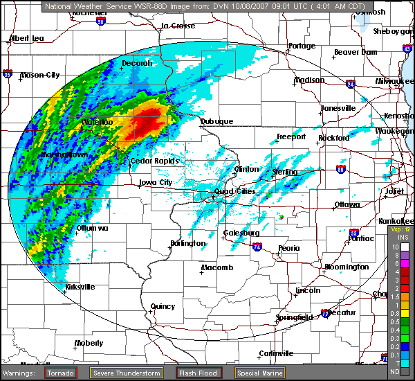
NOAA/NWS Quad Cities, IA/IL, Doppler radar estimated rainfall through 4 am CDT, Monday, October 8th.
Hazardous Weather
Watches, Warnings, & Advisories
Briefing
Hazards Page
View Local Storm Reports
Submit Report
Road Reports
Text Products
Forecasts
Fire Weather
Briefing
Hourly Forecast Graphs
Forecast Discussion
User-Defined Area
Activity Planner
Local Forecasts
Space Weather
Text Products
River Graphs
Airport Forecasts
Snow and Ice Probabilities
Winter Storm Severity Index (WSSI)
Current Conditions
Observations
Drought Monitor
Radar
Satellite
Text Products
Rivers and Lakes
River Graphs
Sunrise/Sunset Tables
Seasons (Equinoxes/Solstices)
Road Reports
Past Weather
Recent Observation History
Climate Summaries
Past Events
Climate Normals/Averages
Climate Records
Climate/Almanac Data
Holiday Climatology
Climate Maps
Monthly Climate Stats
Annual Climate Stats
Observation Site History
Sunrise/Sunset Tables
US Dept of Commerce
National Oceanic and Atmospheric Administration
National Weather Service
Quad Cities, IA/IL
9040 N Harrison Street
Davenport Municipal Airport
Davenport, IA 52806-7326
563-386-3976
Comments? Questions? Please Contact Us.

