Widespread life-threatening flash and urban flooding will continue to pose a significant threat to life and property in south-central Texas. Catastrophic fiver flooding, with rapid rises on small streams, arroyos, and typically dry washes, is expected. Monsoonal showers persist across the Great Basin and Southwest with greatest flash flooding in southern Arizona. Read More >
| 72 Hour Snow Amount Potential
Experimental - Leave feedback
|
|
| Expected 72 Hour Snowfall - Official NWS Forecast
What's this? |
High End 72 Hour Amount 1 in 10 Chance (10%) of Higher Snowfall What's this? |
| Low End 72 Hour Amount 9 in 10 Chance (90%) of Higher Snowfall What's this? |
|
| Percent Chance That 72 Hour Snow Amounts in Will Be Greater Than...
Experimental - Leave feedback
What's this?
|
||||||||||||||||
|
||||||||||||||||
| 72 Hour Snowfall Totals by Location
Experimental - Leave feedback
What's this?
|
|
|
| 72 Hour Ice Accumulation Potential
Experimental - Leave feedback
|
|
| Expected 72 Hour Ice Accumulation - Official NWS Forecast
What's this? This is the elevated flat surface ice accumulation. It is not radial/line ice. Radial/line ice is typically 39% of the elevated flat surface ice. For more information on this, see this module. |
High End 72 Hour Amount 1 in 10 Chance (10%) of Higher Ice Accumulation What's this? |
| Low End 72 Hour Amount 9 in 10 Chance (90%) of Higher Ice Accumulation What's this? |
|
| Percent Chance That 72 Hour Ice Accumulation Will Be Greater Than...
Experimental - Leave feedback
What's this?
|
||||||||||||||||
|
||||||||||||||||
| 72 Hour Ice Accumulation by Location
Experimental - Leave feedback
What's this?
|
|
|
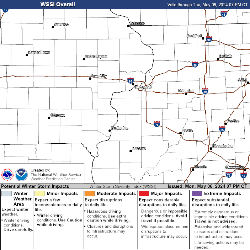
| Winter Storm Severity Index (WSSI) | Winter Storm Outlook (WSO) |
|---|---|
 |
 |
| National Snow Reports | National Snowfall Analysis |
|---|---|
 |
 |
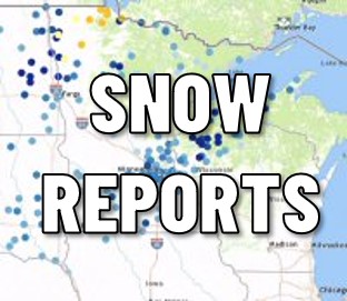
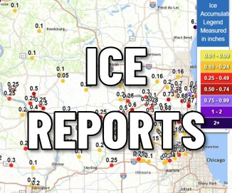
| Local Snow / Ice Reports | |
| Days 4-7 Winter Weather Outlook | |
| Day 4 Winter Weather Outlook | Day 5 Winter Weather Outlook |
 |
 |
| Day 6 Winter Weather Outlook | Day 7 Winter Weather Outlook |
 |
 |
| CPC Week-2 Experimental Heavy Snow Risk | |
 |
|
| CPC Temperature & Precipitation Maps | |
|
Days 6-10 |
|
| Temperature | Precipitation |
 |
 |
|
Days 8-14 |
|
| TEMPERATURE | PRECIPITATION |
 |
 |
|
Week 3-4 |
|
|
TEMPERATURE |
PRECIPITATION |
 |
 |
| Selected City Charts | |
Expected Snowfall - Box and Whisker Plot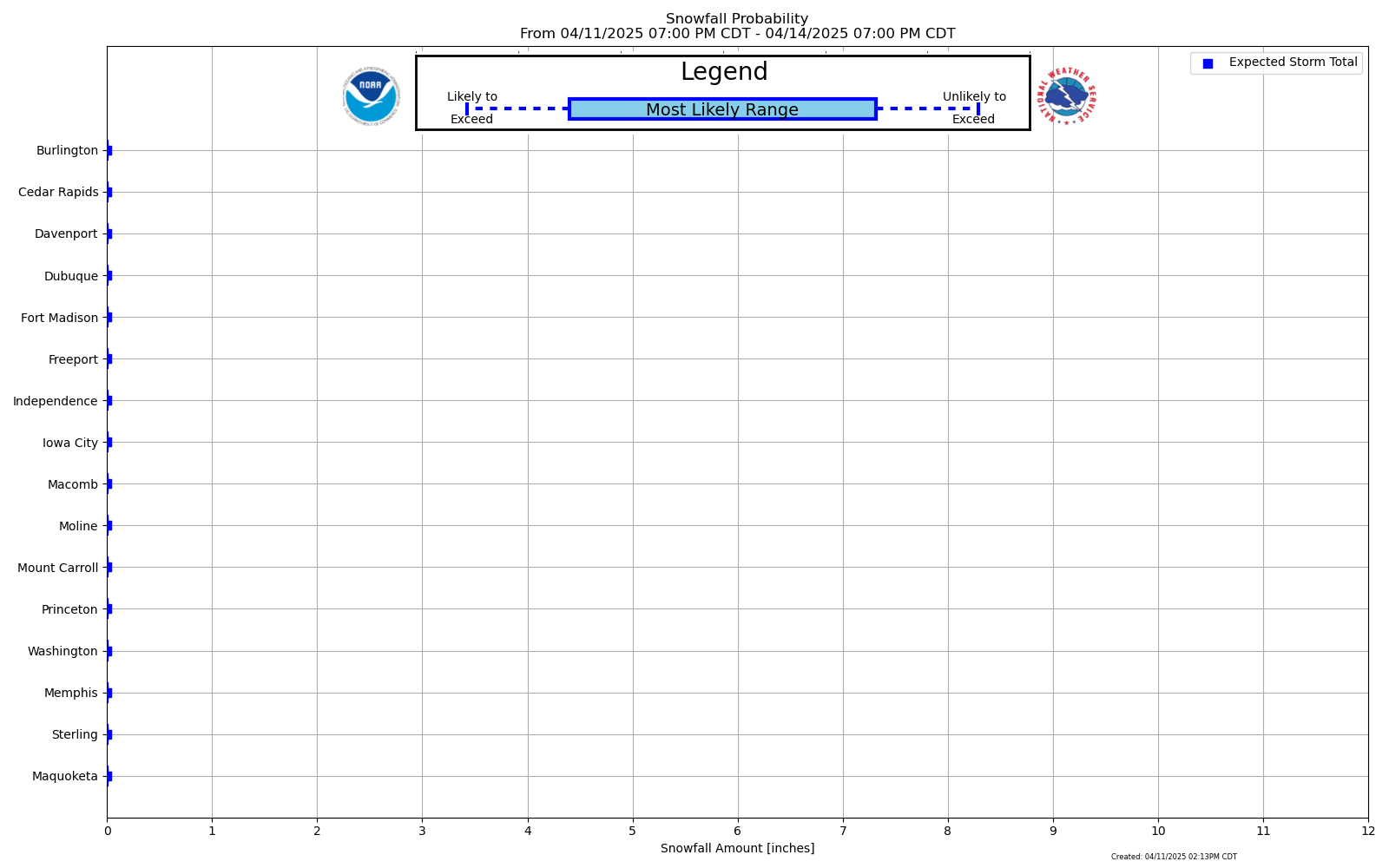 |
Expected Snowfall - Exceedance Bar Plot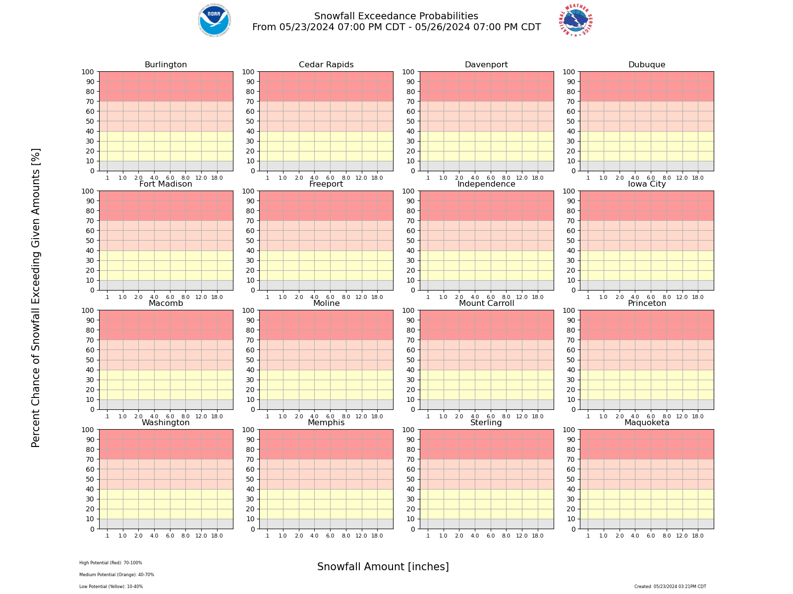 |