
Numerous severe thunderstorms with a potential for 60-80 mph winds, along with tornadoes (some strong), and large to very large hail are expected across the northern and central Plains through tonight. Heavy to excessive rainfall may bring a flooding threat to parts of North Dakota and Minnesota, and from the Ohio Valley to the Southeast through tonight. Read More >
The National Weather Service will change the flood stages and flood categories for several streamgages on the Iowa River in eastern Iowa. The changes were set to be changed on February 7th, but as there is ongoing flood warnings for several of these locations, the flood stages at all sites will be converted once all warnings have been cancelled.
The locations that will be have changes in flood stages are:
The changes in flood stages are due to a recent re-evaluation by the NWS, local Emergency Management Agencies, and other partners regarding flooding impacts using information from recent floods.
The new flood categories will be as follows (all values at level above gage zero datum):
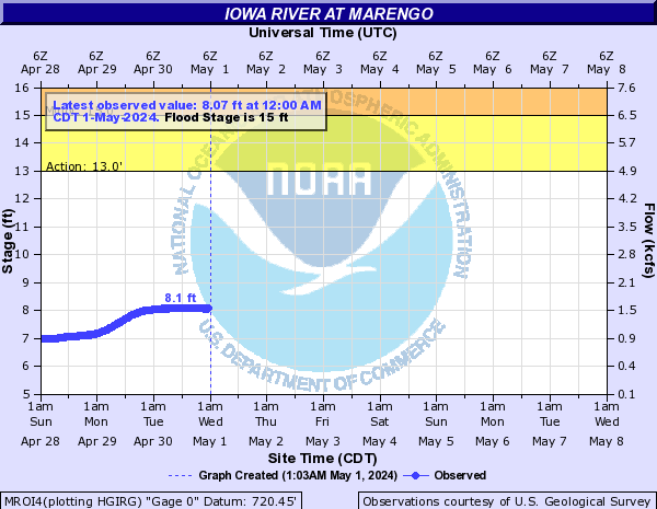
| Iowa River at Marengo (MROI4) |
| Gage zero datum: 720.52 ft above MSL NGVD29 |
| New Flood Categories | Previous Flood Categories | |
| --------------------------------- | -------------------------------------- | |
| Action Stage: 13.0 ft | Action Stage: 13.0 ft | |
| Flood Stage: 15.0 ft | Flood Stage: 14.0 ft | |
| Moderate Flood Stage: 17.0 ft | Moderate Flood Stage: 15.5 ft | |
| Major Flood Stage: 19.0 ft | Major Flood Stage: 18.5 ft |
| Iowa River at Iowa City (IOWI4) |
| Gage zero datum: 617.27 ft above MSL NGVD29 |
| New Flood Categories | Previous Flood Categories |
| ------------------------------------ | -------------------------------------- |
| Action Stage: 21.0 ft | Action Stage: 21.0 ft |
| Flood Stage: 23.5 ft | Flood Stage: 22.0 ft |
| Moderate Flood Stage: 24.5 ft | Moderate Flood Stage: 23.0 ft |
| Major Flood Stage: 26.0 ft | Major Flood Stage: 25.0 ft |
| Iowa River at Lone Tree Tri-County Bridge (LNTI4) |
| Gage zero datum: 588.16 ft above MSL NGVD29 |
| New Flood Categories | Previous Flood Categories |
| ------------------------------------ | -------------------------------------- |
| Action Stage: 14.0 ft | Action Stage: 14.0 ft |
| Flood Stage: 16.0 ft | Flood Stage: 15.0 ft |
| Moderate Flood Stage: 18.5 ft | Moderate Flood Stage: 16.5 ft |
| Major Flood Stage: 22.0 ft | Major Flood Stage: 18.0 ft |
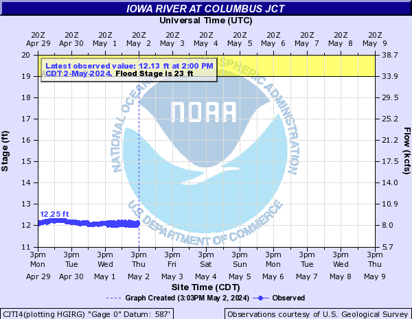
| Iowa River at Columbus Junction (CJTI4) |
| Gage zero datum: 558.29 ft above MSL NGVD29 |
| New Flood Categories | Previous Flood Categories |
| ------------------------------------ | -------------------------------------- |
| Action Stage: 19.0 ft | Action Stage: 18.0 ft |
| Flood Stage: 23.0 ft | Flood Stage: 19.0 ft |
| Moderate Flood Stage: 25.0 ft | Moderate Flood Stage: 22.0 ft |
| Major Flood Stage: 26.5 ft | Major Flood Stage: 23.0 ft |
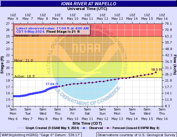
| Iowa River at Wapello (WAPI4) |
| Gage zero datum: 538.17 ft above MSL NGVD29 |
| New Flood Categories | Previous Flood Categories |
| ------------------------------------ | -------------------------------------- |
| Action Stage: 18.5 ft | Action Stage: 18.5 ft |
| Flood Stage: 21.0 ft | Flood Stage: 20.0 ft |
| Moderate Flood Stage: 25.0 ft | Moderate Flood Stage: 22.0 ft |
| Major Flood Stage: 27.5 ft | Major Flood Stage: 25.0 ft |
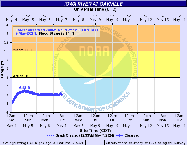
| Iowa River at Oakville (OKVI4) |
| Gage zero datum: 535.641 ft above MSL NGVD29 |
| New Flood Categories | Previous Flood Categories |
| ------------------------------------ | -------------------------------------- |
| Action Stage: 8.0 ft | Action Stage: 8.0 ft |
| Flood Stage: 11.0 ft | Flood Stage: 10.0 ft |
| Moderate Flood Stage: 15.0 ft | Moderate Flood Stage: 12.0 ft |
| Major Flood Stage: 20.0 ft | Major Flood Stage: 19.0 ft |
Forecasts routinely incorporate 24 hours of forecast rainfall from April 1 through September 30, and 48 hours of forecast rainfall from October 1 through March 31.
The latest river stage and forecast information for these and other locations can be obtained from a variety of sources. These sources include:
| Marengo (MROI4) | Iowa City (IOWI4) | Lone Tree Tri-County Bridge (LNTI4) | ||
 |
 |
 |
||
| Columbus Junction (CJTI4) | Wapello (WAPI4) | Oakville (OKVI4) | ||
 |
 |
 |
|
These streamgages are operated and maintained by the US Geological Survey (USGS) and the US Army Corps of Engineers (USACE). The NWS obtains observational data courtesy of the USGS and USACE for river stage forecasting. |
Official Service Change Notice
Any questions or comments regarding these new services can be addressed to:
Jessica Brooks
National Weather Service
Quad Cities Weather Forecast Office
563-391-7094, or by email at jessica.brooks@noaa.gov

