National Weather Service United States Department of Commerce

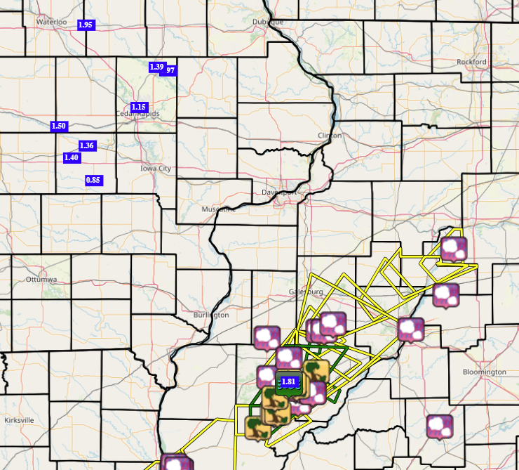
Two severe storms tracked across McDonough County during the late afternoon and early evening of May 2, 2024.  The first one produced large hail up to golf ball size.  The second storm tracking nearly across the same areas produced large hail and some damaging winds. Heavy rains with the two storms resulted in some minor flooding of some creeks with some shallow water flowing across some county roadways.

SPC Severe Weather Event: May 2, 2024


IEM LSR MAP


Preliminary Local Storm Report...Summary
National Weather Service Quad Cities IA IL
905 PM CDT Thu May 2 2024

..TIME...   ...EVENT...      ...CITY LOCATION...     ...LAT.LON...
..DATE...   ....MAG....      ..COUNTY LOCATION..ST.. ...SOURCE....
            ..REMARKS..

1038 AM     Rain             Parnell                 41.59N 92.01W
05/02/2024  M0.85 Inch       Iowa               IA   Trained Spotter  


1116 AM     Rain             Belle Plaine            41.90N 92.28W
05/02/2024  M1.50 Inch       Benton             IA   Trained Spotter  

            So far. 

1200 PM     Rain             2 W Genoa Bluff         41.72N 92.18W
05/02/2024  M1.40 Inch       Iowa               IA   Trained Spotter  

            rainfall from 6 AM to 12 PM. 

0100 PM     Rain             Jesup                   42.48N 92.07W
05/02/2024  M1.95 Inch       Buchanan           IA   Trained Spotter  


0116 PM     Rain             2 SW Prairieburg        42.22N 91.44W
05/02/2024  M0.97 Inch       Linn               IA   Trained Spotter  

            Total overnight. 

0330 PM     Hail             3 SE Macomb             40.44N 90.65W
05/02/2024  M0.25 Inch       McDonough          IL   Trained Spotter  

            pea hail. also had 0.6 inches of rain in 15 
            min. power outage for about 50 min. 

0356 PM     Hail             1 W Swan Creek          40.67N 90.67W
05/02/2024  M0.75 Inch       Warren             IL   Trained Spotter  


0357 PM     Hail             Bushnell                40.55N 90.50W
05/02/2024  M1.00 Inch       McDonough          IL   Trained Spotter  

            Relayed by ILX and Fulton CO EM. 

0452 PM     Hail             4 SE Adair              40.37N 90.45W
05/02/2024  M1.50 Inch       McDonough          IL   Trained Spotter  

            Narrow swath of hail covering the road on 
            650th street about 2 miles west of Table 
            Grove. Quarter to ping pong ball sized hail 
            stones. Time estimated by radar. 

0500 PM     Rain             3 NNE Cedar Rapids      42.01N 91.66W
05/02/2024  M1.15 Inch       Linn               IA   Trained Spotter  

            Last night into today total. 

0500 PM     Rain             1 SE Marengo            41.79N 92.06W
05/02/2024  M1.36 Inch       Iowa               IA   Trained Spotter  

            daily total through 5 pm. 

0512 PM     Rain             2 N Central City        42.24N 91.52W
05/02/2024  M1.39 Inch       Linn               IA   Trained Spotter  


0518 PM     Tstm Wnd Dmg     Industry                40.32N 90.61W
05/02/2024                   McDonough          IL   Trained Spotter  

            Reported a large tree limb down. Time of the 
            event estimated using radar. 

0545 PM     Tstm Wnd Dmg     2 SE Adair              40.40N 90.47W
05/02/2024                   McDonough          IL   Broadcast Media  

            Photo of a large tree broken off about 3 
            feet up the trunk. Time of the event was 
            estimated using radar. 

0546 PM     Tstm Wnd Dmg     Adair                   40.42N 90.50W
05/02/2024                   McDonough          IL   Public           

            Several reports of several large(8-12 
            inches) limbs down in Adair. Power poles 
            reported bent over on 136 between Adair and 
            Table Grove. Winds last about 5 minutes. 
            Time of event estimated using radar. 

0625 PM     Flood            1 SSE Adair             40.40N 90.50W
05/02/2024                   McDonough          IL   Trained Spotter  

            about 4 to 5 inches of water on blacktop 
            roads south of Adair. Water getting close to 
            136 north of Adair. 

0630 PM     Rain             Adair                   40.42N 90.50W
05/02/2024  M1.81 Inch       McDonough          IL   Mesonet          

            Reported on private weather station through 
            630 PM. 

0645 PM     Hail             1 NW Mc Nabb            41.19N 89.23W
05/02/2024  E0.25 Inch       Putnam             IL   Trained Spotter  

            Slightly less than quarter inch estimate. 


&&

$$