|
November 15th, 1997 will go down in the record books as a very interesting snow system. On Friday we predicted 3 to 6 inches of snow would fall where a Snow Advisory was put out. On average, this turned out to be a very good forecast. However, due to a combination of effects, a narrow band of 6 to 10 inches of snow fell. From a large number of snowfall reports, the maximum snow band stretched from Fairbank, IA to Parkview, IA to Geneseo, IL.
Looking at the meteorology of the storm, we found that Saturday morning our 12Z sounding indicated that only 0.29" of precipitable water was recorded. The snow that fell had a liquid water equivalent up to 3/4". The storm was an efficient precipitation producer. The other factor that played a role was the static stability. Lapse rates in the 850-500mb layer were 7-8C/km, which is indicative of a conditionally unstable atmosphere. On our radar that night, we did see some elements that suggested some of the snow was convective in nature, which certainly contributed to the narrow band of higher snow amounts.
Looking back at the data, there were no traditional scientifically sound snow forecasting methods that would have predicted the narrow path of 6 to 10 inches of snow.
City and Town Snowfall Reports
- Belle Plaine 1.1"
- Burlington 0.2"
- Central Point 8"
- Clinton 6"
- Coggon 8.8"
- Dewitt 6.2"
- Geneseo 7.5"
- Fairbank 7.4"
- Fulton 6"
- Independence 7.5"
- Maquoketa 6"
- Muscatine 0.75"
- Otter Creek 5"
- Parkview 10"
- Swisher 1.4"
- Tipton 6"
- Walford 2"
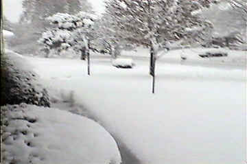
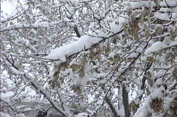
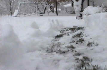
Pictures from Parkview, IA
| The Front Yard |
The Trees |
The Path to the Birdfeeder |
 |
 |
 |
| |
Photos courtesy: Eric Helgeson |
|
| |
|
|
| |
|
|
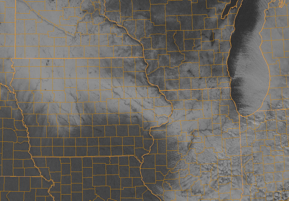
| Below you can see the 1km Visible Satellite image taken on Sunday, November 16th, 1997 around noon which shows the snow cover over Eastern Iowa and Northwest Illinois. |
 |
| |
|



 Follow us on X
 Follow us on Facebook
 Follow us on YouTube
 DVN RSS Feed