
Heavy rain and widely scattered severe storms capable of large hail, damaging winds, and possibly a tornado are expected over portions of the central and southern Plains into the Lower Missouri Valley. Unseasonable warmth will continue for a few more days across the Midwest and Southeast where several daily record highs could fall. Read More >
Overview:
|
The NWS is changing the format of Flash Flood Warning text products to impact based warnings. Effective November 18, 2019, each Flash Flood Warning will contain a bulleted format of information describing the flash flood, the source of the information, and a description of the expected impact. With this change, the NWS is aiming to improve the public response to Flash Flood Warnings by providing easily readable information while Wireless Emergency Alerts (WEA)* will only be sent to mobile devices for high level flash flood events that require immediate life-saving action. With the ability to better characterize the threat of flooding and the expected severity of the impacts, the NWS hopes to lessen the perception that the NWS over-alerts for flash flooding. *Through November 18, 2019, ALL Flash Flood Warnings have triggered WEA alerts. With more than 4,000 Flash Flood Warnings being issued in the USA each year, there is public perception that the NWS over-alerts for flash flooding. |
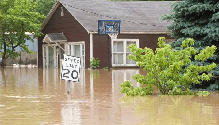 Photo: American Red Cross |
Impact-Based Flash Flood Warning Fact Sheet
Example Warning:
|
The National Weather Service in the Quad Cities has issued a * Flash Flood Warning for… Northern Jackson County in east central Iowa… Dubuque County in northeast Iowa… This includes the city of Dubuque… Jo Daviess County in northwest Illinois… This includes the city of Galena… * Until 415 AM CDT Thursday. * At 707 PM CDT, local law reported flash flooding from a strong thunderstorm with very heavy rain over eastern Dubuque County and western Jo Daviess County. Rainfall rates of a half inch in 20 to 30 minutes have been observed. HAZARD…Life-threatening flash flooding caused by heavy rain. SOURCE…Law enforcement and observed rainfall. IMPACT…Unusual and life threatening flash flooding of creeks and streams, urban areas, highways, streets and underpasses. * Some locations that will experience flooding include… Centralia, Warren, Scales Mound, Menominee, East Dubuque, Council Hill, Apple River, Sherrill, Sageville, Rickardsville, New Vienna, Luxemburg, Holy Cross, Dyersville, Durango, Bankston, Balltown and Asbury. PRECAUTIONARY/PREPAREDNESS ACTIONS… This is an extremely dangerous and life-threatening situation. Do not attempt to travel unless you are fleeing an area subject to flooding. && LAT…LON 4265 9073 4263 9070 4251 9063 4251 9003 4250 8993 4220 8992 4220 9030 4229 9067 4230 9112 4264 9112 4265 9091 4268 9088 FLASH FLOOD…OBSERVED FLASH FLOOD DAMAGE THREAT…CONSIDERABLE EXPECTED RAINFALL…1-2 INCHES PER HOUR |
|
Flood Safety:
|
NWS Flood Safety: https://www.weather.gov/safety/flood National Flood Insurance Program: www.floodsmart.gov FEMA Flood Page: https://www.ready.gov/floods |
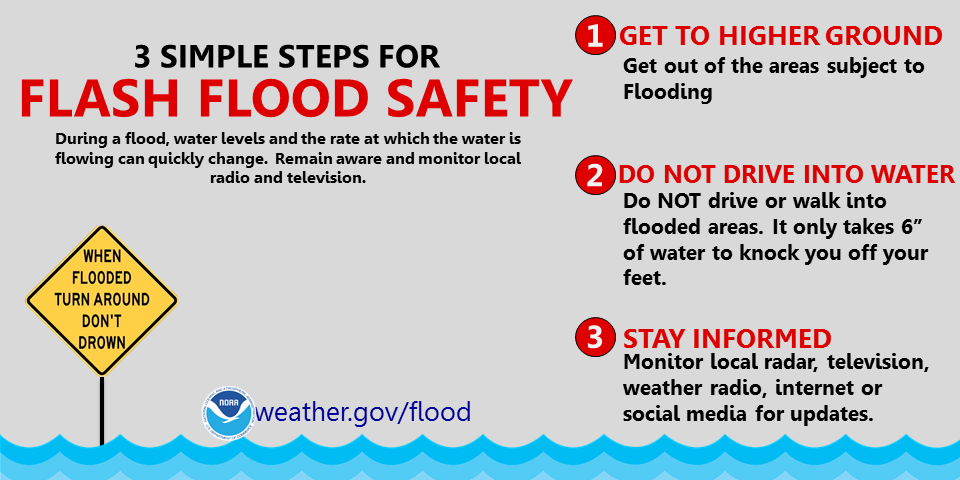
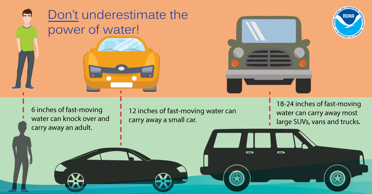
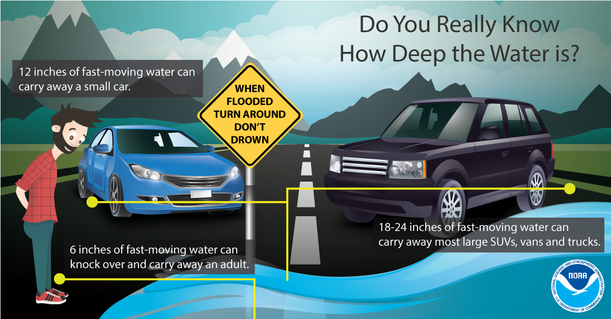
Flash Flood Information Graphics:
 |
 |
 |
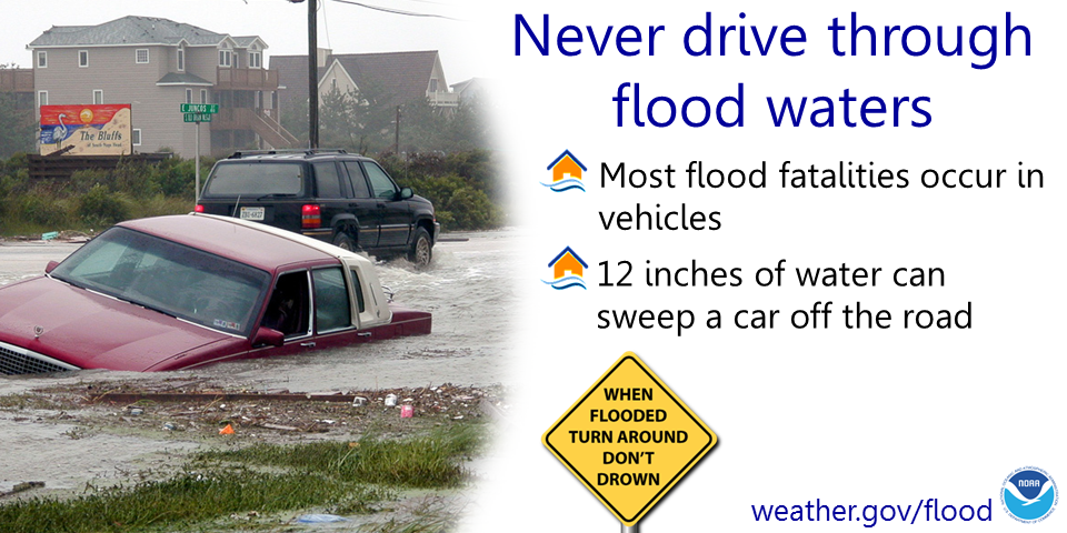 |
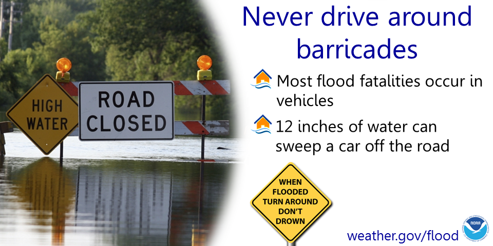 |
|
 |
Media use of NWS Web News Stories is encouraged! Please acknowledge the NWS as the source of any news information accessed from this site. |
|



 Follow us on X
 Follow us on Facebook
 Follow us on YouTube
 DVN RSS Feed