Life-threatening and locally catastrophic flash and urban flooding is expected across portions of south-central Texas through early Friday, with significant river flooding and rapid rises on small streams, arroyos, and typically dry washes expected. A significant heat wave continues for the Rockies, Northern Plains, and Great Lakes into the Mid-Atlantic, peaking in intensity through midweek. Read More >
Overview
|
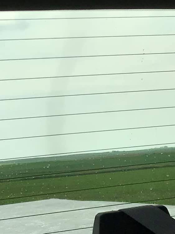
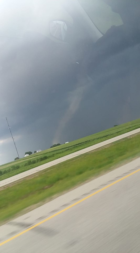
Thunderstorms developed ahead of a cold front Sunday afternoon across portions of eastern Iowa. The storms were weak, but still were able to produce three brief landspout tornadoes over the region. Additionally, brief heavy rain and wind gusts up to 50 mph were seen with the stronger storms. |
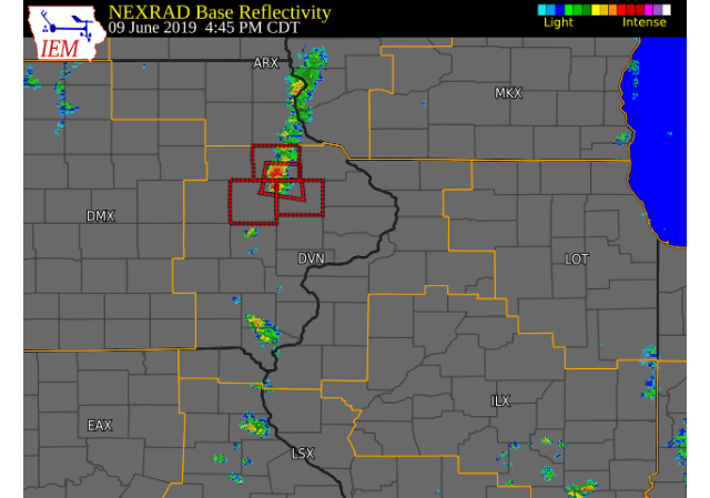 RADAR LOOP (Courtesy: IEM) |
Tornadoes
|
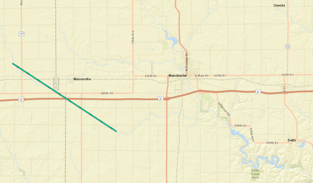
Tornado 1 - Masonville, IA
|
||||||||||||||||
|
||||||||||||||||
|
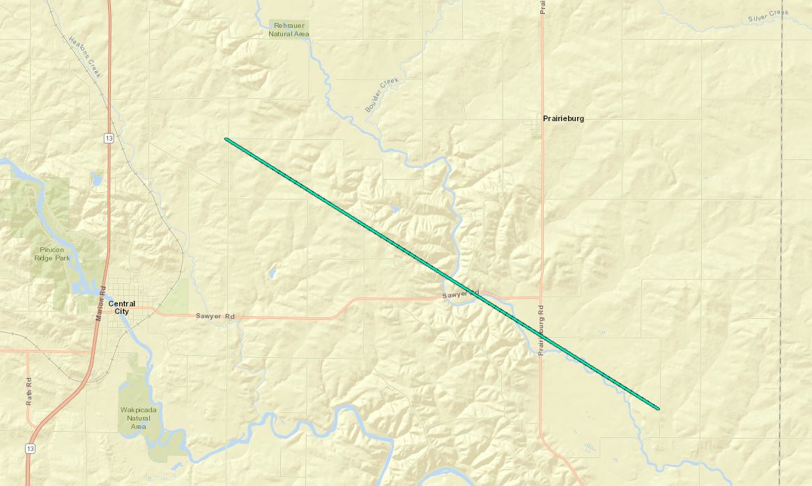
Tornado 2 - 2 NE Central City, IA
|
||||||||||||||||
|
||||||||||||||||
|
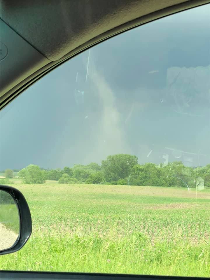
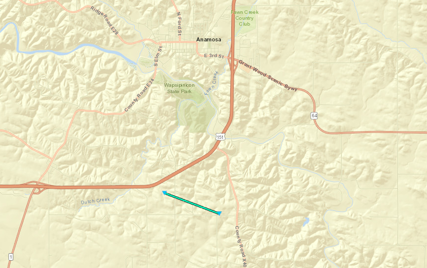
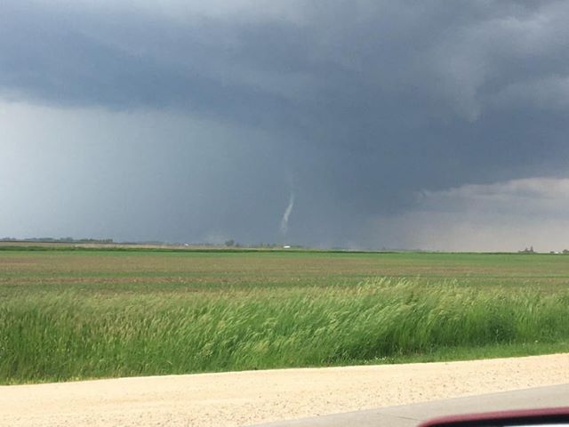
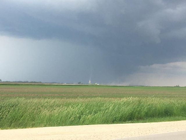
Tornado 3 - Anamosa, IA
|
||||||||||||||||
|
||||||||||||||||
The Enhanced Fujita (EF) Scale classifies tornadoes into the following categories:
| EF0 Weak 65-85 mph |
EF1 Moderate 86-110 mph |
EF2 Significant 111-135 mph |
EF3 Severe 136-165 mph |
EF4 Extreme 166-200 mph |
EF5 Catastrophic 200+ mph |
 |
|||||
 |
Media use of NWS Web News Stories is encouraged! Please acknowledge the NWS as the source of any news information accessed from this site. |
|