
Remnant moisture from Tropical Storm Rachel will persist over portions of the Great Basin and Southwest on Monday, bringing a potential heavy to excessive rainfall risk. Well above average and potentially record breaking temperatures will develop across the Plains and Midwest early this week, spreading into the Lower Mississippi Valley and Southeast midweek. Read More >
Overview
|
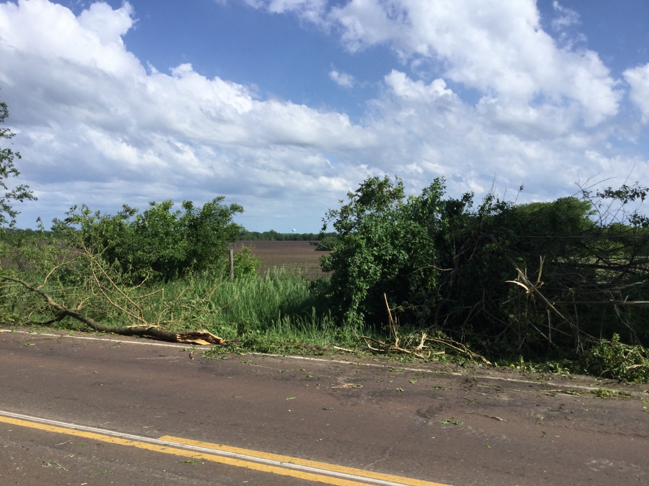
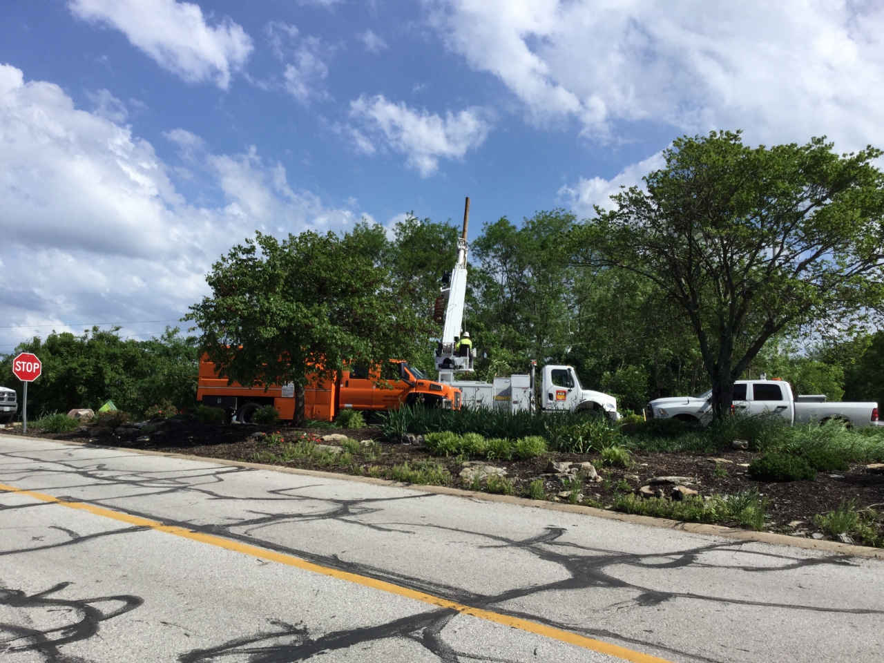
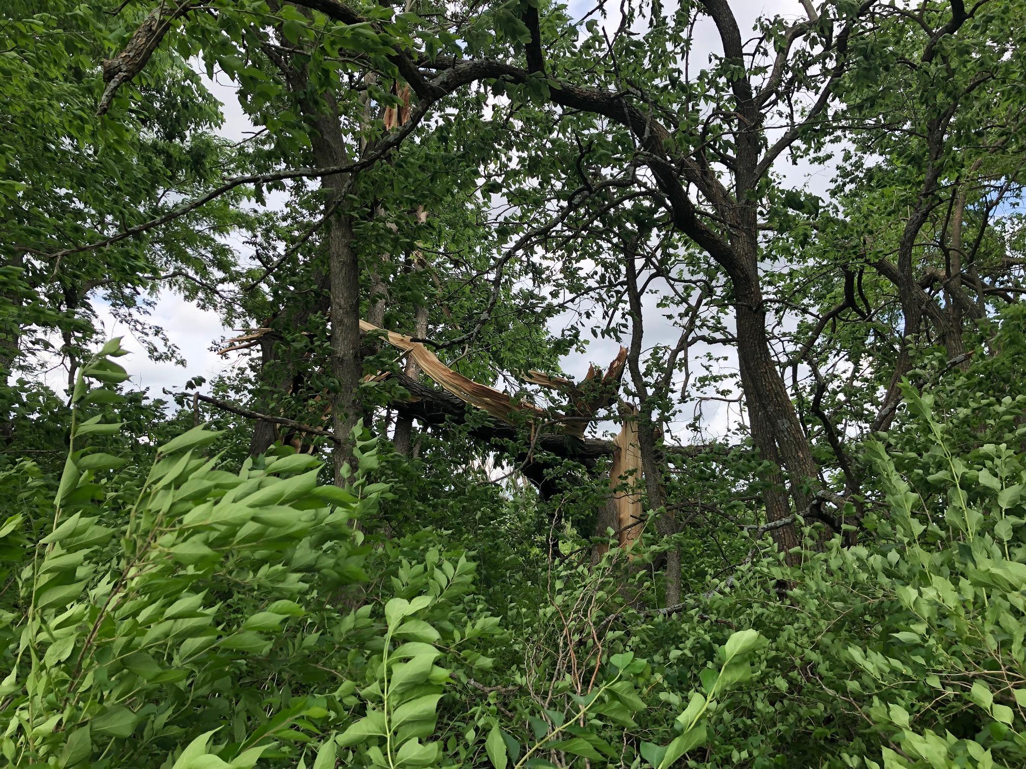
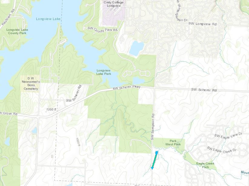
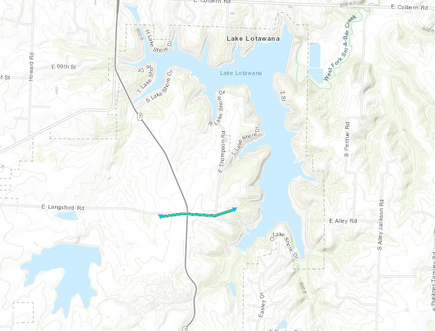
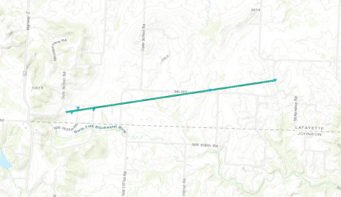
A couple of brief tornadoes developed Friday evening across Jackson and Lafayette Counties in MO. The first near Longview Lake, second near Lake Lotawana, and third was just north of the Lafayette and Johnson County border. All caused minor tree damage and were rated EF-0 with the Lafayette County tornado causing some structural damage. |
 |
 |
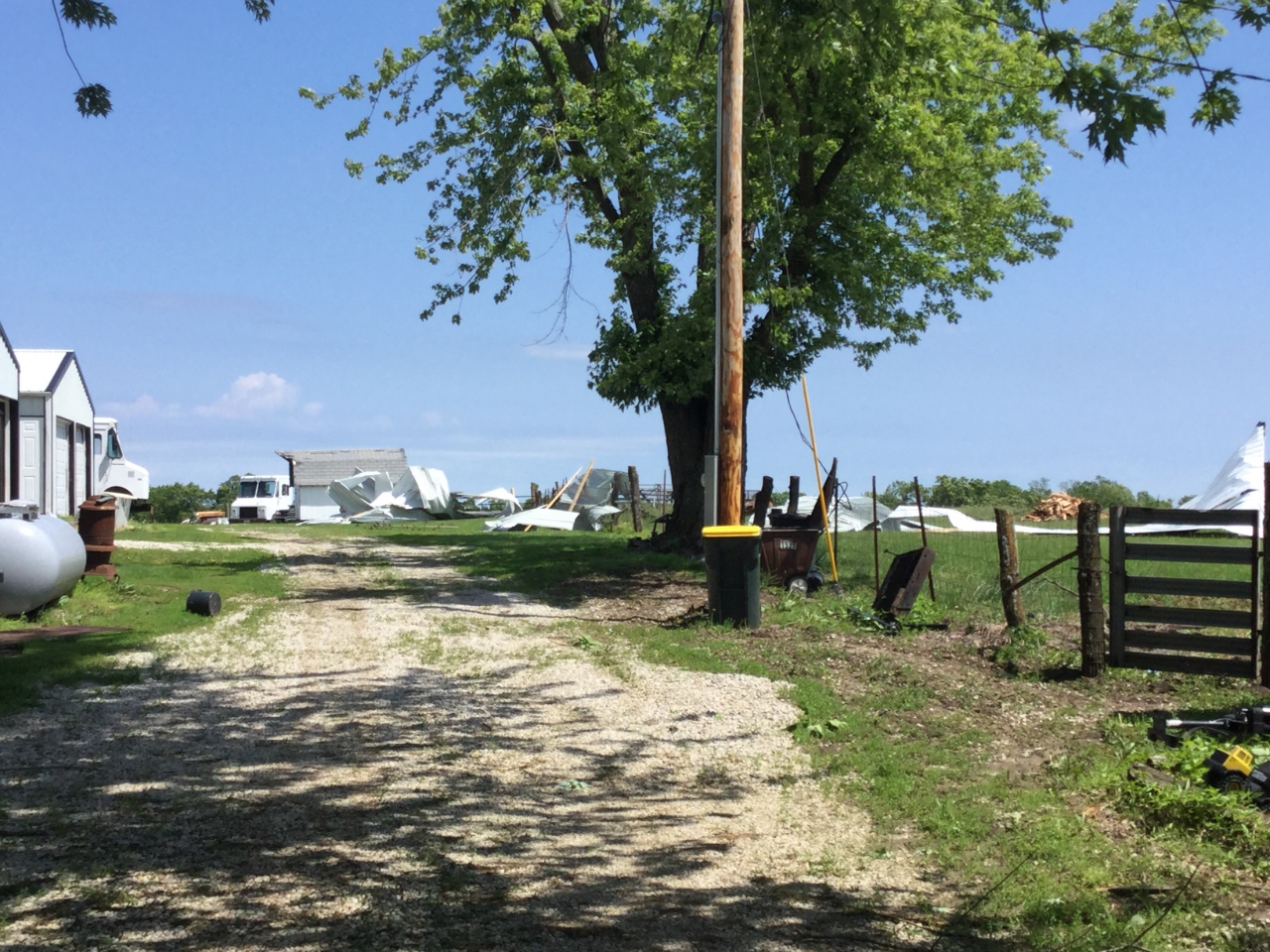 |
| Tornado Damage near Lake Lotawana | Tornado Damage near Lake Lotawana | Straightline wind damage in NW Johnson County |
 |
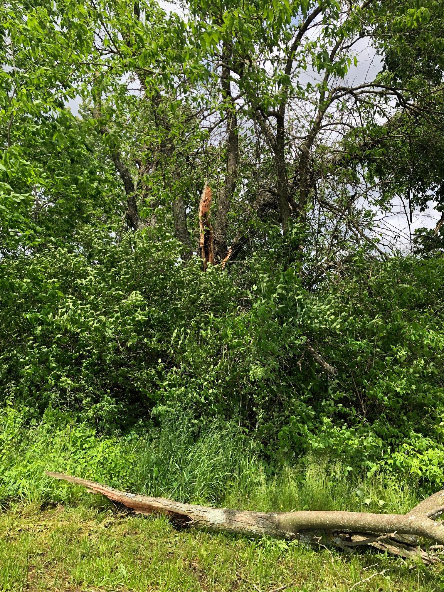 |
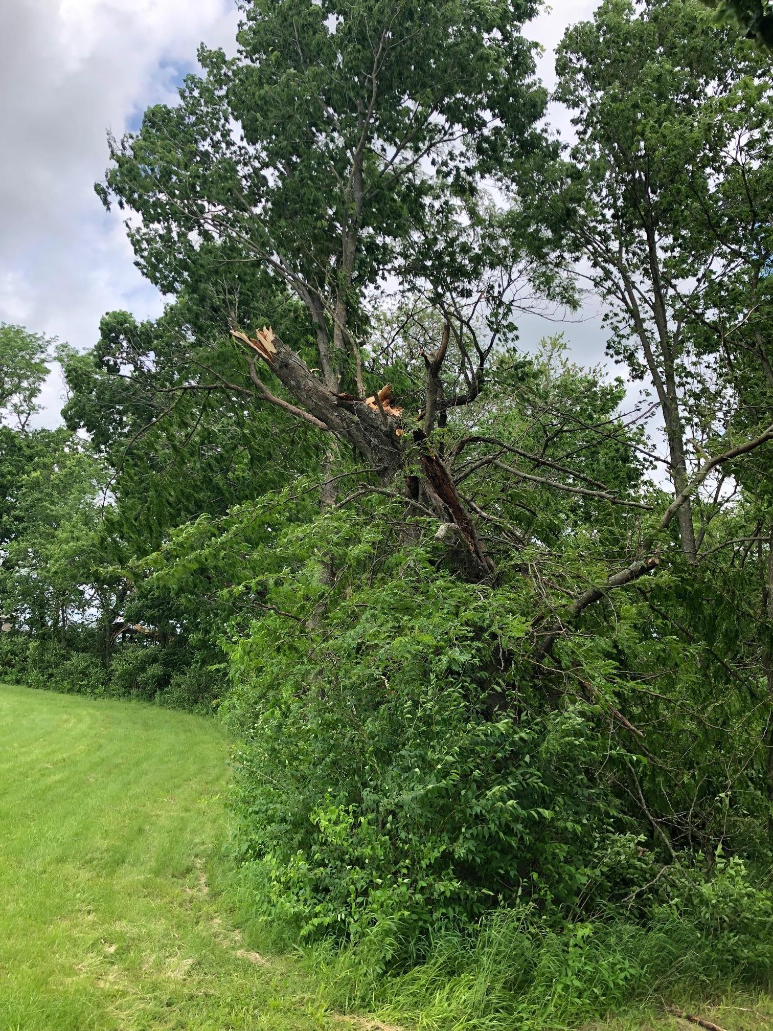 |
| Tornado Damage near Longview Lake | Tornado Damage near Longview Lake | Tornado Damage near Longview Lake |
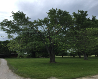 |
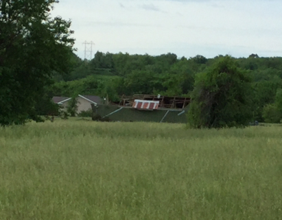 |
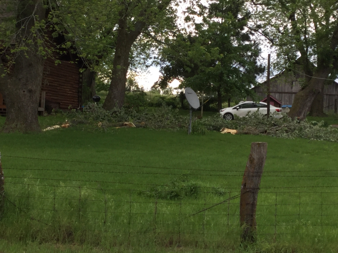 |
| Tornado Damage in southern Lafayette County | Tornado Damage in southern Lafayette County | Tornado Damage in southern Lafayette County |
Tornadoes:
|
Tornado - Longview Lake
|
||||||||||||||||
|
Tornado - Lake Lotawana
|
||||||||||||||||
|
Tornado - Lafayette County
|
||||||||||||||||
The Enhanced Fujita (EF) Scale classifies tornadoes into the following categories:
| EF0 Weak 65-85 mph |
EF1 Moderate 86-110 mph |
EF2 Significant 111-135 mph |
EF3 Severe 136-165 mph |
EF4 Extreme 166-200 mph |
EF5 Catastrophic 200+ mph |
 |
|||||
 |
Media use of NWS Web News Stories is encouraged! Please acknowledge the NWS as the source of any news information accessed from this site. |
|




 Weather Story
 Weather Map
 Local Radar
 Follow us on X
 Follow us on Facebook
 Follow us on YouTube
 EAX RSS Feed