
A Nor'easter will create hazardous marine and coastal conditions along the Mid-Atlantic coast through mid-week, with significant coastal flooding and beach erosion possible. Meanwhile, another strong storm system is forecast to bring high winds and heavy precipitation to portions of southern Alaska. Elsewhere, relatively benign weather is expected through the first half of the work week. Read More >
Kansas City/Pleasant Hill, MO
Weather Forecast Office
Overview
|
Through sunrise, light snow/flurries and freezing drizzle was occurring across portions of far northern Missouri. Farther south, temperatures were in the upper 30s to lower 40s, with drizzle occurring off and on through the morning. As the surface front continued to sink south and east, the freezing line followed, with a steady transition from drizzle to freezing drizzle. It was around 5 PM that the freezing line reached KCI Airport and freezing rain/drizzle became the primary precipitation type. The front's progression was slow, but once it moved in, temperatures dropped quickly. Freezing rain transitioned to snow between 7 and 8 PM for most across the northern side of the KC metro, while snow continued to be the primary precipitation through the afternoon and into the evening across northern Missouri, before ending around 8 or 9 PM. South of the Missouri river, it was a slower transition from Rain to Freezing Rain (around 7 to 8 PM) to snow (around 11 to Midnight). Overall, the greatest snow fall occurred across northern Missouri into northeastern Kansas. |
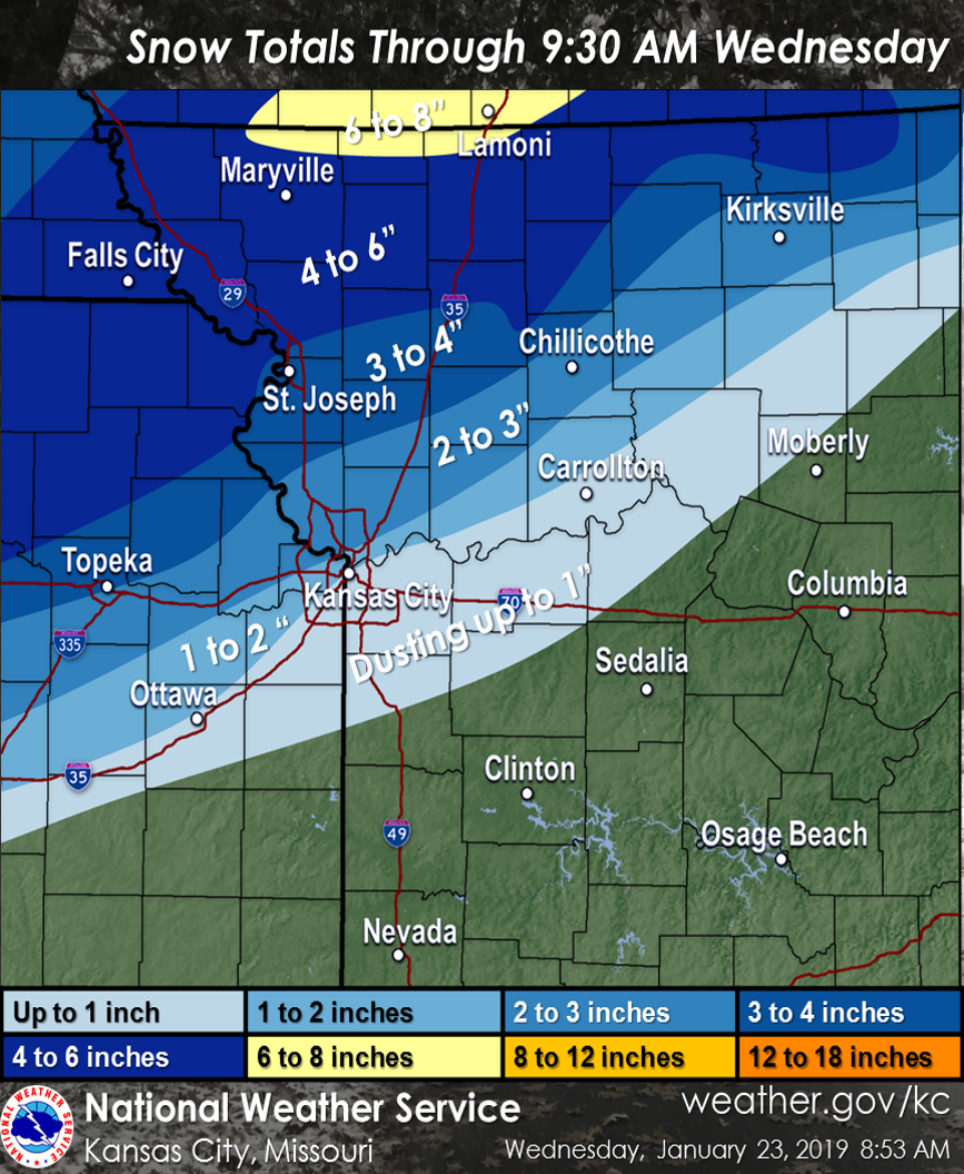 Snow Totals Reported To the Office Wednesday Morning |
 |
 |
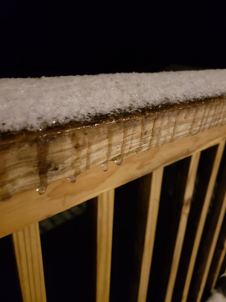 |
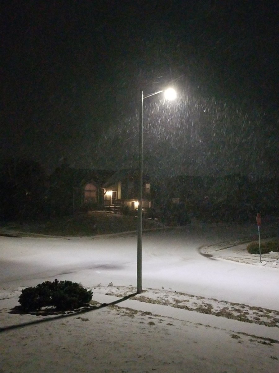
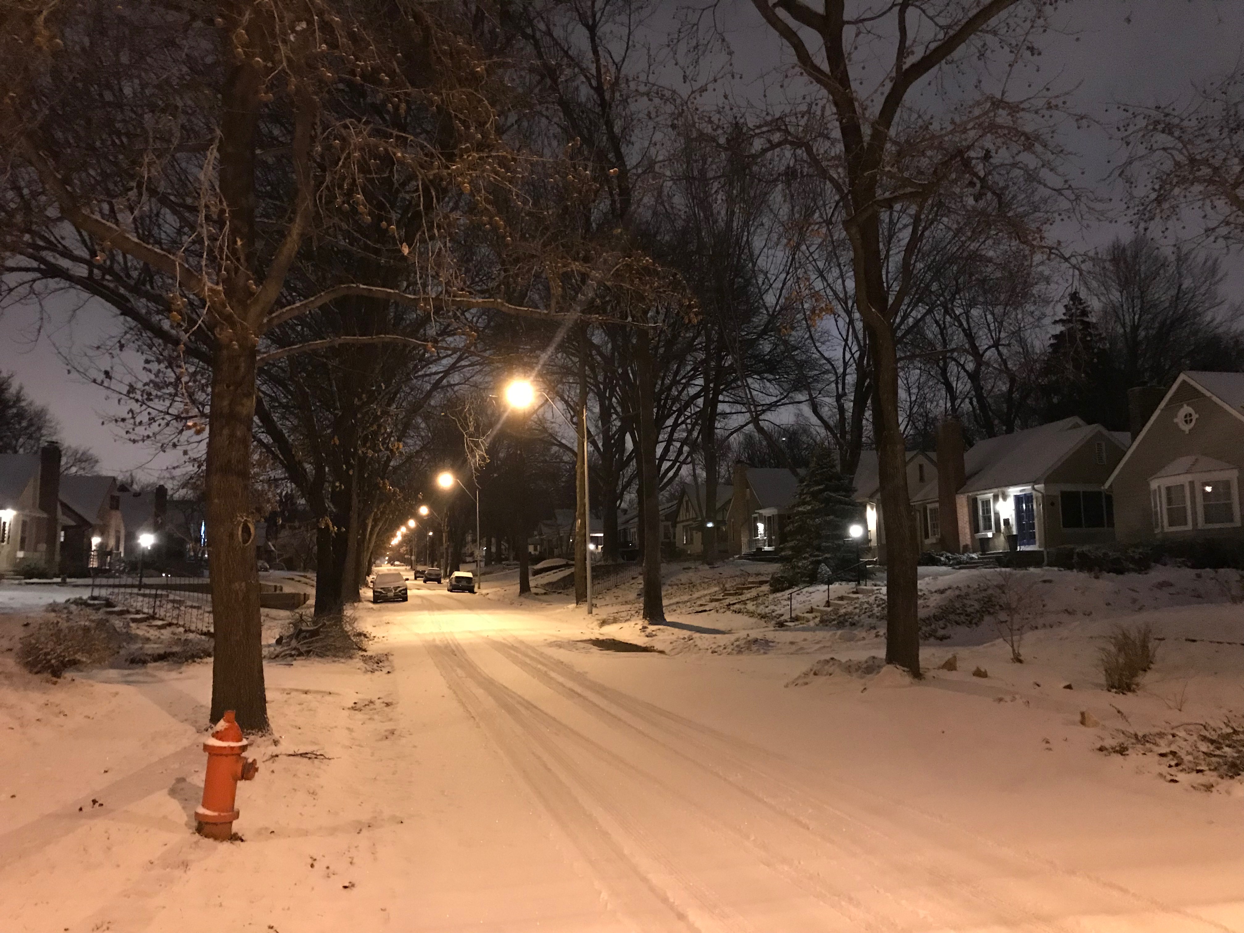
| Snow in Gardner, KS Tuesday Night (Photo: @ChrisGeorgeKC) | Snow covered streets in Brookside (KCMO) (Photo: NWS Employee) | Snow covering Ice north of Platte City, MO (Photo: NWS Employee) |
 |
Media use of NWS Web News Stories is encouraged! Please acknowledge the NWS as the source of any news information accessed from this site. |
|
Hazards
Decision Support
Situation Report
Local Weather Story
Submit Report
Storm Prediction Center
Weather Prediction Center
National Hurricane Center
Active Alerts
National Radar
Current Weather
Local Radar
Local Precipitation/Temperature
National Radar
Satellite
Observations
Observed Precipitation
Water and Air
National Rivers
Local Rivers
Air Quality
Missouri Basin RFC
Forecasts
Decision Support
Weather Story
Forecast Discussion
Local Fire Weather
National Fire Weather
Aviation Weather
FAA Center Weather
Graphical Forecasts
Weather Prediction Center
Space Weather Center
Climate
Climate Prediction Center
KC Records and Normals
KC Holiday Climate
KC Seasonal Rankings
National Climate Services
Climate Data Center
Drought
Local Storm Reports

US Dept of Commerce
National Oceanic and Atmospheric Administration
National Weather Service
Kansas City/Pleasant Hill, MO
1803 North 7 Highway
Pleasant Hill, MO 64080-9421
816-540-6132 (6021 automated weather)
Comments? Questions? Please Contact Us.


 Weather Story
 Weather Map
 Local Radar
 Follow us on X
 Follow us on Facebook
 Follow us on YouTube
 EAX RSS Feed