
Tropical Storm Isaias is forecast to track toward the central Gulf Coast while strengthening into a hurricane on Thursday. There is an increasing risk of damaging hurricane-force winds and life-threatening storm surge impacts along portions of the northern Gulf Coast Friday into Saturday. Isaias will bring heavy rainfall to the central Gulf Coast and much of the Southeast Friday into the weekend. Read More >
Overview
|
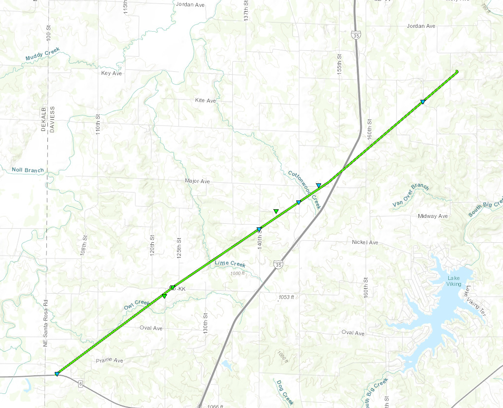
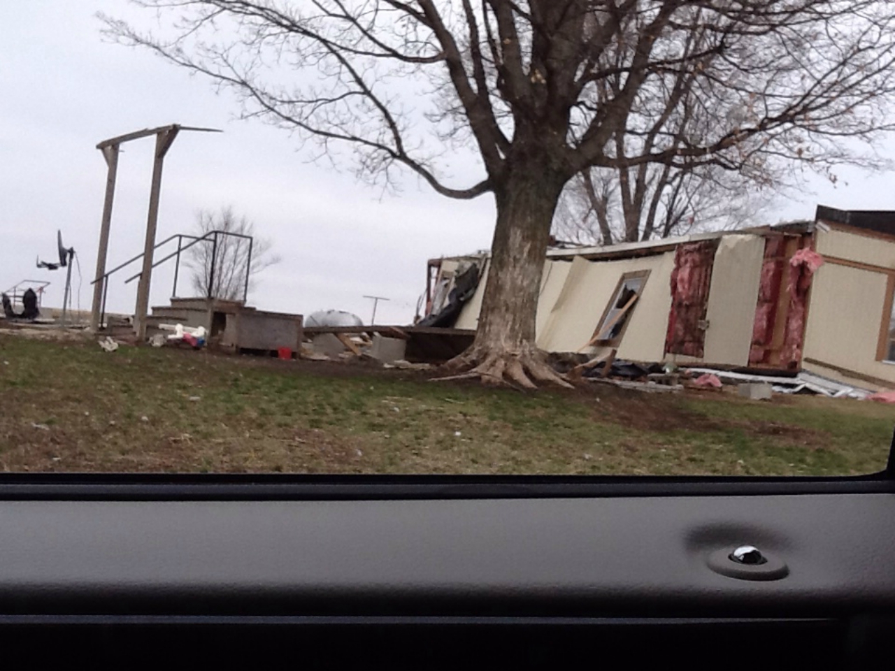
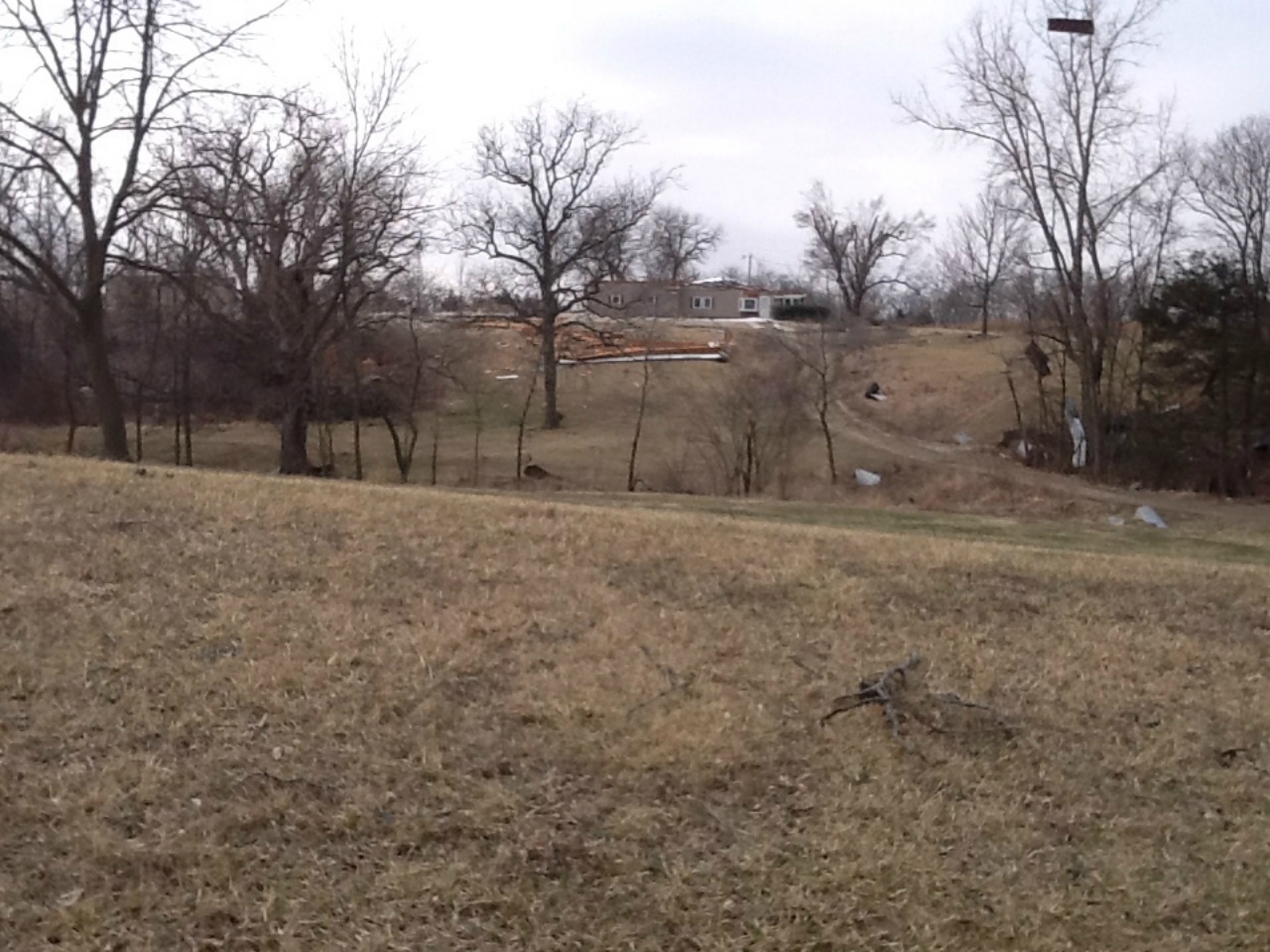
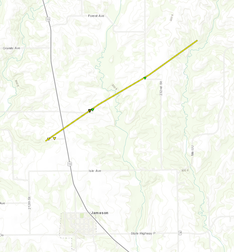
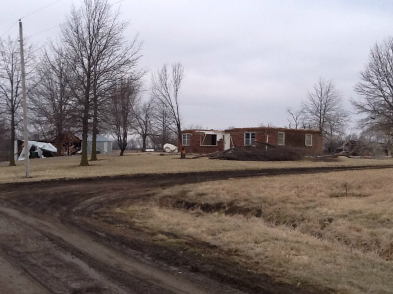
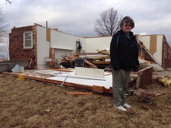
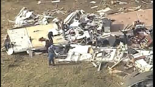
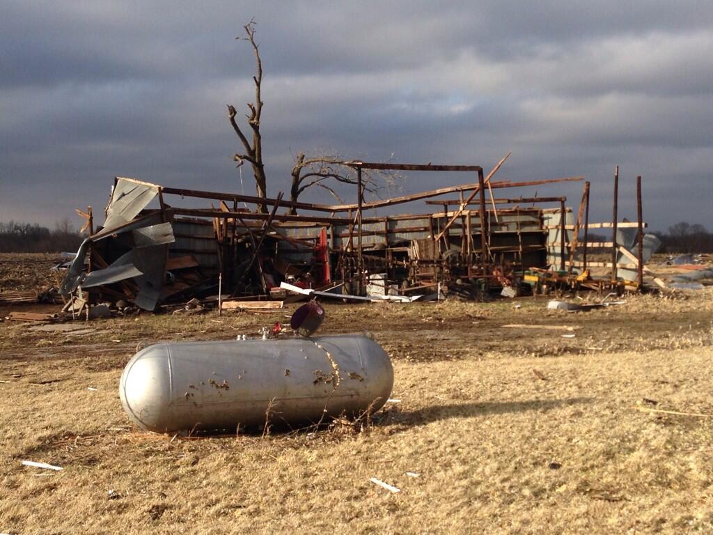
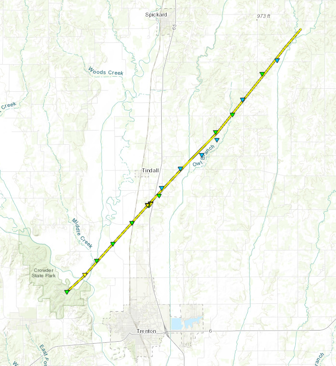
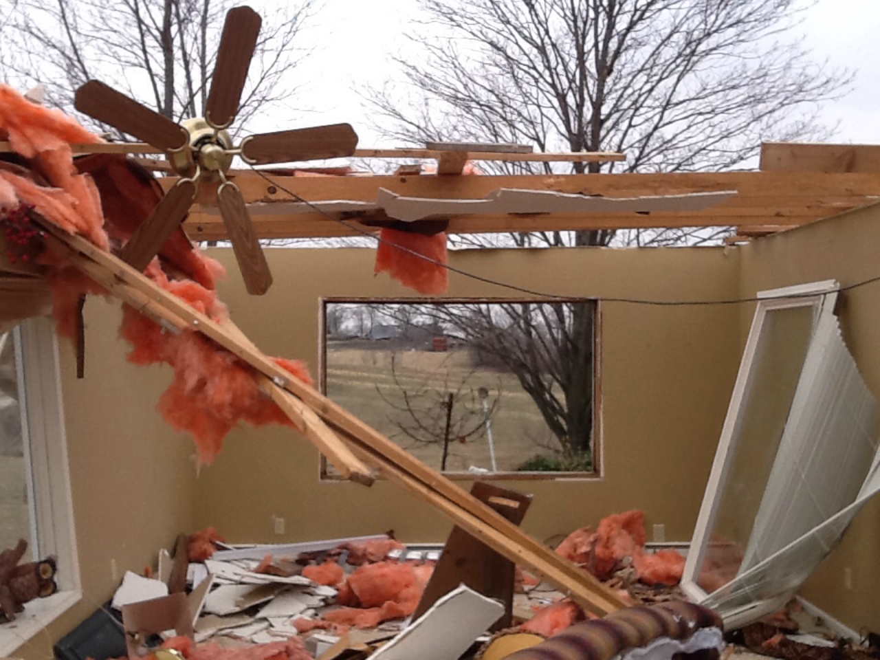
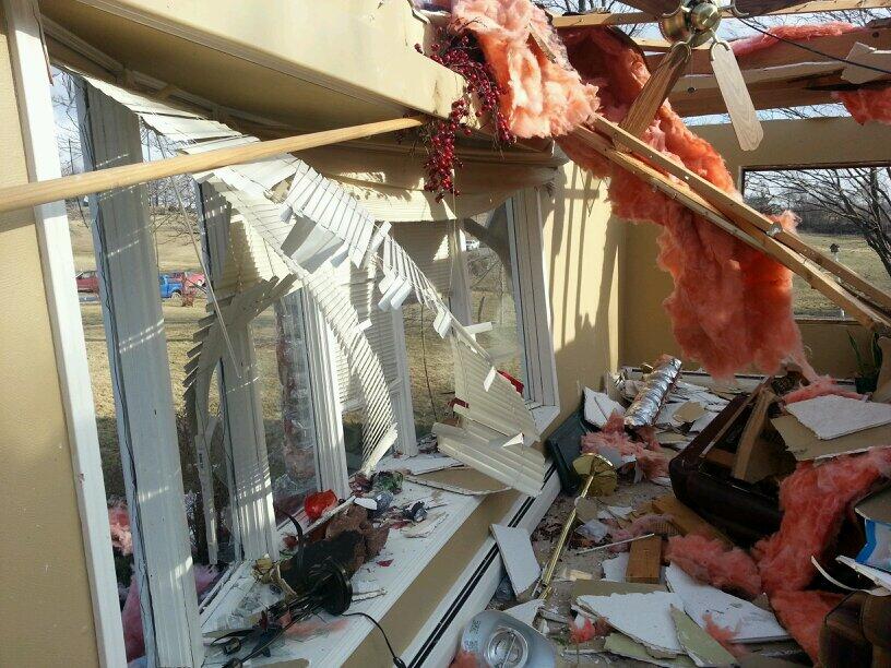
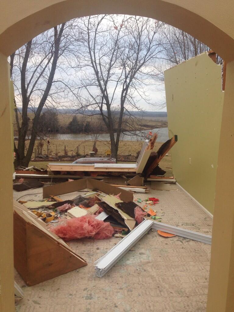
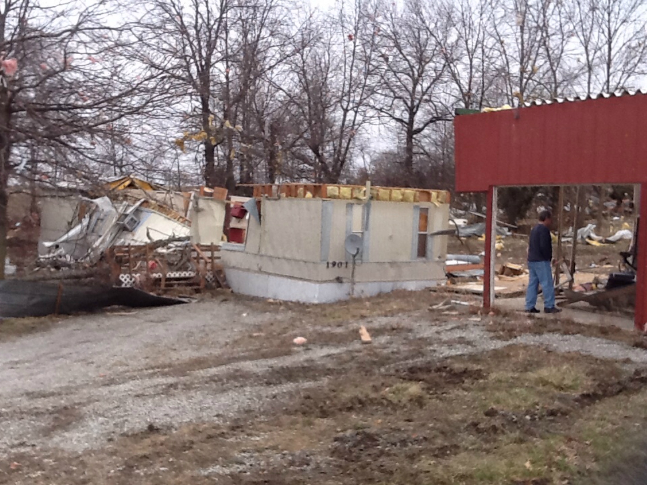
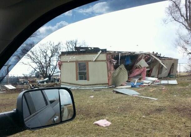
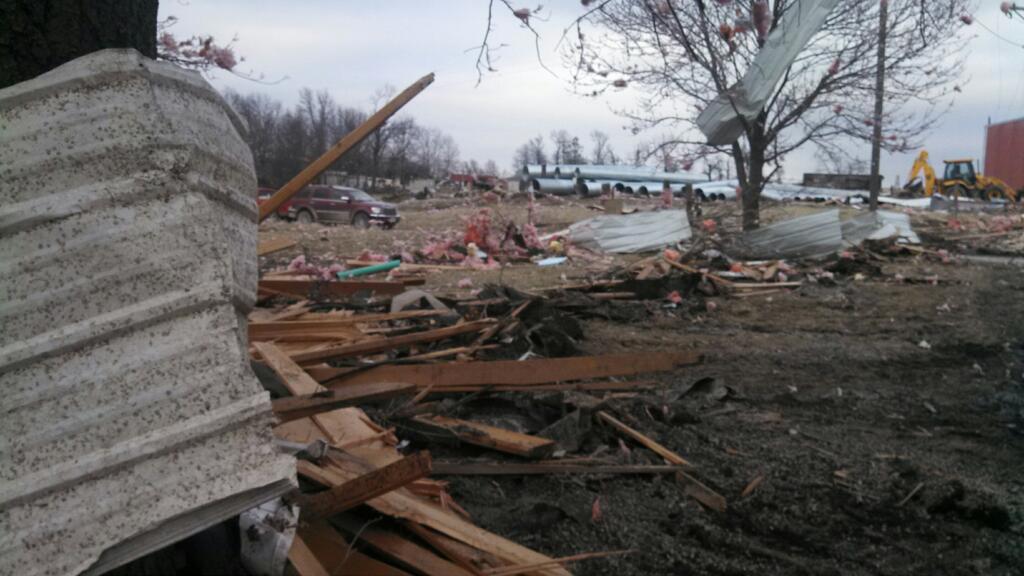
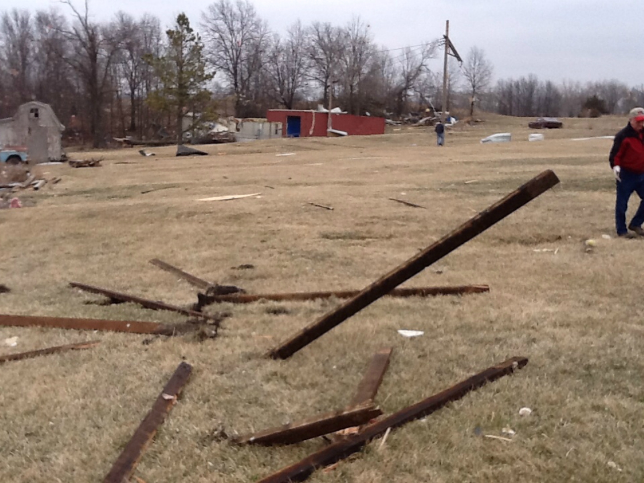
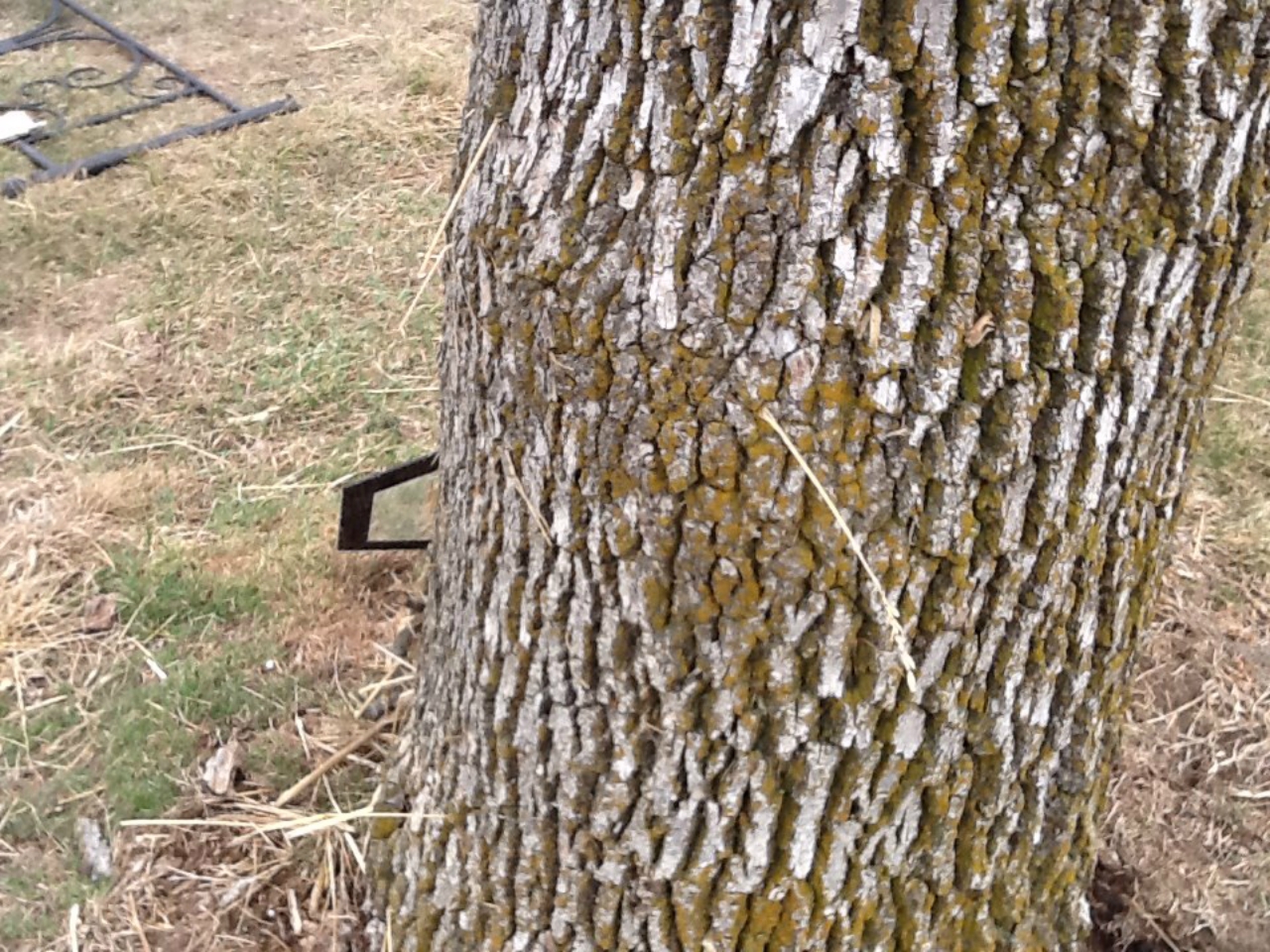
An early spring severe weather system moved through far eastern Kansas and western Missouri causing several supercell thunderstorms to produce large hail up to 2 inches in diameter across the Kansas City Metro area. Farther to the north, across Daviess and Grudy Counties several tornadoes were reported. Several structures sustained heavy damage in and around the Jameson area. As the storm continued to the northeast it produced one more tornado that caused damage to several residences and structures in and around Tindall. |
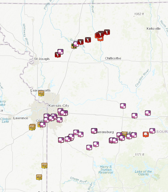 Distribution of severe weather reports from March 27, 2014. |
Tornadoes:
|
Western Daviess County Tornado
|
||||||||||||||||
|
||||||||||||||||
|
Jameson Tornado
|
||||||||||||||||
|
||||||||||||||||
|
Trenton to Tindall Tornado
|
||||||||||||||||
|
||||||||||||||||
The Enhanced Fujita (EF) Scale classifies tornadoes into the following categories:
| EF0 Weak 65-85 mph |
EF1 Moderate 86-110 mph |
EF2 Significant 111-135 mph |
EF3 Severe 136-165 mph |
EF4 Extreme 166-200 mph |
EF5 Catastrophic 200+ mph |
 |
|||||
Hail:
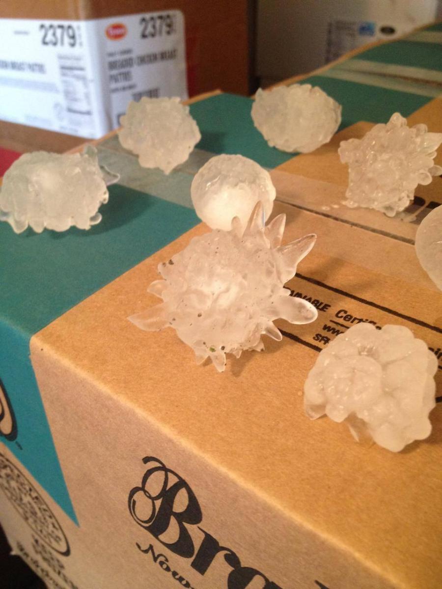
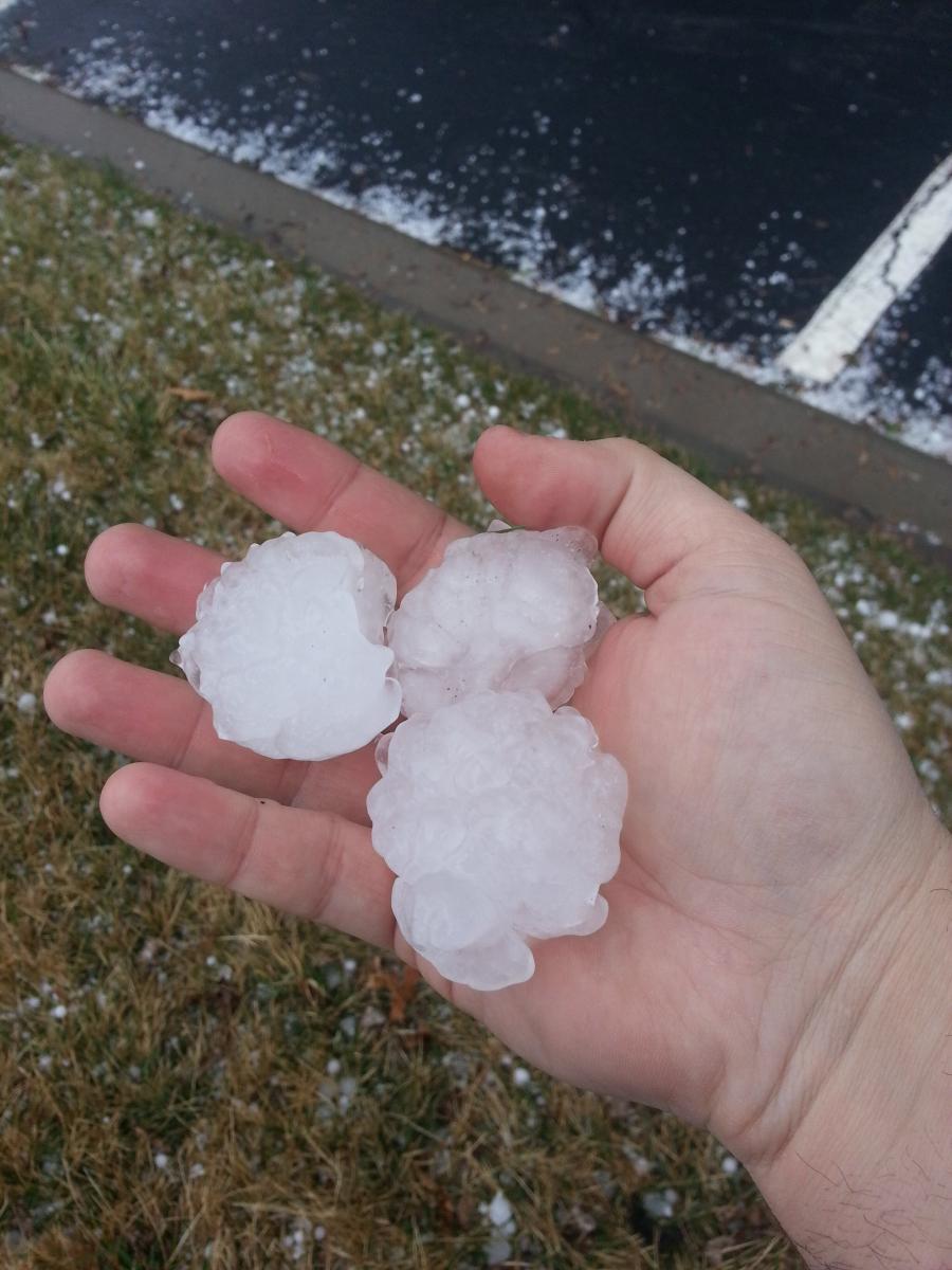
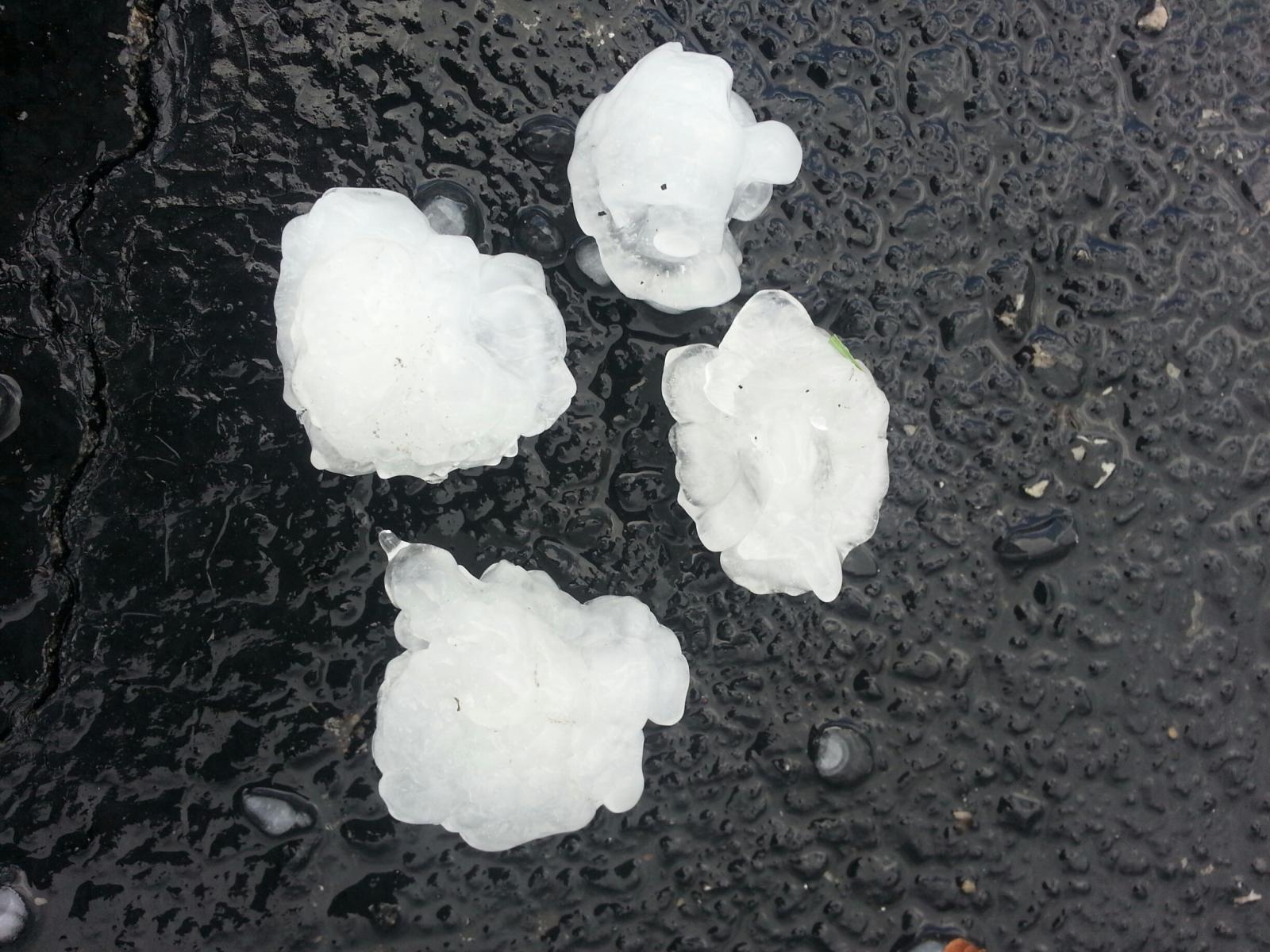
A few of these storms produced very large hail ranging in size from 1 inch to 2 inches. The largest of these hail stones reported to the office fell in the Grandview Triangle area along I-435 on the southern half of Kansas City. Numerous other areas, both within and outside of the Kansas City metro received large 1 to 2 inch hail.
 |
 |
 |
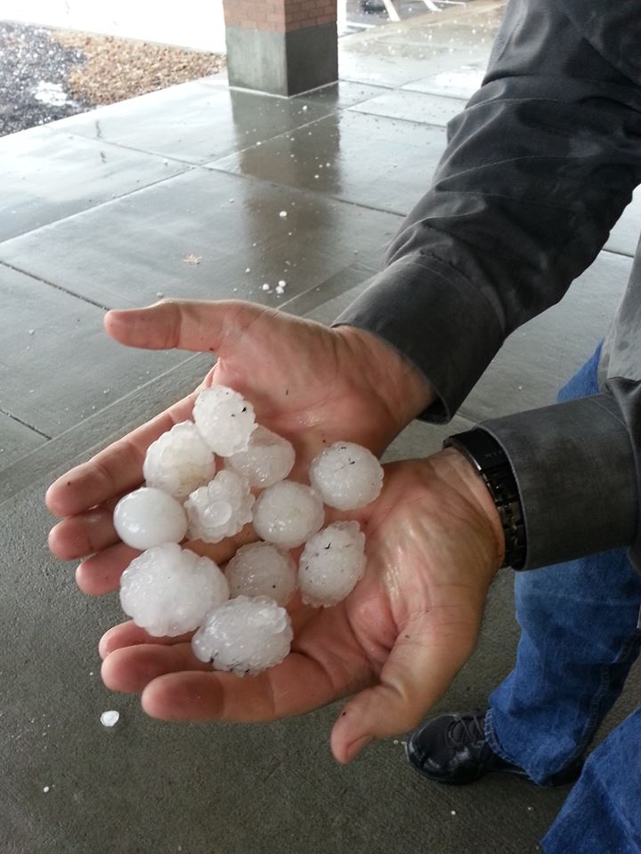 |
| 2 inch hail fell in the Grandview Triangle area. | Golfball sized hail (1.50"-2.00") fell in the Lee's Summit area. | Golfball sized hail (1.50"-2.00") fell in the Lee's Summit area. | Golfball sized hail (1.50"-2.00") fell in the Lee's Summit area. |
 |
Media use of NWS Web News Stories is encouraged! Please acknowledge the NWS as the source of any news information accessed from this site. |
|




 Weather Story
 Weather Map
 Local Radar
 Follow us on X
 Follow us on Facebook
 Follow us on YouTube
 EAX RSS Feed