Heavy Rainfall Threat Continues in the Southwest on Monday; Record Warmth in the Plains and Midwest
Remnant moisture from Tropical Storm Rachel will persist over portions of the Great Basin and Southwest on Monday, bringing a potential heavy to excessive rainfall risk. Well above average and potentially record breaking temperatures will develop across the Plains and Midwest early this week, spreading into the Lower Mississippi Valley and Southeast midweek.
Read More >
LOADING...
Kansas City/Pleasant Hill, MO
Weather Forecast Office
October 24, 2021 Tornadoes (EF-2 Purdin, Missouri)
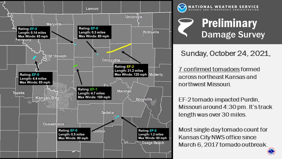
An unseasonably warm and moist airmass moved into the area on the afternoon of October 24, 2021. This airmass fueled severe storms that produced seven tornadoes across the region between 2:00 pm and 6:00 pm.
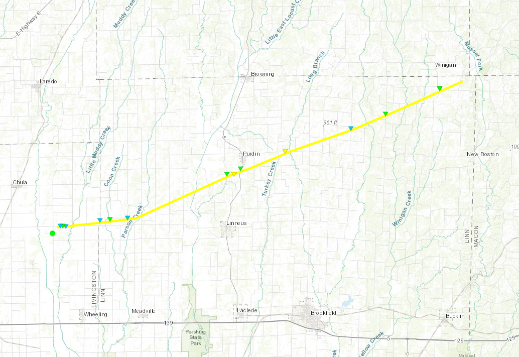
The first tornado occurred just after 2:00 pm in Doniphan County, and while it was well photographed it did not produce significant damage. As the storms moved east they produced tornadoes. The most significant of the tornadoes on October 24 formed just northeast of Chillicothe, and moved northeastward into Linn County (MO). The tornado became very large, and produced some EF-2 damage near the city of Purdin, Missouri. This tornado had a track length that exceeded 30 miles, and was on the ground for roughly 45 to 50 minutes.
The best news of all was that there were no significant injuries or fatalities associated with these storms.
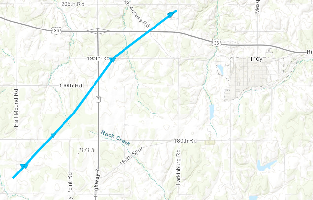
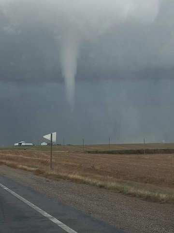
This tornado developed west of Kansas Highway 7 tracking NE across Doniphan County, KS before dissipating across US36 northwest of Troy, KS.
Track Map
Tornado photographed near K-7 and 195th Rd. (Emergency Management)
EF-0 Tornado Damage in Doniphan County, KS. (Emergency Management)
Tree fallen upon truck, Doniphan County, KS. (Emergency Management)
Tornado - Turney, MO Clinton and Caldwell Counties, MO
Date
10/24/21
Time (Local)
3:27 PM
EF Rating
EF-1
Est. Peak Winds
100 MPH
Path Length
4.7 Miles
Max Width
40 Yards
Injuries/Deaths
0/0
Summary:
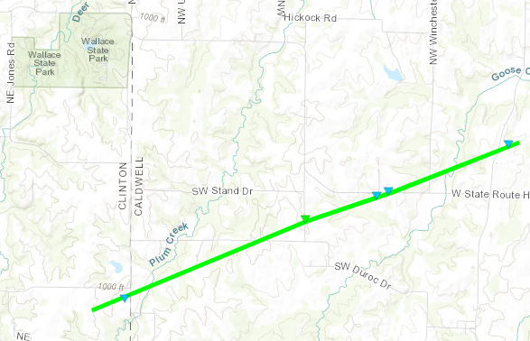
This tornado developed just east of Interstate 35 in Clinton County, MO. It quickly crossed into Caldwell County, MO where it damaged several trees and a few buildings. The tornado dissipated just east of Goose Creek and State Route D.
Track Map
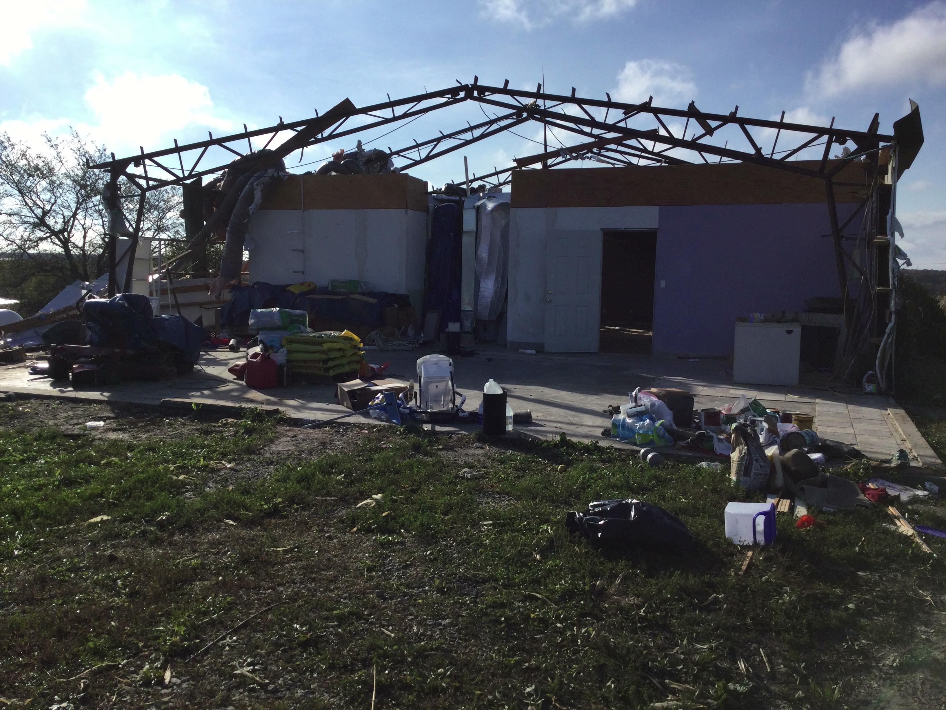
EF-1 tornado damage to a structure in Caldwell County, MO (NWS Survey)
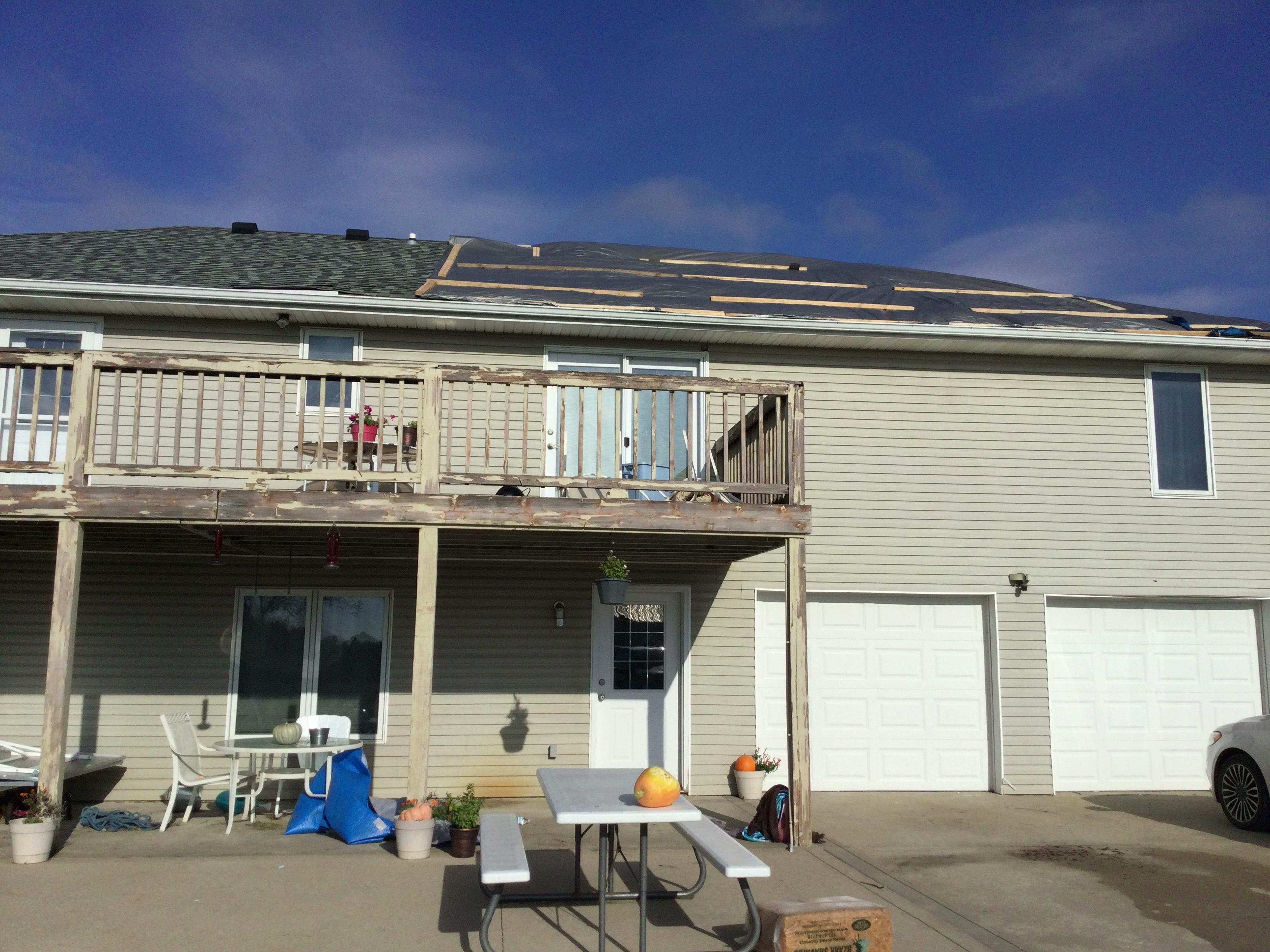
EF-0 tornado damage to a home (NWS Survey)
Tornado - Pattonsburg, MO Daviess County, MO
Date
10/24/2021
Time (Local)
3:36 PM
EF Rating
EF-0
Est. Peak Winds
85 MPH
Path Length
0.138 Miles
Max Width
20 Yards
Injuries/Deaths
0/0
Summary:
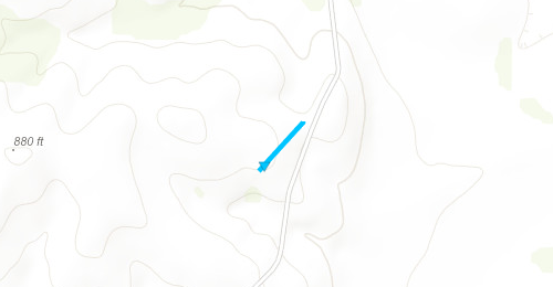
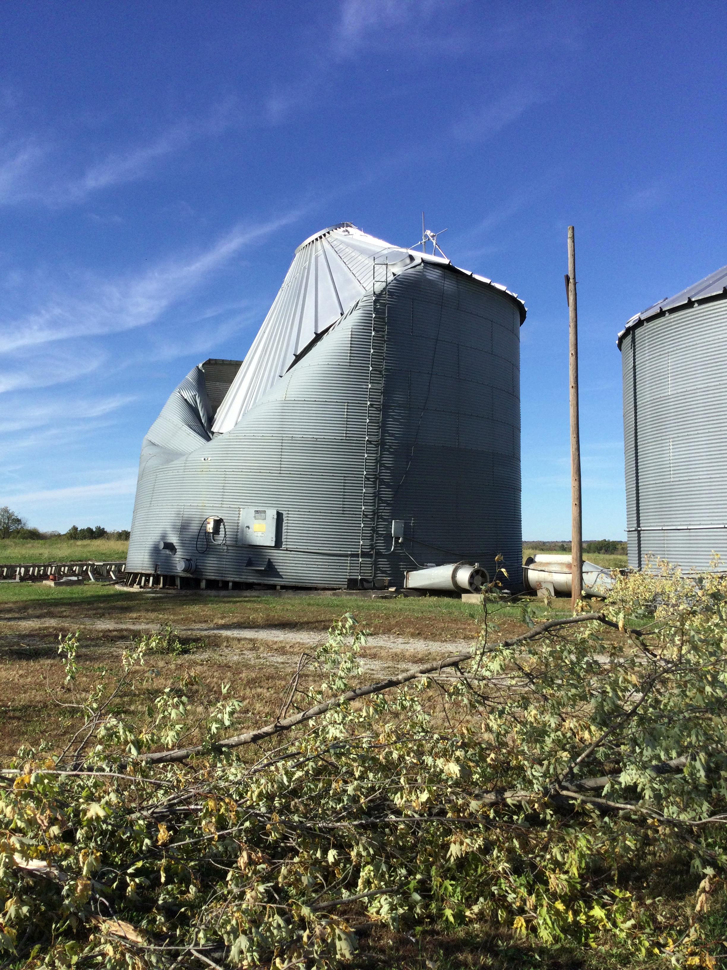
This brief tornado developed SW of Pattonsburg and damaged a farm silo and some outbuildings.
Track Map
EF-0 tornado damage to farm equipment near Pattonsburg, MO (NWS Survey)
EF-0 tornado damage to silo near Pattonsburg, MO (NWS Survey)
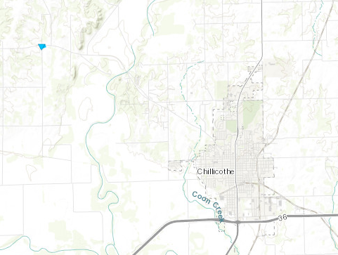
Tornado - Chillicothe, MO Livingston County, MO
Date
10/24/21
Time (Local)
4:16 PM
EF Rating
EF-0
Est. Peak Winds
80 MPH
Path Length
0.2 Miles
Max Width
25 Yards
Injuries/Deaths
0/0
Summary:
A brief tornado developed NW of Chillicothe damaging an outbuilding and a few trees.
Track Map
EF-0 tornado damage to a metal outbuilding northwest of Chillicothe, MO. (NWS Survey)
Tornado - Purdin, MO Linn County, MO
Date
10/24/21
Time (Local)
4:31 PM
EF Rating
EF-2
Est. Peak Winds
120 MPH
Path Length
31.5 Miles
Max Width
150 Yards
Injuries/Deaths
0/0
Summary:
This tornado developed along 216th St/State Highway B in Linn County, MO. It quickly intensified into an EF-1 before strengthening into an EF-2 as it passed just south of Purdin, MO. Several tree, buildings, and vehicles were damaged. The tornado dissipated after travelling 31 miles east of 11 Highway.
Video taken of the Purdin Tornado
Track Map
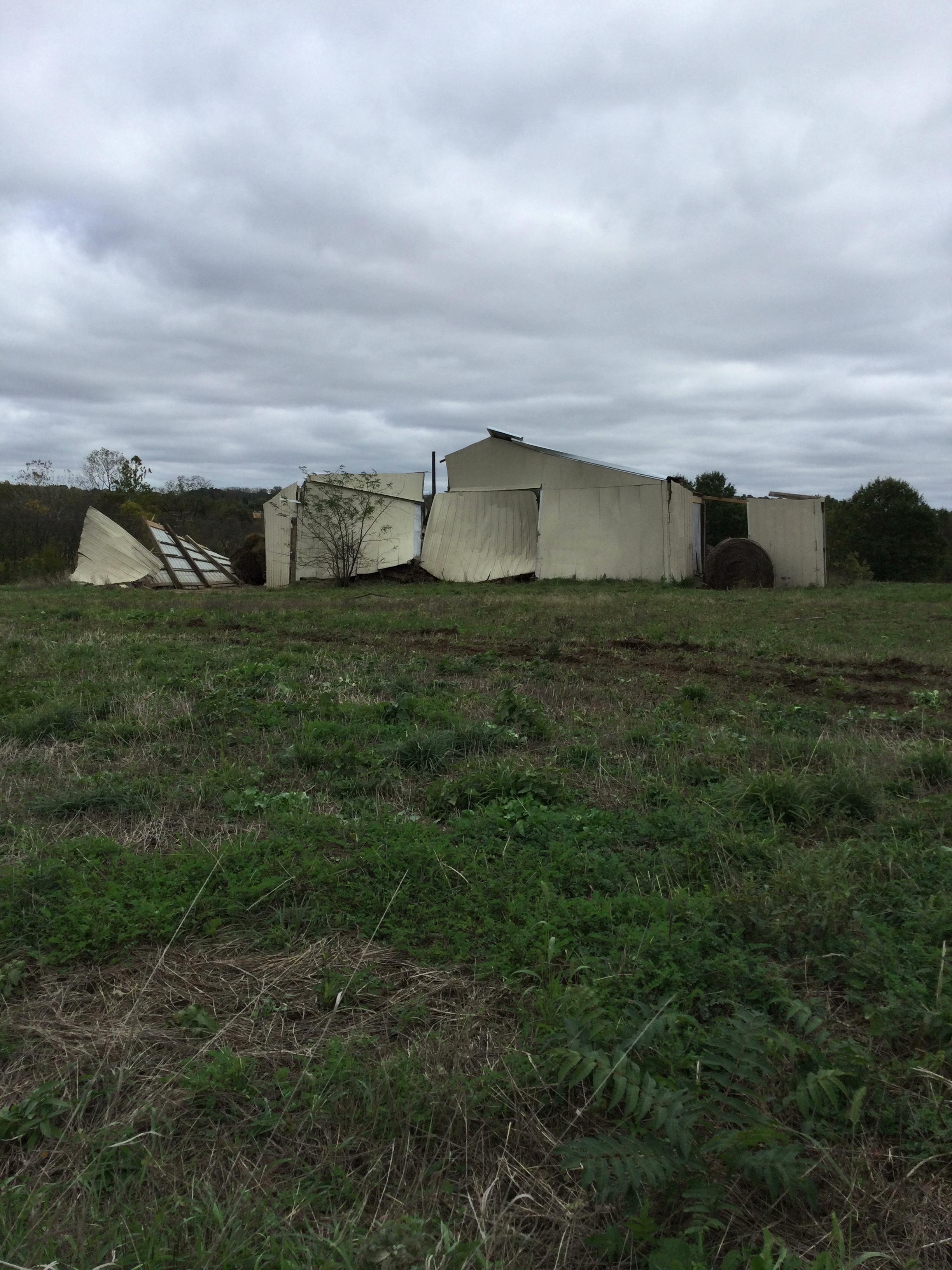
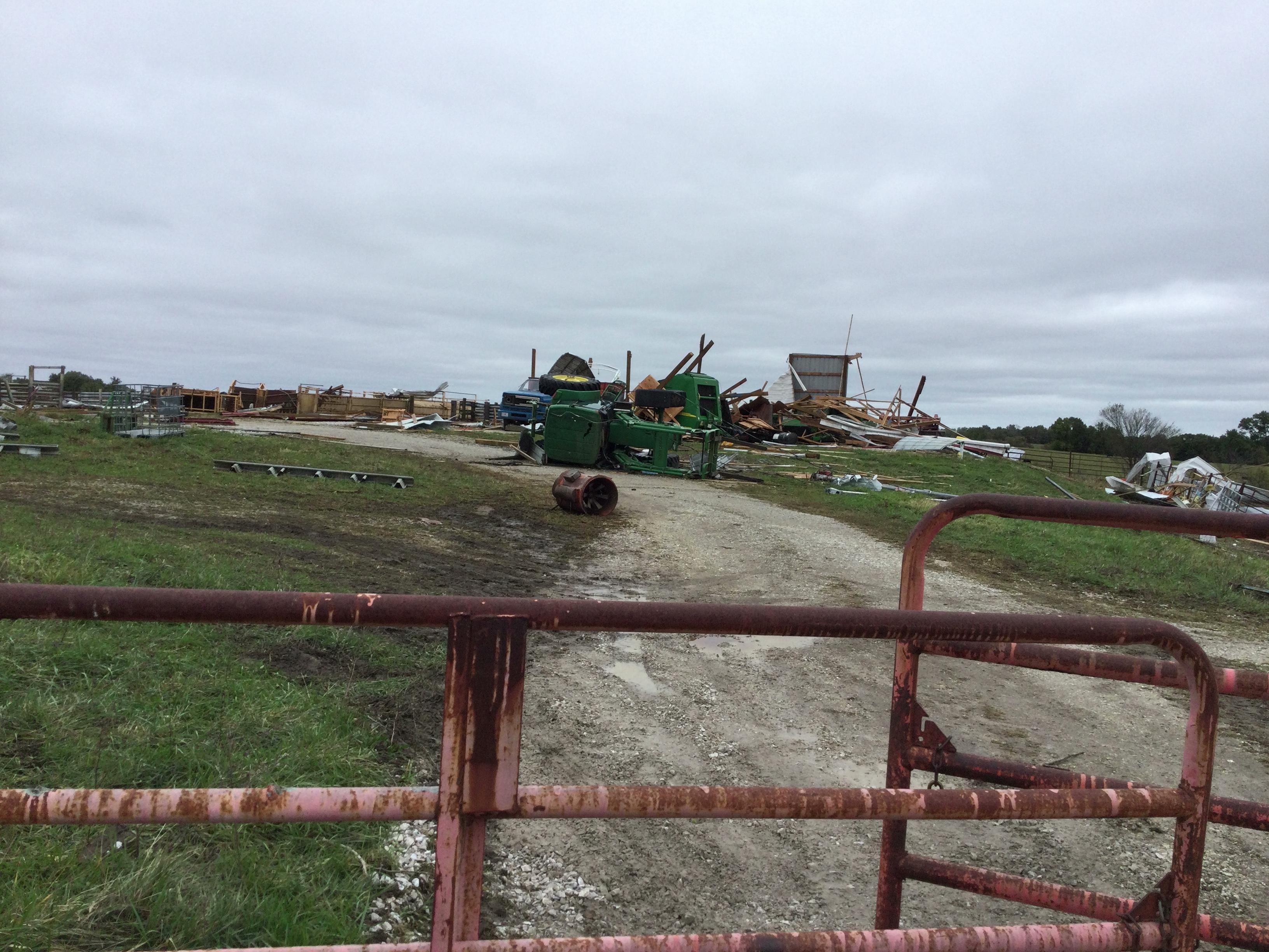
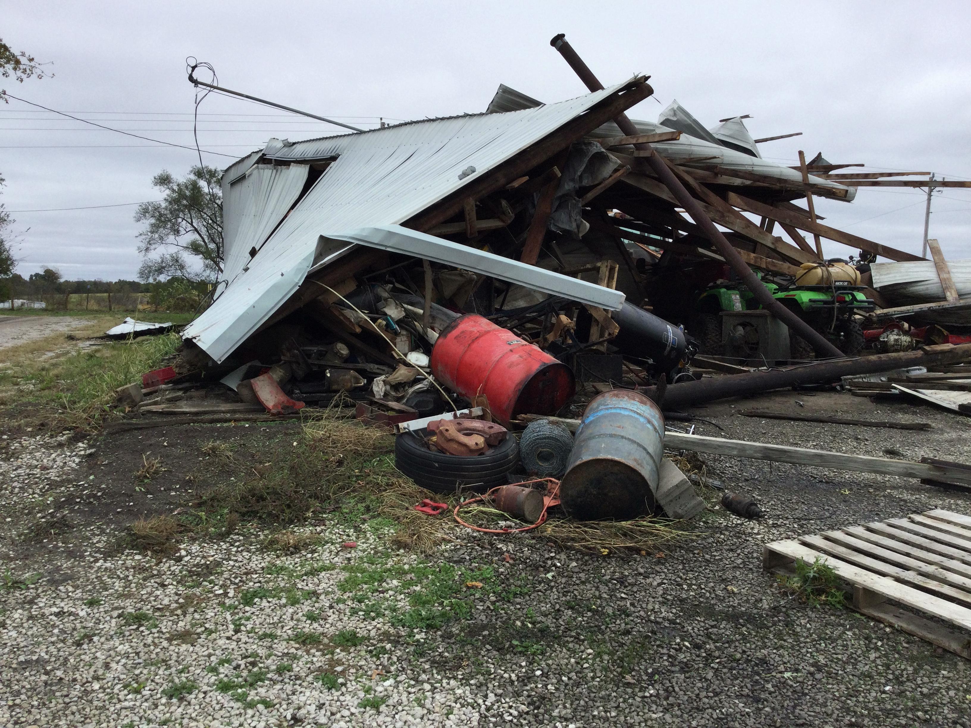
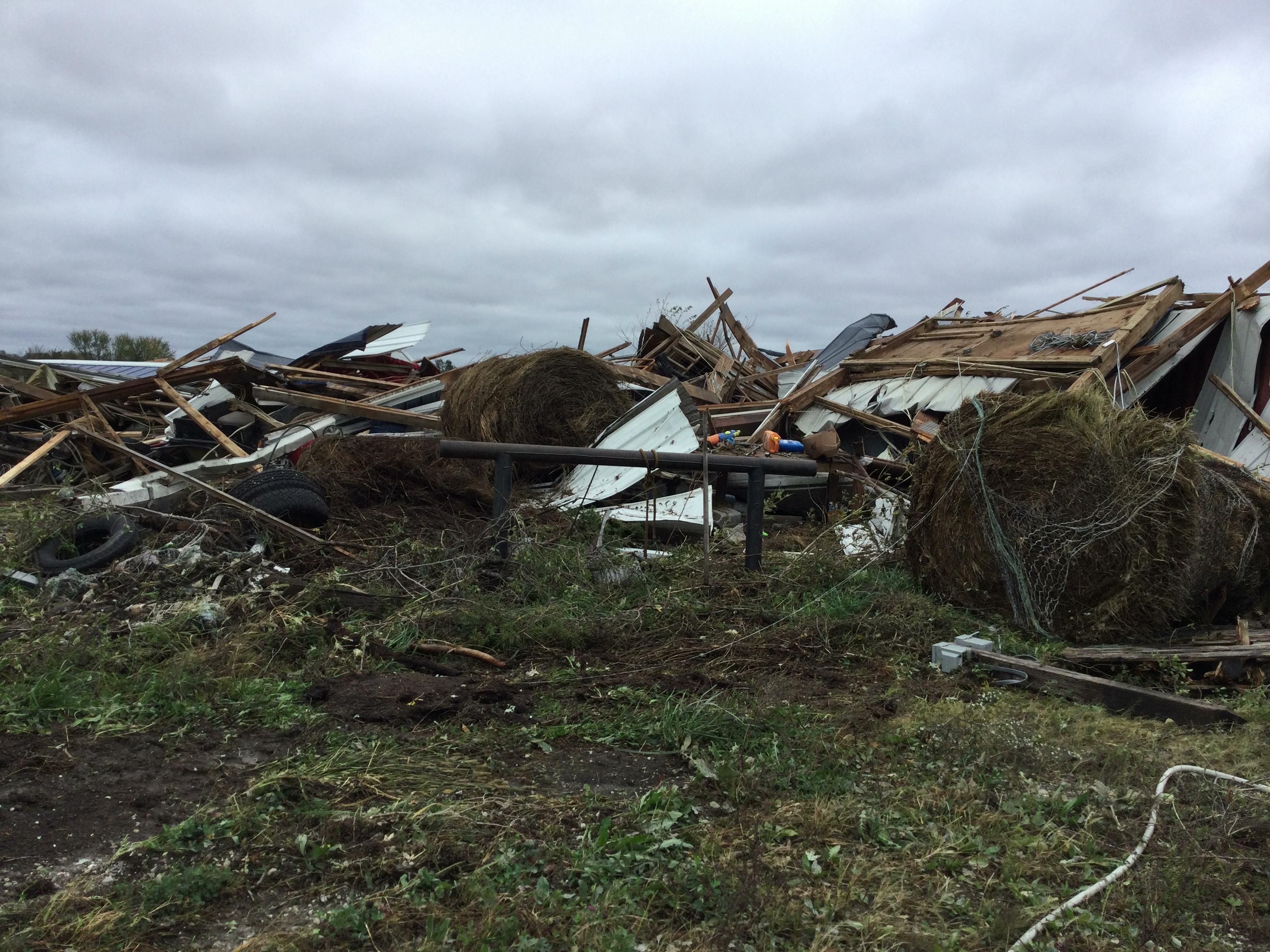
EF-2 Damage to a shed and farm equipment near Purdin, MO. (NWS Survey)
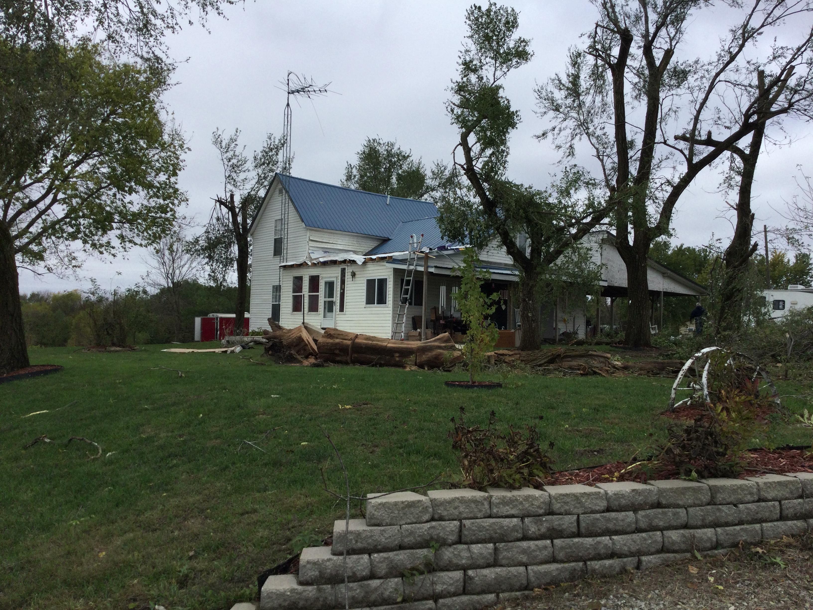
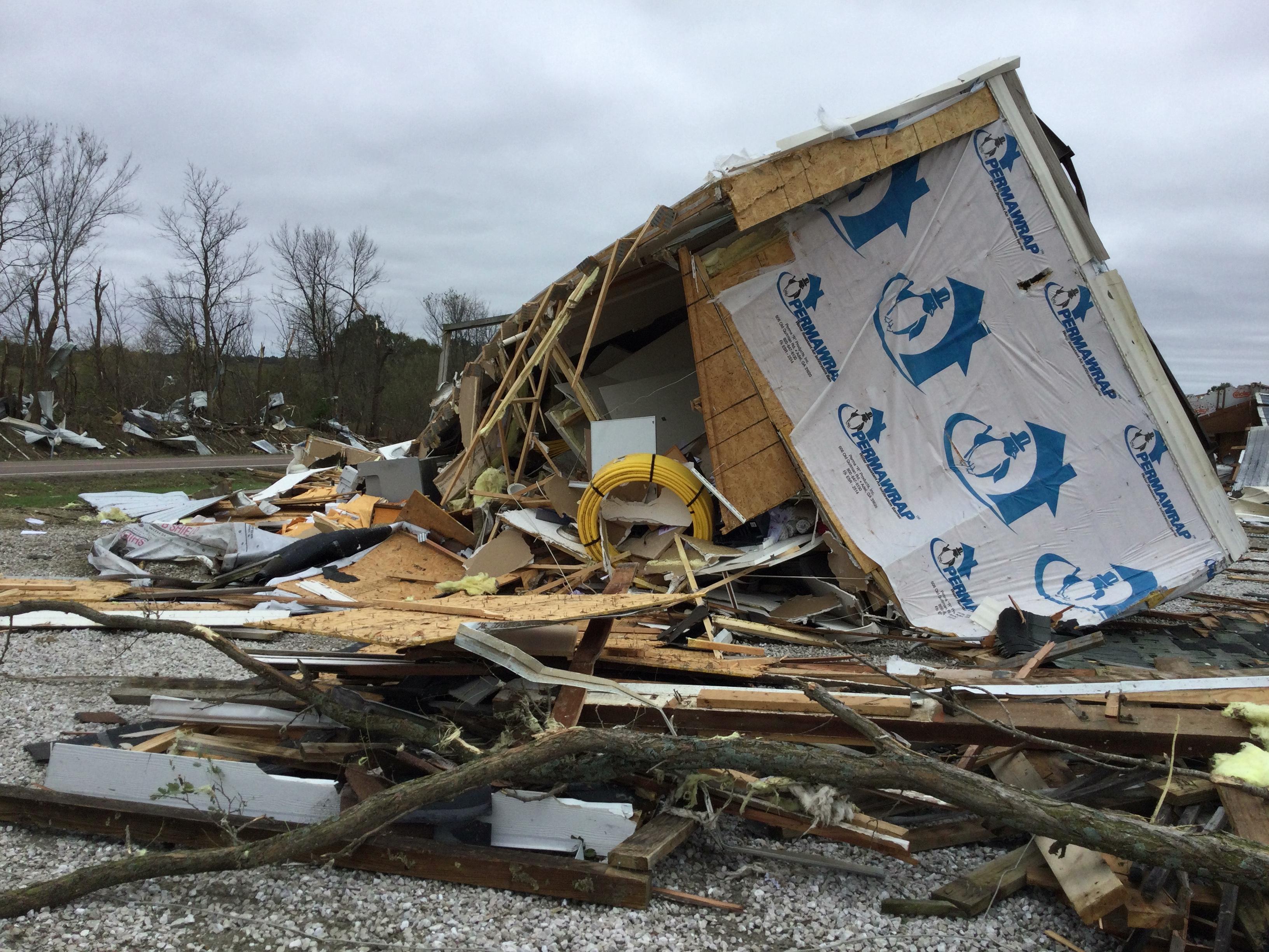
Damage to a home near Purdin, MO. (NWS Survey)
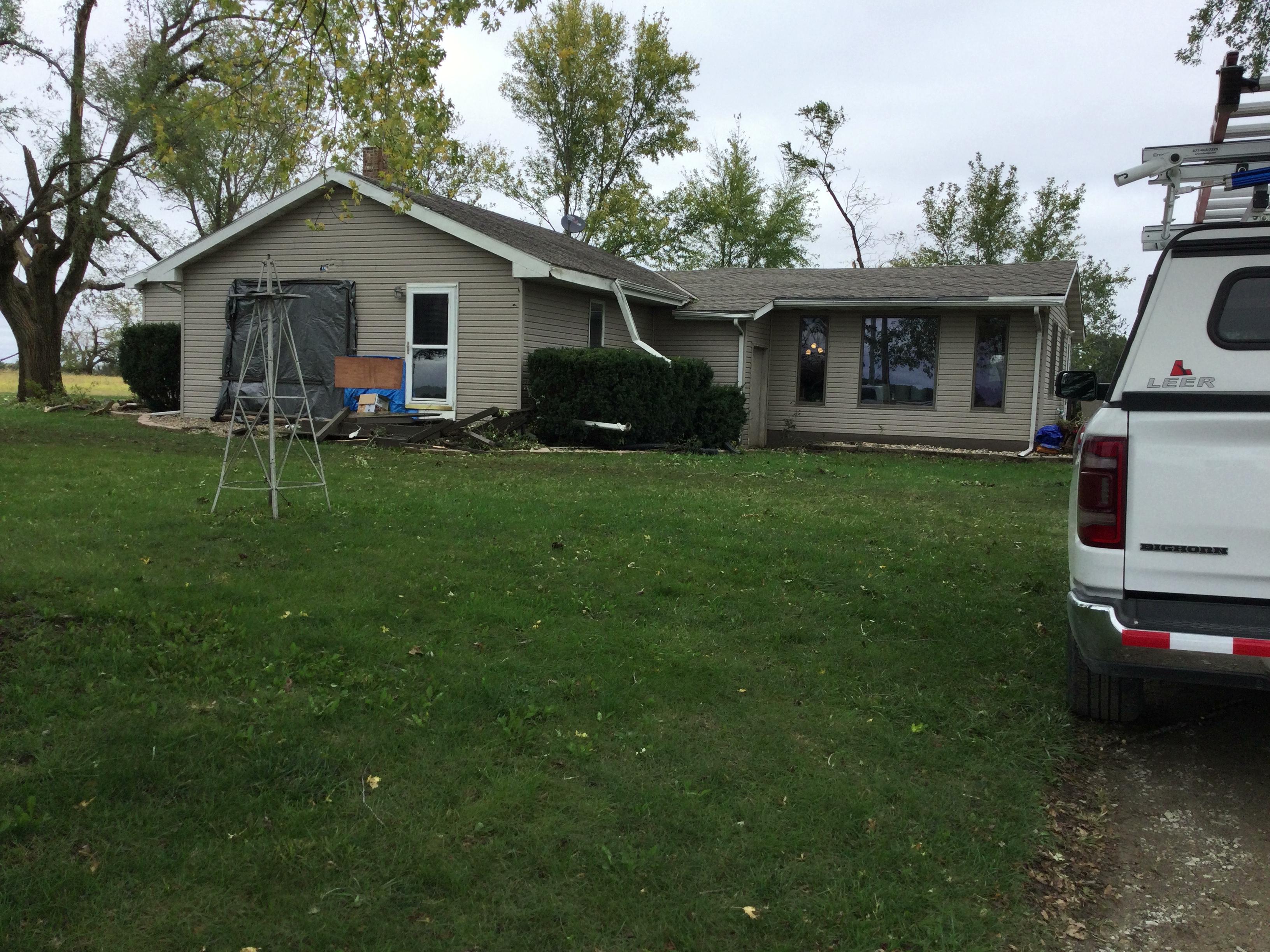
EF-0 Damage to home near Purdin, MO. (NWS Survey)
Damage to a metal outbuilding near Purdin, MO. (NWS Survey)
Damage to office trailer near Purdin, MO (NWS Survey)
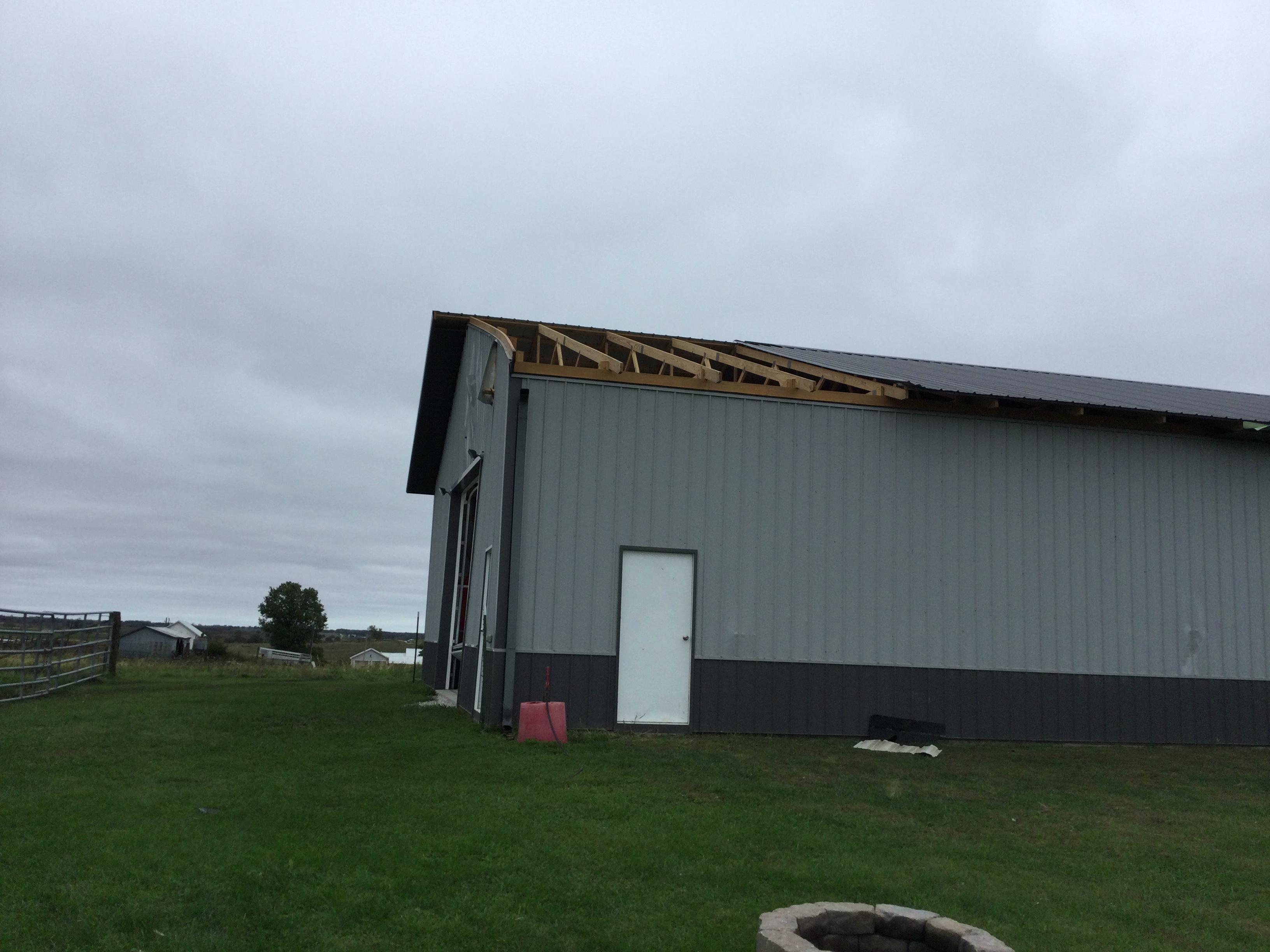
EF-0 damage to shed roof near Purdin, MO. (NWS Survey)
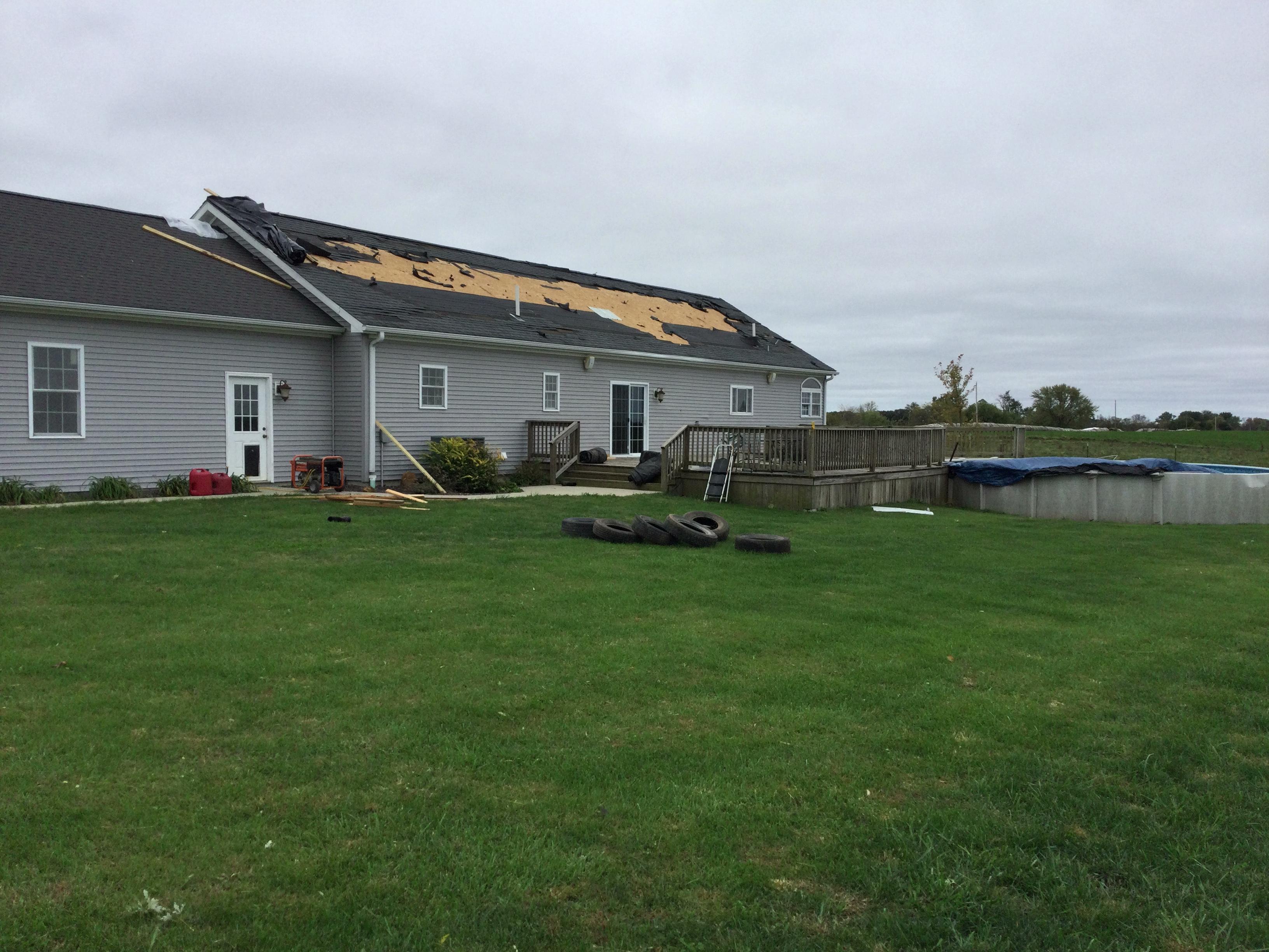
EF-0 damage to roof on residence near Purdin, MO. (NWS Survey)
Damage near Purdin, MO. (NWS Survey)
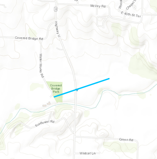
Tornado - Sedalia, MO Pettis County, MO
Date
10/24/21
Time (Local)
4:57 PM
EF Rating
EF-0
Est. Peak Winds
80 MPH
Path Length
0.47 Miles
Max Width
50 Yards
Injuries/Deaths
0/0
Summary:
A brief tornado formed around Covered Bridge Park before crossing State Highway U then quickly dissipating.
Track Map
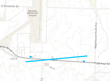
Tornado - Sedalia, MO Pettis County, MO
Date
10/24/21
Time (Local)
4:59 PM
EF Rating
EF-0
Est. Peak Winds
80 MPH
Path Length
1.22 Miles
Max Width
50 Yards
Injuries/Deaths
0/0
Summary:
A brief tornado formed just south of the Sedalia airport. The tornado tracked along/across US50 dissipating a little over 1 miles later.
Track Map
The Enhanced Fujita (EF) Scale classifies tornadoes into the following categories:
EF0
Weak
65-85 mph
EF1 Moderate
86-110 mph
EF2 Significant
111-135 mph
EF3 Severe
136-165 mph
EF4 Extreme
166-200 mph
EF5 Catastrophic
200+ mph
Media use of NWS Web News Stories is encouraged!
Please acknowledge the NWS as the source of any news information accessed from this site.







.jpg)
.jpg)

 Weather Story
 Weather Map
 Local Radar
 Follow us on X
 Follow us on Facebook
 Follow us on YouTube
 EAX RSS Feed