
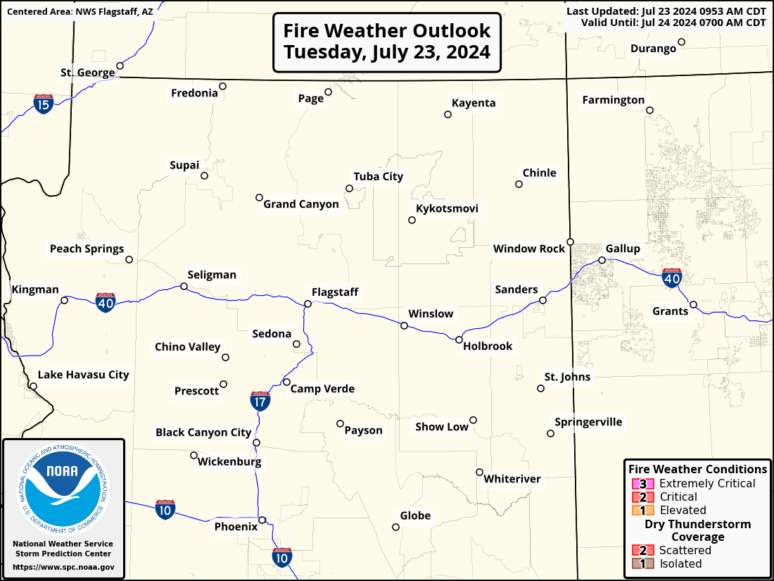
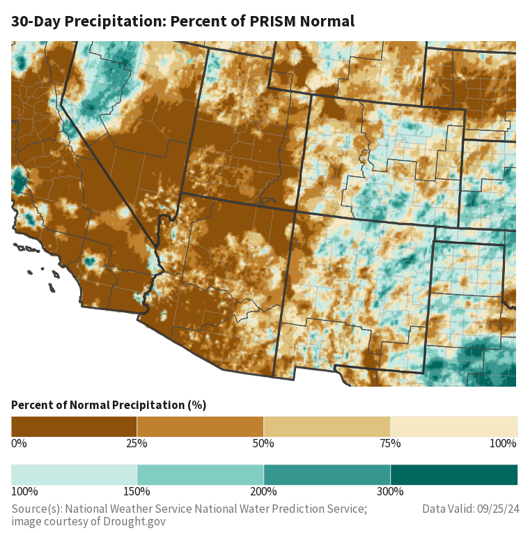
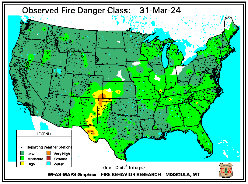
Flash flooding threatens areas from the Tennessee Valley to the Carolinas as storms repeat along a stalled front. Monsoonal storms may trigger flooding in the Southwest. Dangerous heat expands across the Desert Southwest, Plains, mid-Mississippi Valley and Southern Tier. Critical fire weather for interior Pacific Northwest. Cooler, drier air brings brief relief to the Great Lakes and Northeast. Read More >
|
|

|
|

|

|

|
|
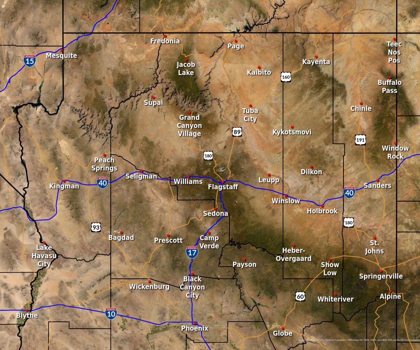
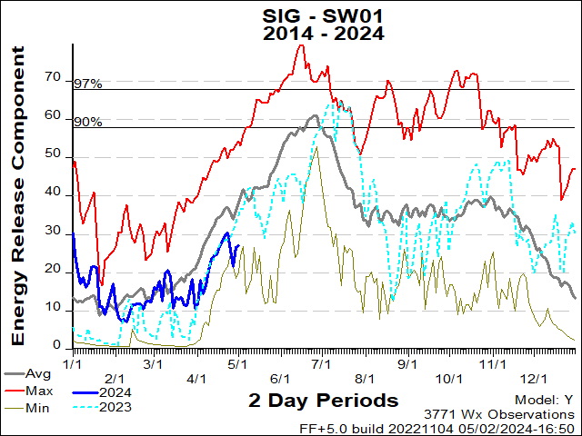
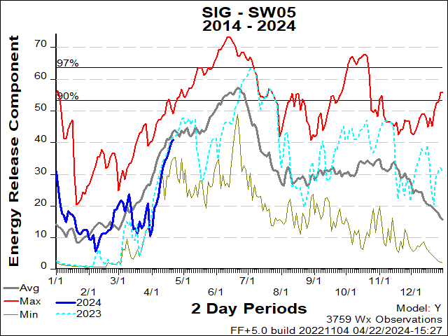
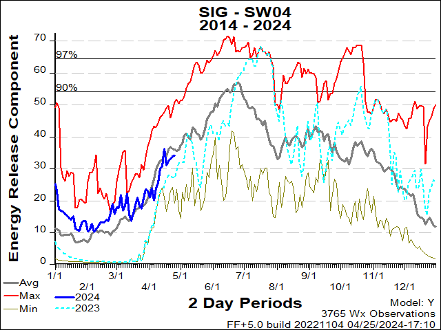
Northern Arizona
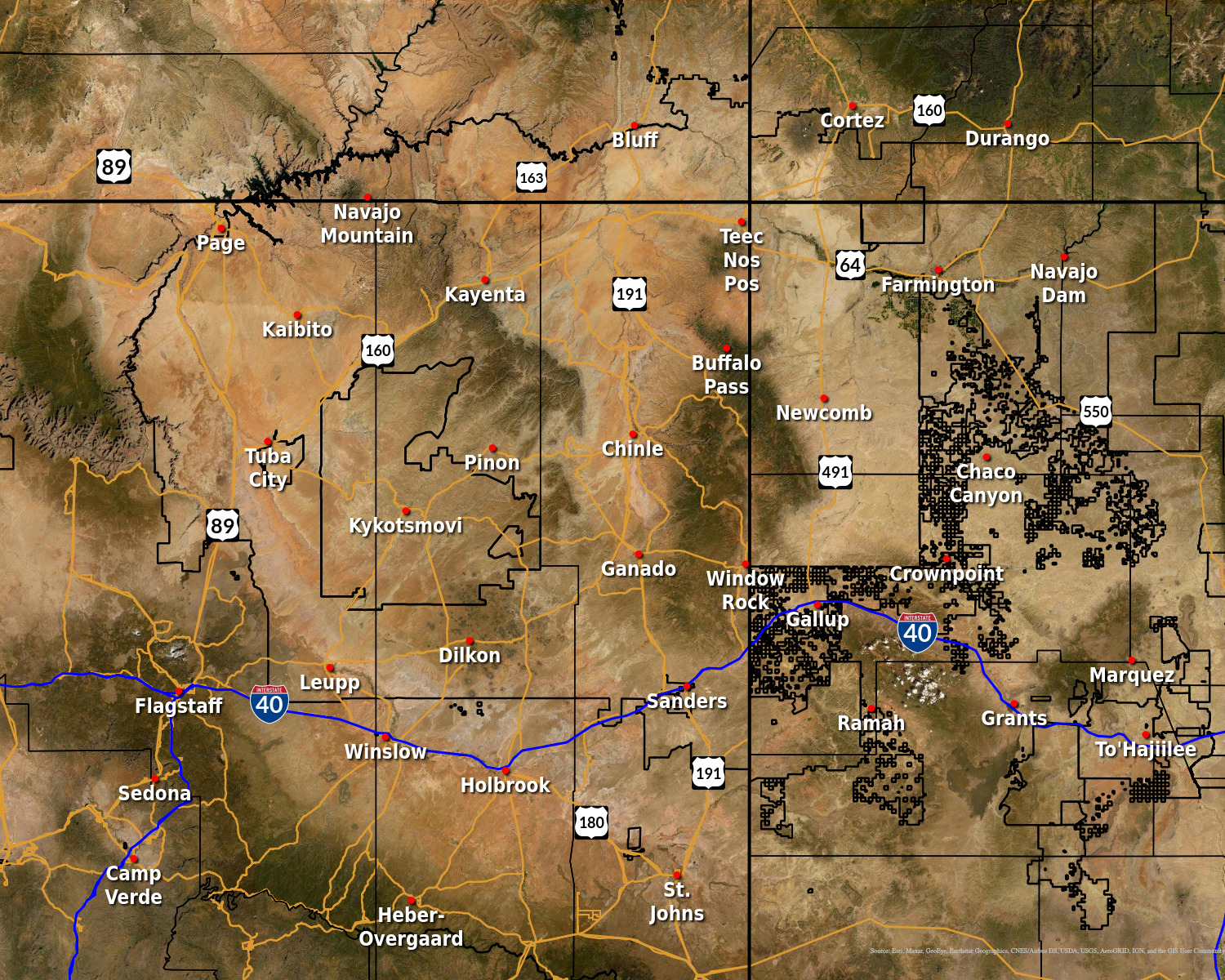
Navajo Nation
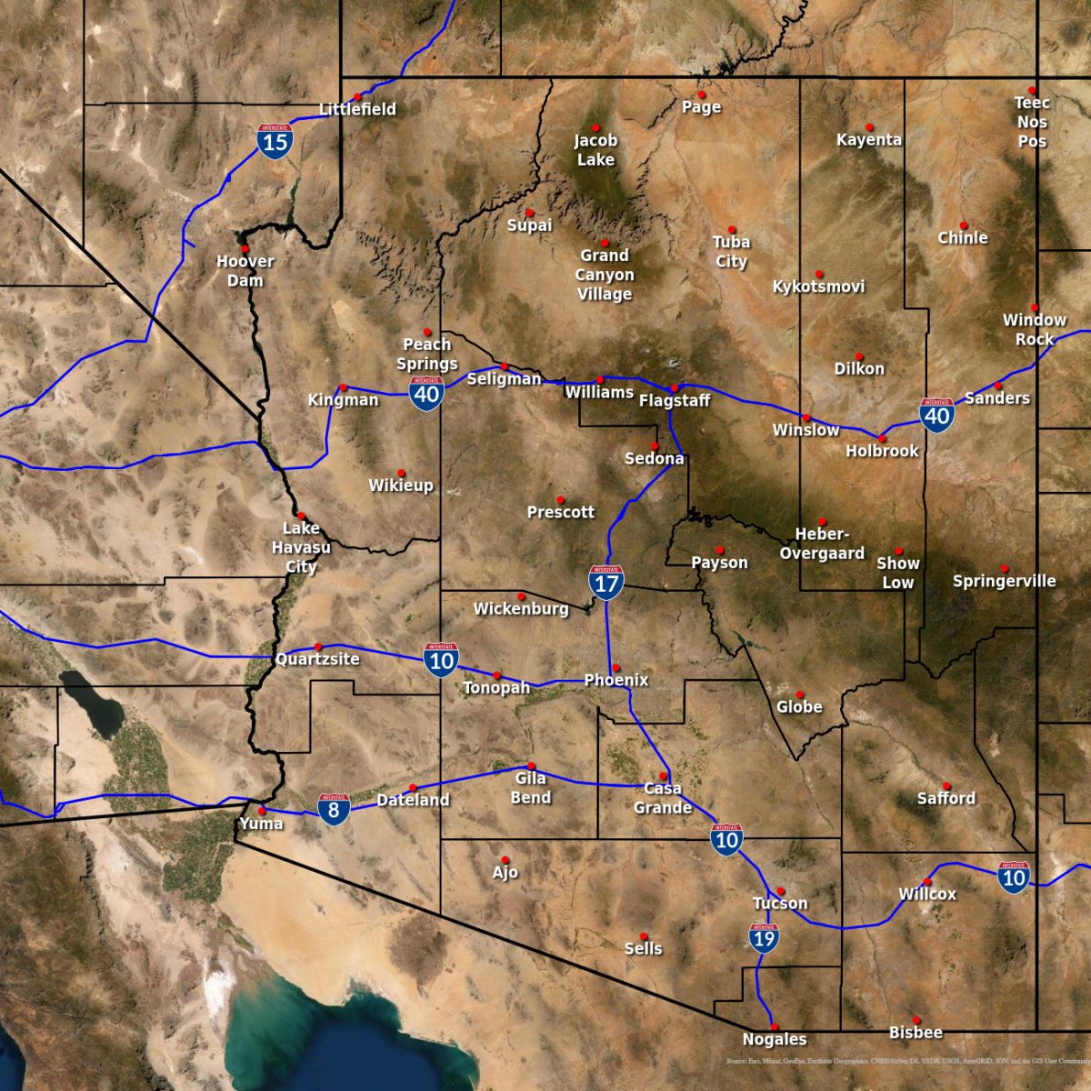
State of Arizona
|

|

|
|
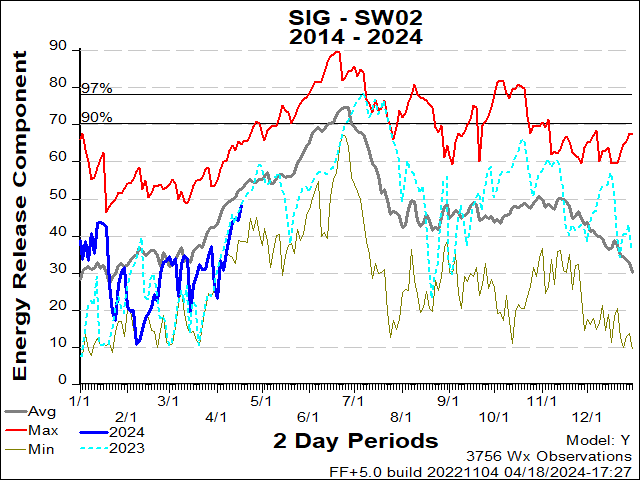
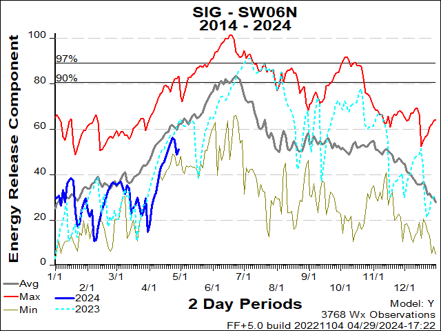
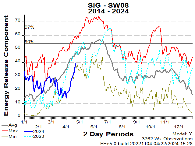
More locations are available from the SWCC here.
|
|
|
|
|
|

|

|

|

|

