Scattered thunderstorms with severe gusts, hail and a tornado risk are possible near a cold front from the Ohio Valley to the Mid-Atlantic tonight. Tropical Storm Bertha is expected to bring tropical storm conditions to portions of the Gulf Coast from the panhandle of Florida into Louisiana through Wednesday. Read More >
Overview:
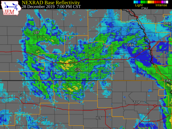
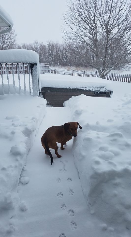
Between the evening of Fri. Dec. 27 and the early-morning of Mon. Dec. 30, a powerful and complex winter storm brought a wide variety of weather to the NWS Hastings coverage area. Most notably, this storm dumped 4-13" of snow within several counties mainly along/north of Highway 6 and along/west of Highway 281, as northwest winds frequently gusting 30-50+ MPH promoted significant blowing/drifting and resultant travel issues. In addition, liquid equivalent precipitation totals (from combined rain+snow) proved quite impressive for late December, with most places receiving at least 1-2". Put another way, some places saw as much precipitation from this one weather system as would "normally" be expected through the entirety of meteorological winter (Dec-Feb)! |
Snowfall:
The image of storm total snow amounts below was compiled from a combination of reports from
NWS Cooperative Observers and the Community Collaborative Rain, Hail & Snow Network (CoCoRaHS)
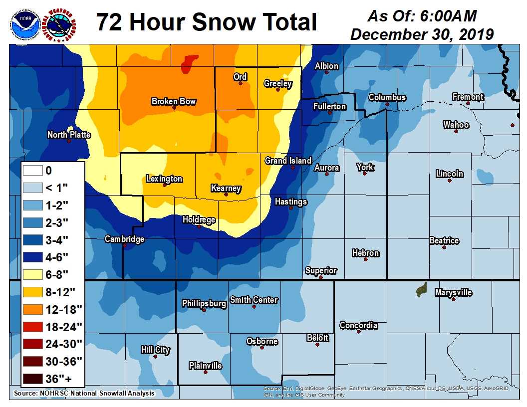 |
| APPROXIMATE Storm Total Snowfall Amounts (Dec. 27-30, 2019) |
The table of storm total snow amounts below was compiled from a combination of reports from
NWS Cooperative Observers (COOP) and the Community Collaborative Rain, Hail & Snow Network (CoCoRaHS)
| Location | Snow Totals |
| 2 W Arcadia | 13.2 |
| North Loup | 13.0 |
| Ord | 12.2 |
| Kearney (airport) | 11.1 |
| Ravenna | 11.0 |
| Loup City | 10.0 |
| Miller | 9.5 |
| Greeley | 7.7 |
| St. Paul | 7.2 |
| Holdrege | 6.0 |
| 2 SW Grand Island | 6.0 |
| 1 W Orleans | 4.3 |
| Wilsonville | 4.0 |
| Cambridge | 4.0 |
| 4 N Hastings (NWS Office) | 3.7 |
| Grand Island (airport) | 3.7 |
| Doniphan | 3.1 |
| Jewell, KS | 3.0 |
| Edison | 3.0 |
| 6 E Phillipsburg, KS | 2.0 |
| Franklin | 1.7 |
| 3 N York | 1.7 |
| 7 NNE Natoma, KS | 1.6 |
| Smith Center, KS | 1.6 |
| Burr Oak, KS | 1.5 |
| Logan, KS | 1.5 |
| Lebanon, KS | 1.2 |
| Beloit, KS | 1.0 |
| Ionia, KS | 0.7 |
| Cawker City, KS | 0.5 |
| 2 NNW Hunter, KS | 0.5 |
| Bradshaw | 0.5 |
| 4 WNW Plainville, KS | 0.4 |
| 6 ESE Clay Center | 0.4 |
| Superior | 0.4 |
| Hebron | 0.2 |
Liquid Equivalent Precipitation Totals:
The image of storm total snow amounts below was compiled from a combination of reports from
NWS Cooperative Observers and the Community Collaborative Rain, Hail & Snow Network (CoCoRaHS)
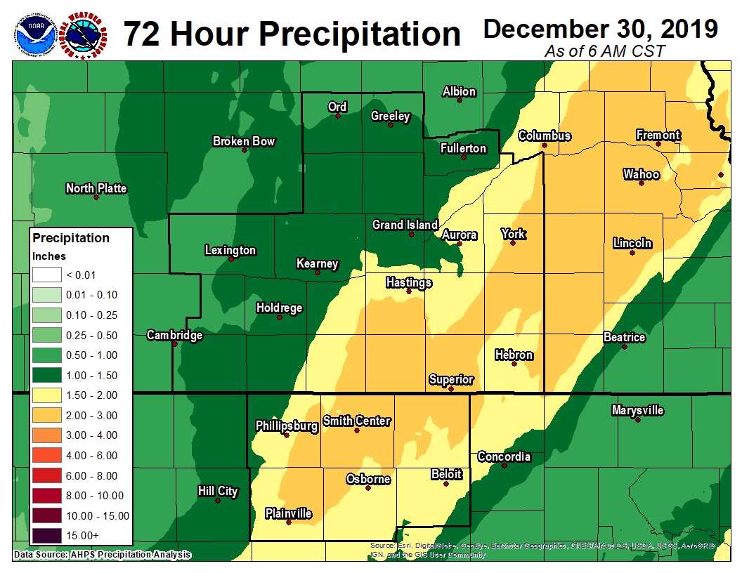 |
| APPROXIMATE Storm Total Liquid Equivalent (Dec. 27-30, 2019) |
The table of storm total snow amounts below was compiled from a combination of reports from
NWS Cooperative Observers (COOP) and the Community Collaborative Rain, Hail & Snow Network (CoCoRaHS)
| Location | Liquid Totals |
| 7 NW Lebanon, KS | 2.78 |
| Plainville, KS | 2.34 |
| Lebanon, KS | 2.19 |
| Beloit, KS | 2.17 |
| 2 S Hastings | 2.12 |
| 4 WNW Plainville | 2.10 |
| Smith Center, KS | 2.01 |
| 3 NE Shelby | 1.87 |
| Kearney (airport) | 1.85 |
| Burr Oak, KS | 1.82 |
| Nelson | 1.81 |
| Jewell, KS | 1.81 |
| Hebron | 1.81 |
| Cawker City, KS | 1.79 |
| 6 E Phillipsburg, KS | 1.79 |
| St. Paul | 1.78 |
| 2 W Arcadia | 1.78 |
| 7 NNE Natoma, KS | 1.77 |
| Ionia, KS | 1.76 |
| 1 NNE Osborne, KS | 1.73 |
| Hastings (official NWS total) | 1.71 |
| Franklin | 1.68 |
| 3 N York | 1.68 |
| Doniphan | 1.66 |
| Osceola | 1.63 |
| 6 ESE Clay Center | 1.62 |
| Bradshaw | 1.57 |
| Superior | 1.55 |
| 10 WNW Stockton, KS | 1.48 |
| Ravenna | 1.43 |
| Grand Island (airport) | 1.42 |
| Ord | 1.34 |
| Loup City | 1.32 |
| Clay Center | 1.32 |
| Logan, KS | 1.15 |
| 1 W Orleans | 1.10 |
| Wilsonville | 1.05 |
| Miller | 0.99 |
| Greeley | 0.97 |
| Cambridge | 0.87 |
| Edison | 0.83 |
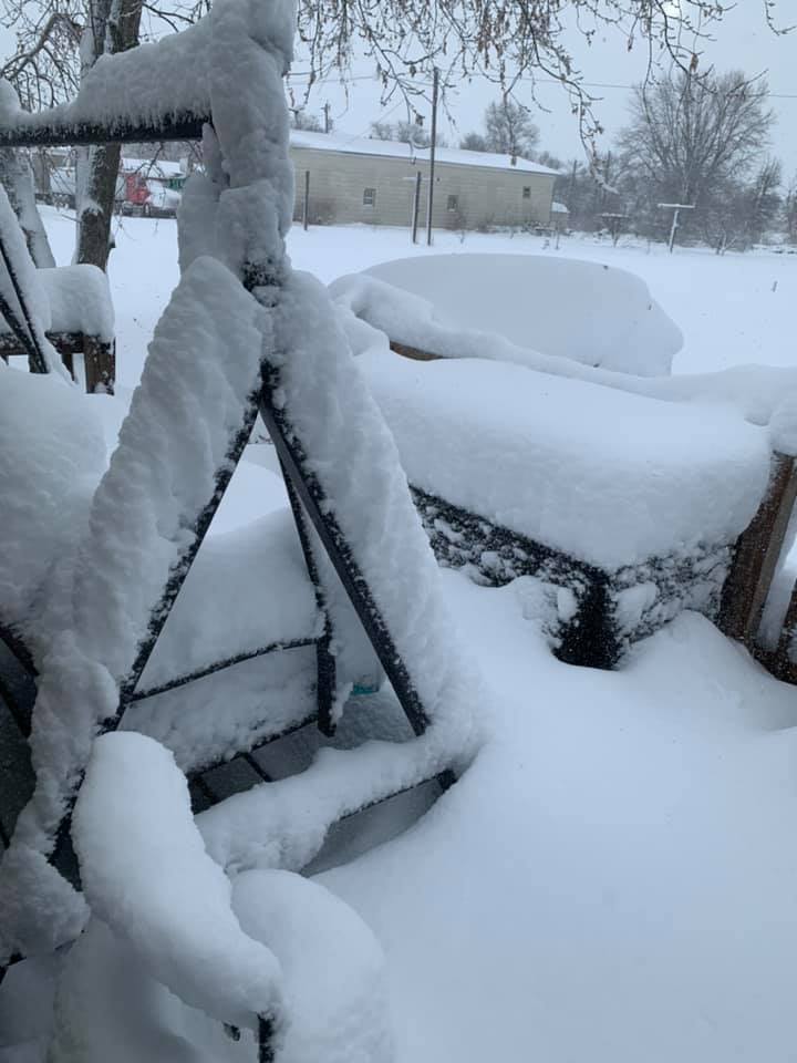
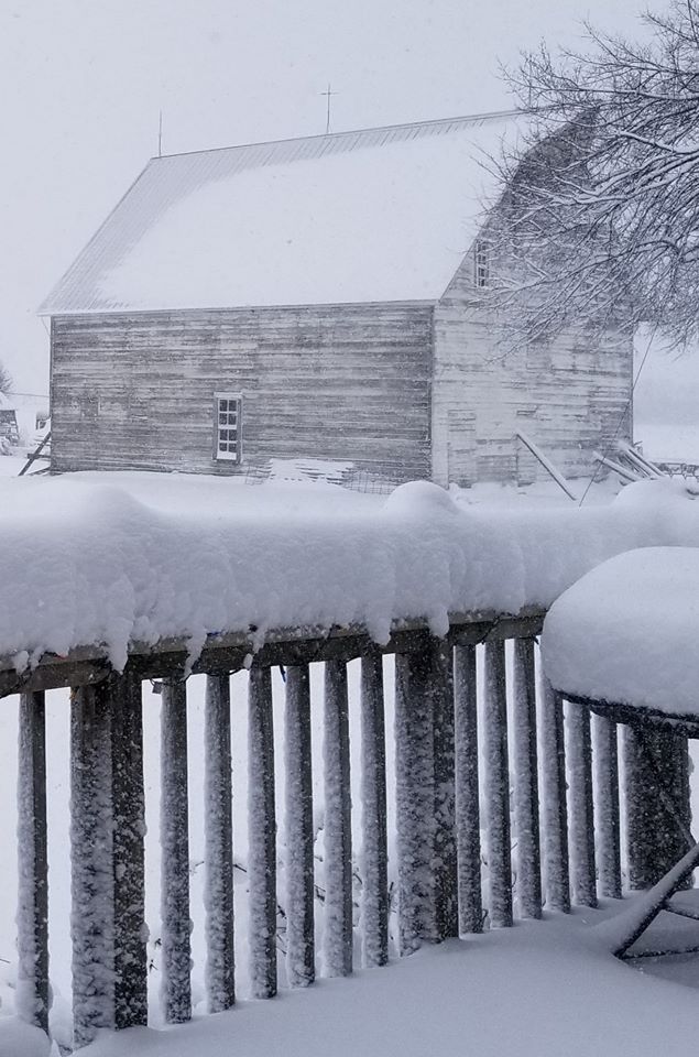
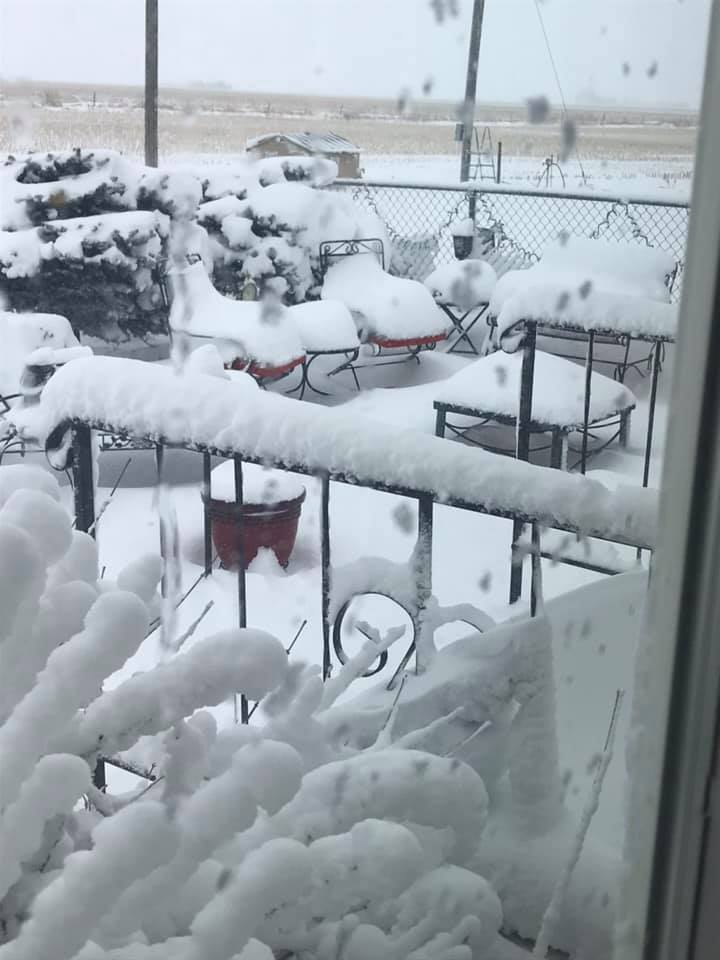
Photos:
 |
 |
 |
 |
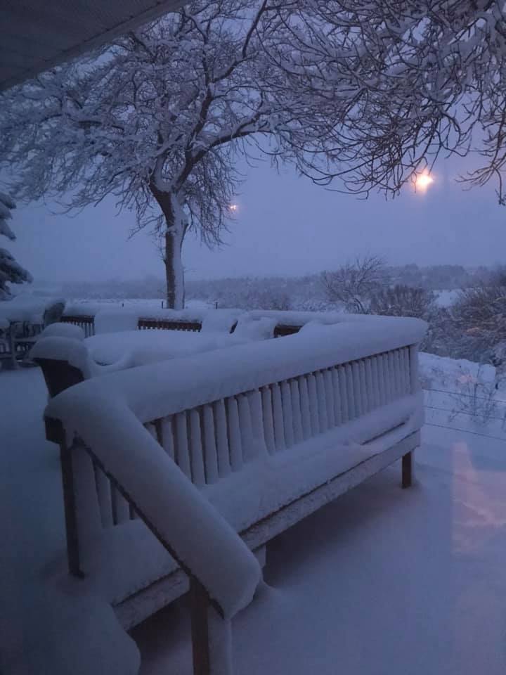
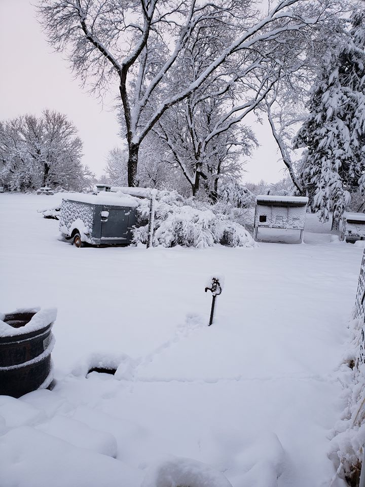
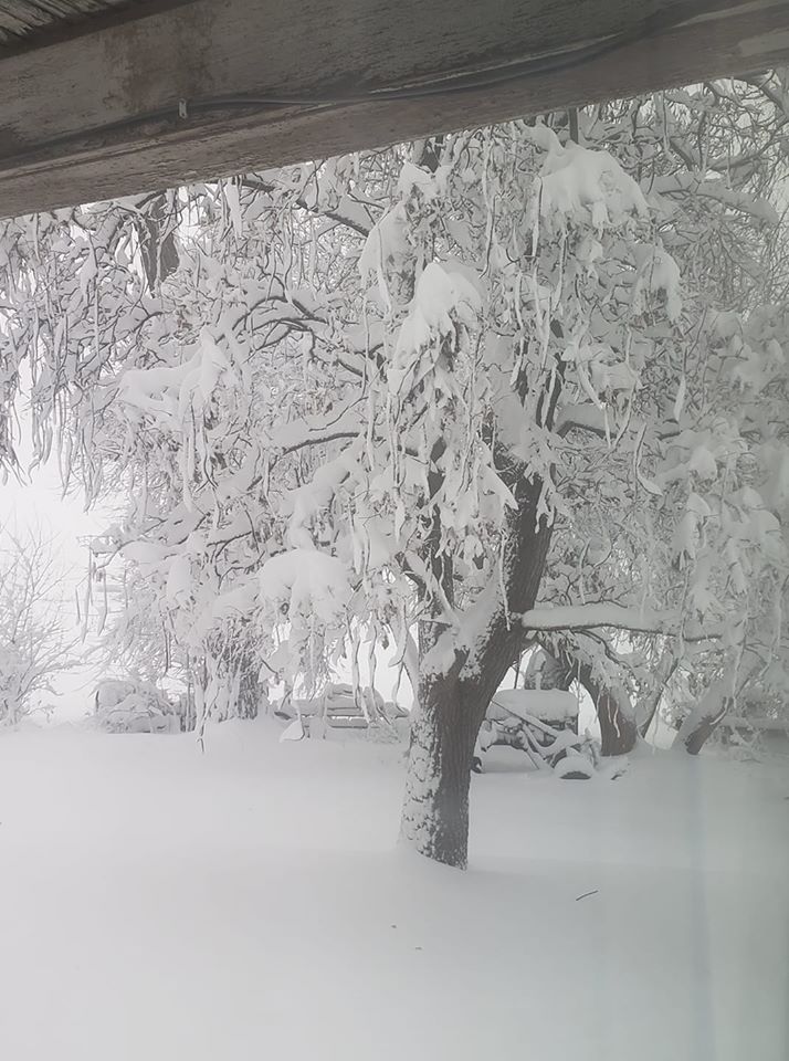
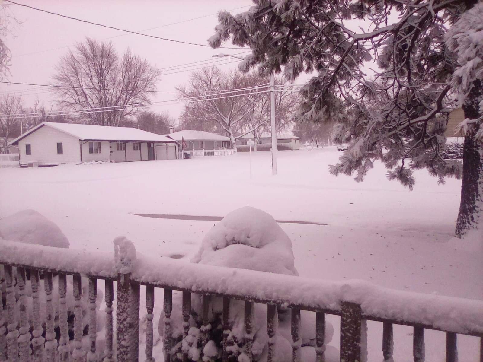
| Near Boelus Photo by Paula Krance Rathman. |
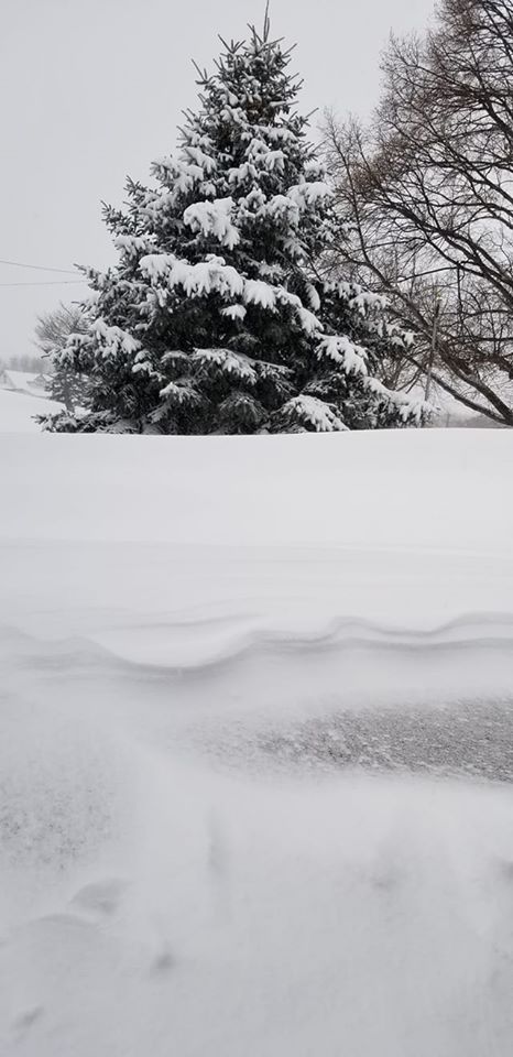
Near Cairo Photo by Toni Durby. |
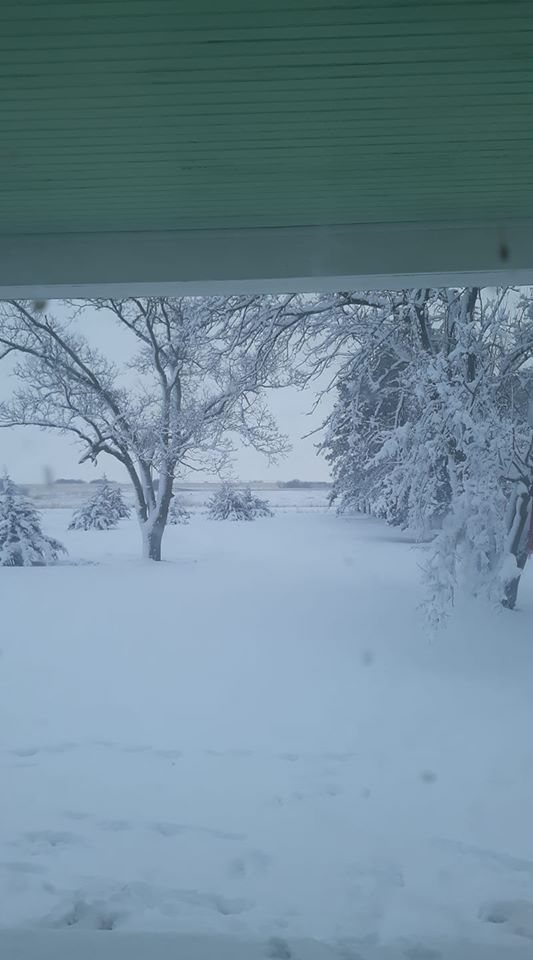
Near Elm Creek Photo by Brandon Devroy. |
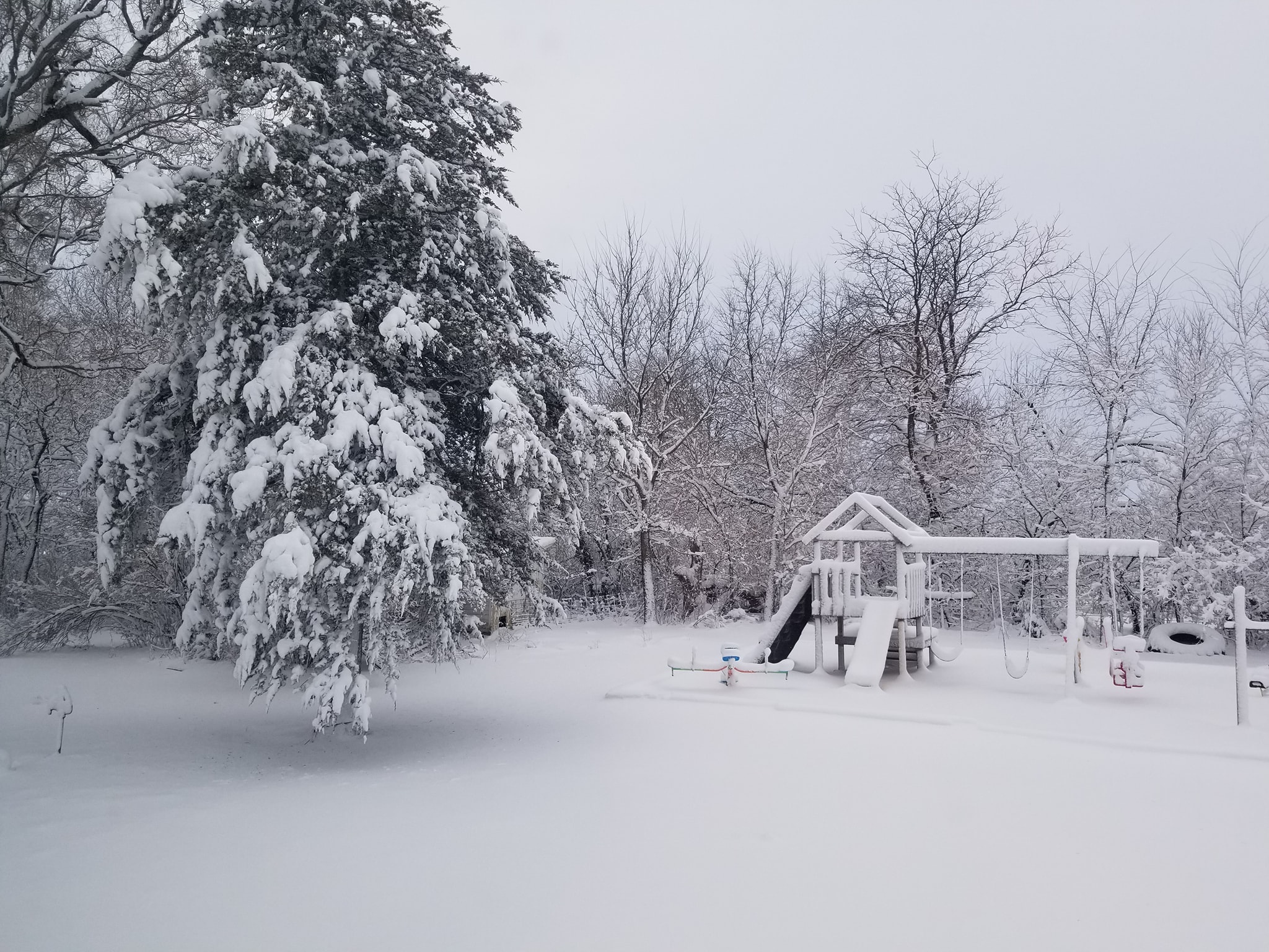
Near Grand Island Photo by Kent Hollman. |
 |
 |
 |
 |
| 4 W Cairo Photo by Melissa Grabowski. |
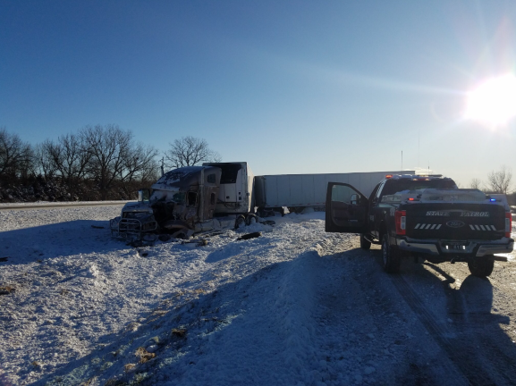
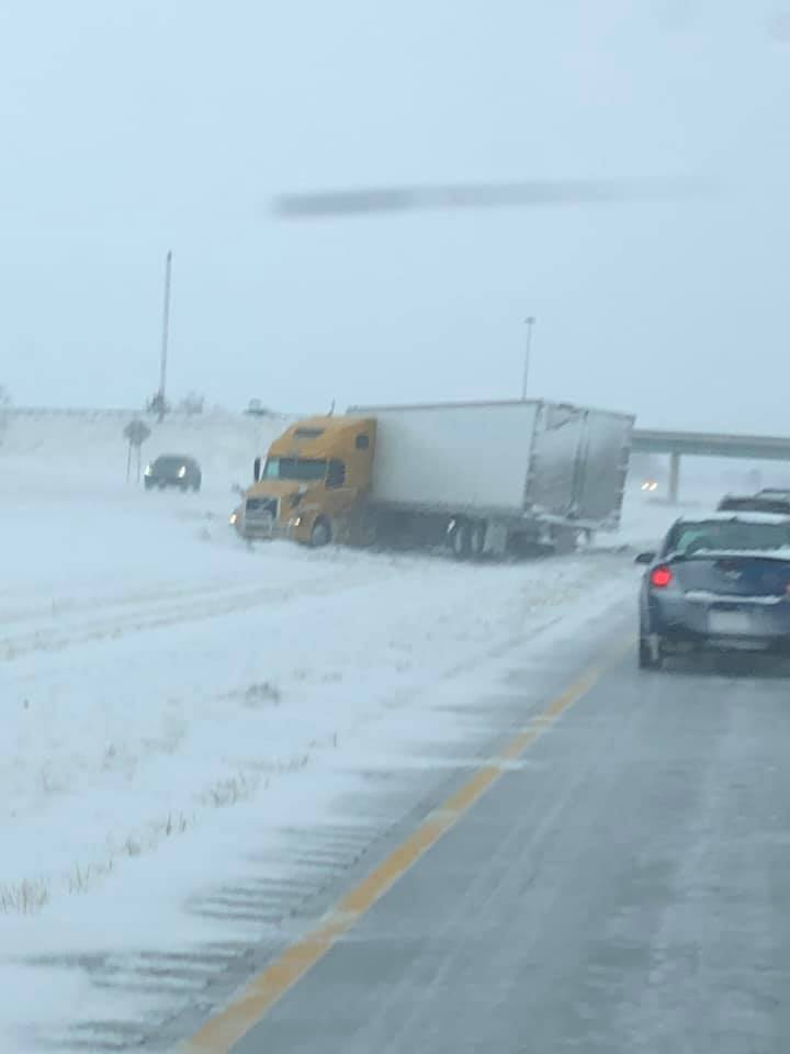
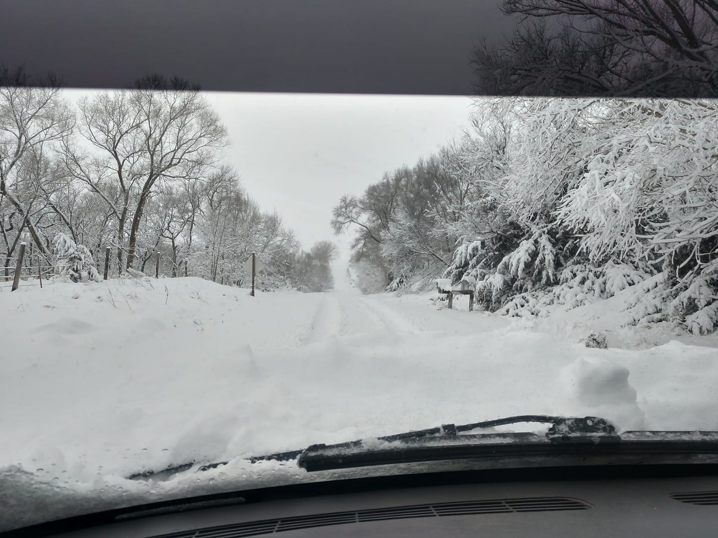
I-80 Near Cozad Photo by NE State Patrol. |
Kearney Photo by Heather Brummels. |
Near Kearney Photo by Kent McConnell |
 |
 |
 |
 |
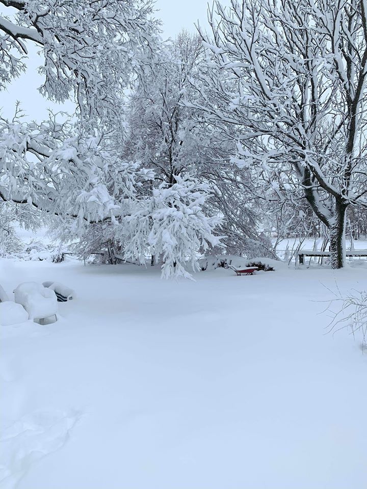
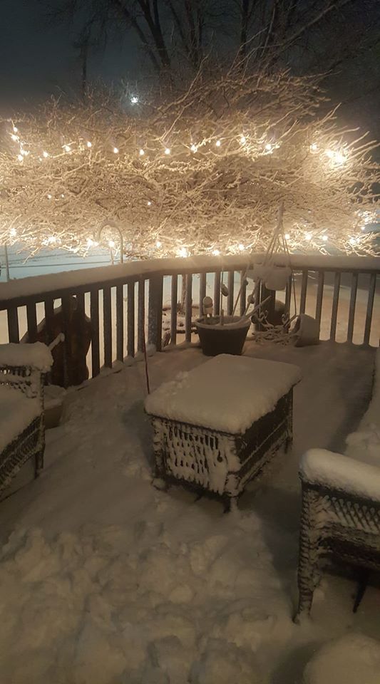
| Hastings Photo by Jane Marie. |
Hastings Photo by Michelle Musgrave. |
Near Heartwell Photo by Sherry Reichstein. |
I-80 Near Kearney Photo by Russel Psota. |
 |
 |
 |
 |
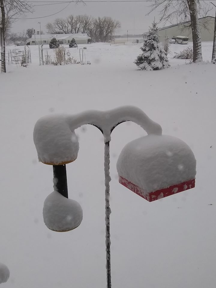
| Near Kearney Photo by Sheila Pickrel. |
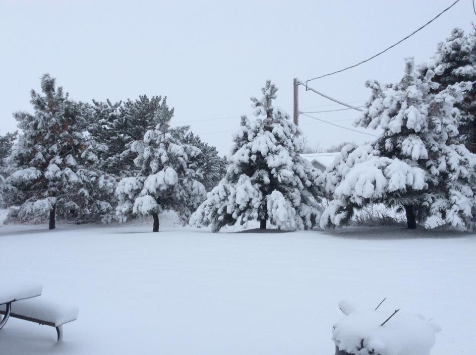
Near Loup City Photo by Charlsie Norseen. |
Near Ord Photo by Rebecca Howard. |
Near Upland Photo by Gloria Hain. |
 |
 |
 |
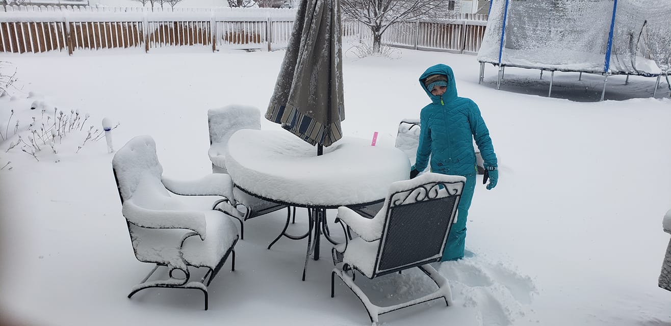
| Near Minden Photo by Derek Ingram. |
Minden Photo by Court Webber. |
Near Wolbach Photo by Abe Klassen. |
 |
 |
 |
 |
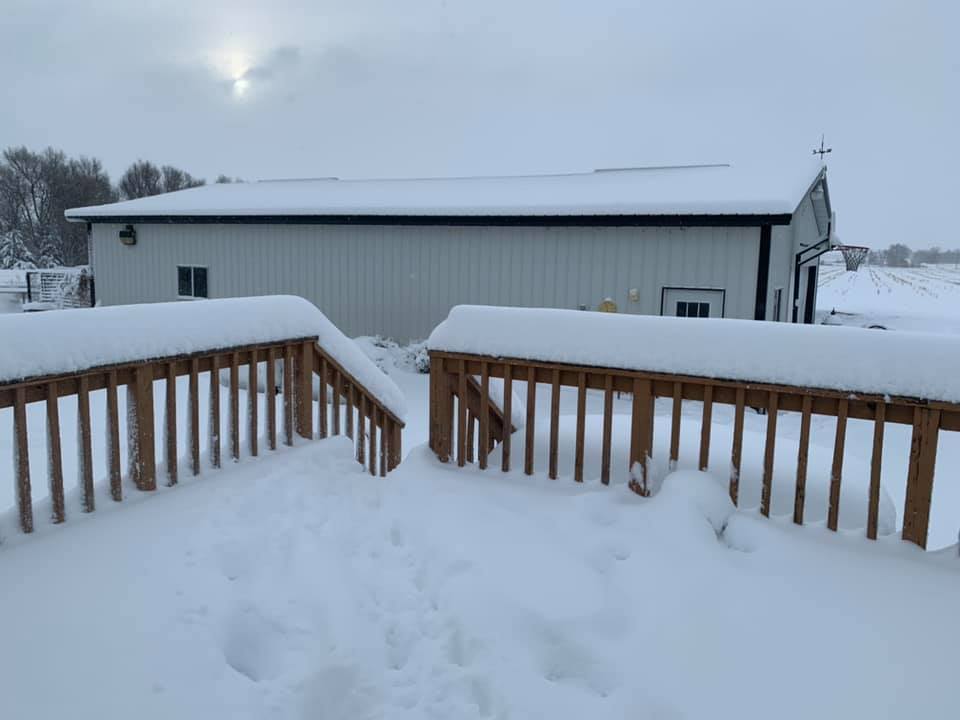
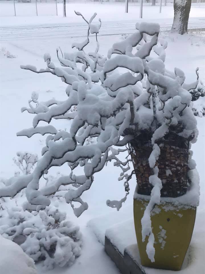
| Near Overton Photo by Audrey Riebschlager. |
Near Scotia Photo by Cilinda Meyer-Scheideler. |
Near Shelton Photo by Cindy Van Meter Walker. |
Near Wood River Photo by Michelle Hayden Wiseman. |
 |
Media use of NWS Web News Stories is encouraged! Please acknowledge the NWS as the source of any news information accessed from this site. |
|