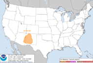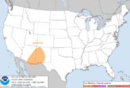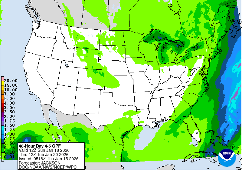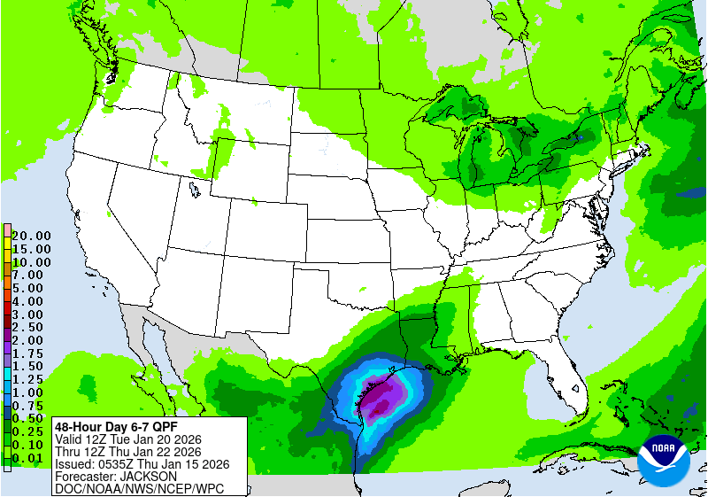
The second storm will track across central and eastern portion of the country this weekend. Heavy wintry precipitation will affect the northern Plains to the upper peninsula of Michigan. Severe thunderstorms are expected along and ahead of the cold front, where very large hail, damaging winds and a few tornadoes are possible from the mid-Mississippi and Ohio Valleys to southern Plains. Read More >
Grand Junction, CO
Weather Forecast Office
|
Current Conditions and Seven Day Forecast |
||
  Current Nationwide Fire Weather Watches/Red Flag Warnings |
Eastern Utah and Western Colorado Watches and Warnings Map (Including Non-Fire Weather Products) |
 Rockies Radar Loop |
 Rockies Visible Satellite Image (Loop) |
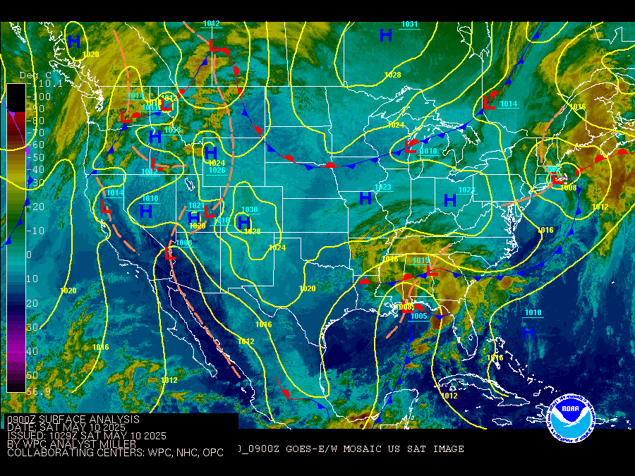 Upper Midwest Surface Analysis (Alternate Site UCAR) |
Interactive Surface Observation Map Current Conditions in Eastern Utah and Western Colorado (text format) |
US Dept of Commerce
National Oceanic and Atmospheric Administration
National Weather Service
Des Moines, IA
9607 NW Beaver Drive
Johnston, IA 50131-1908
515-270-2614
Comments? Questions? Please Contact Us.
Hazards
Detailed Hazards Viewer
National Briefing
Outlooks
Transportation Decision Support
Winter Storm Severity Index
Forecasts
Aviation Weather
Fire Weather
Forecast Discussion
Forecast Points
Local Area
Severe Weather
Soaring Forecast
Winter Weather
Hydrology
Recreational River Report
River Forecast
Weather Safety
Preparedness
NOAA Weather Radio
StormReady
SkyWarn
US Dept of Commerce
National Oceanic and Atmospheric Administration
National Weather Service
Grand Junction, CO
2844 Aviators Way
Grand Junction, CO 81506-8644
970-243-7007
Comments? Questions? Please Contact Us.


