
Cooler and less humid conditions for most of the eastern third of the nation as high pressure dominates the weather pattern. Otherwise, rather tranquil weather for most of the nation for the end of the weekend into the start of this week. We continue to monitor a developing coastal storm offshore of the Carolinas; Coastal flooding and beach erosion possible along portions of the Mid-Atlantic. Read More >
Grand Junction, CO
Weather Forecast Office
Monsoonal moisture will stretch across the area for a second day, focusing precipitation over western Colorado. This will result in widespread light rain with locally heavy rain showers and isolated thunderstorms. Gusty outflow winds to 40 MPH and occasional lightning are expected, as well as an increased potential for mud and rock slides and localized flooding.
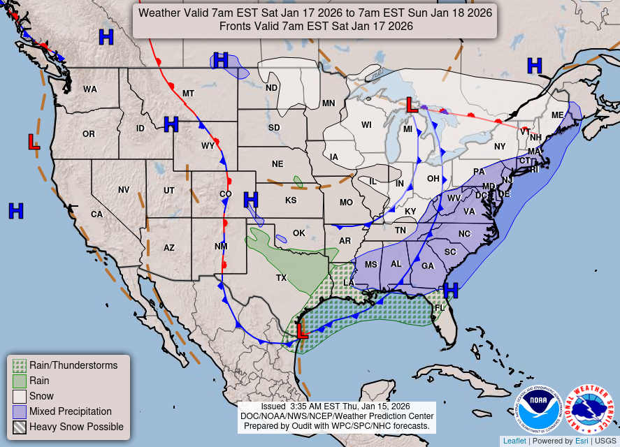
Latest Forecast Weather Map
Forecast Precipitation Through Saturday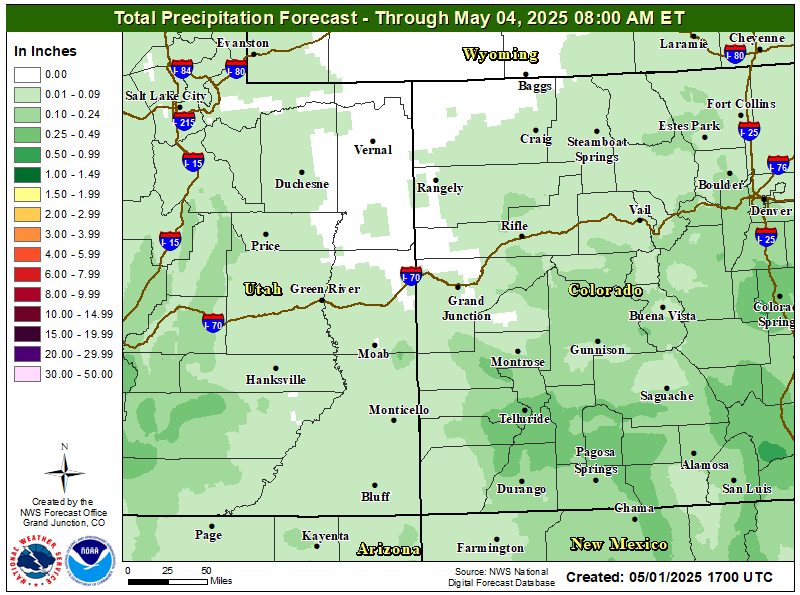
Hazards
Detailed Hazards Viewer
National Briefing
Outlooks
Transportation Decision Support
Winter Storm Severity Index
Forecasts
Aviation Weather
Fire Weather
Forecast Discussion
Forecast Points
Local Area
Severe Weather
Soaring Forecast
Winter Weather
Hydrology
Recreational River Report
River Forecast
Weather Safety
Preparedness
NOAA Weather Radio
StormReady
SkyWarn

US Dept of Commerce
National Oceanic and Atmospheric Administration
National Weather Service
Grand Junction, CO
2844 Aviators Way
Grand Junction, CO 81506-8644
970-243-7007
Comments? Questions? Please Contact Us.


 Follow us on X
 Follow us on Facebook
 Follow us on YouTube
 GJT RSS Feed