A strengthening coastal storm will bring soaking rains to portions of the Mid-Atlantic and Northeast, with accumulating snow likely across the higher elevations of northern New England through Friday. A Pacific storm system will bring heavy low elevation rain, and gusty winds to northern California and the Pacific Northwest, as well as possible blizzard conditions to the Sierra Nevada on Friday. Read More >
Grand Junction, CO
Weather Forecast Office
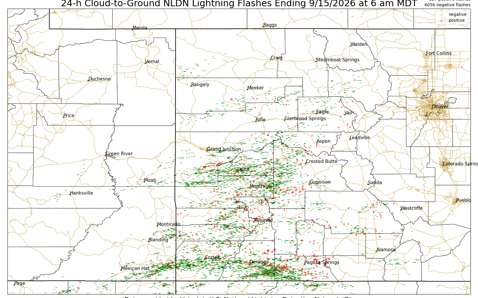
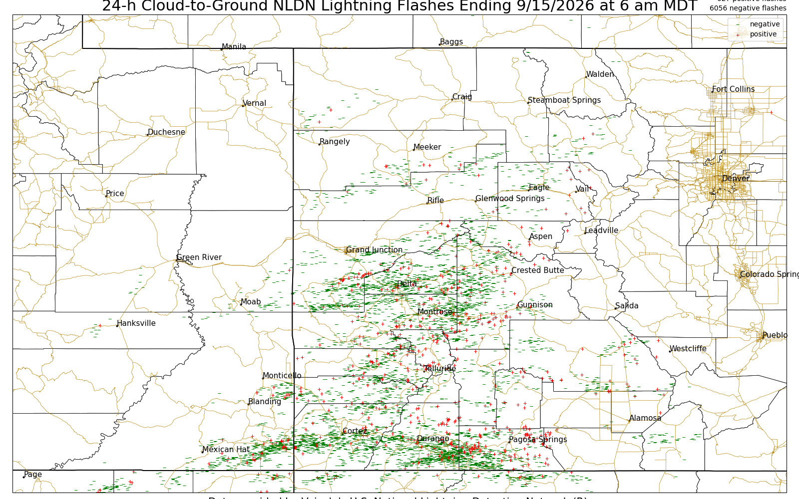
The lightning images below are updated daily around 7:30 to 8:30 AM and contain 24-hr accumulations of lightning ending at 6 am MDT (5 am MST) each day. There are two sets of images for (1) NLDN cloud-to-ground flashes only and (2) GOES-East Lightning Mapper (GLM) cloud flash points. Option #1 only represents cloud-to-ground lightning flashes, and is based on a surface detection network. Option #2 does not discriminate between cloud-to-ground versus in-cloud flashes (i.e., it represents the total lightning) and is based on satellite. In-cloud lightning flashes can comprise 60–90% of the total lightning (i.e., most lightning does not reach the ground). Satellite-based lightning detection also does not depict the exact location where the flash occurred because of an issue known as "parallax." Mouse over each day to view the 24-h cumulative lightning flash maps. Printable versions are at the bottom of each of the three map segments.
| 24-h Cumulative NLDN Cloud-to-Ground Lightning Flashes |
Yesterday | 2 Days Ago | 3 Days Ago | 4 Days Ago | 5 Days Ago | 6 Days Ago | 7 Days Ago | 8 Days Ago |
 |
||||||||
Printable: Yesterday, 2 Day Ago, 3 Days Ago, 4 Days Ago, 5 Days Ago, 6 Days Ago, 7 Days Ago, 8 Days Ago
Hazards
Detailed Hazards Viewer
National Briefing
Outlooks
Transportation Decision Support
Winter Storm Severity Index
Forecasts
Aviation Weather
Fire Weather
Forecast Discussion
Forecast Points
Local Area
Severe Weather
Soaring Forecast
Winter Weather
Hydrology
Recreational River Report
River Forecast
Weather Safety
Preparedness
NOAA Weather Radio
StormReady
SkyWarn

US Dept of Commerce
National Oceanic and Atmospheric Administration
National Weather Service
Grand Junction, CO
2844 Aviators Way
Grand Junction, CO 81506-8644
970-243-7007
Comments? Questions? Please Contact Us.


 Follow us on X
 Follow us on Facebook
 Follow us on YouTube
 GJT RSS Feed