
A Nor'easter will create hazardous marine and coastal conditions along the Mid-Atlantic coast through mid-week, with significant coastal flooding and beach erosion possible. Meanwhile, another strong storm system is forecast to bring high winds and heavy precipitation to portions of southern Alaska. Elsewhere, relatively benign weather is expected through the first half of the work week. Read More >
Grand Junction, CO
Weather Forecast Office
.png) Winter Highlights Issued
Winter Highlights Issued
Winter Weather Warnings / Watches / Advisories Issued: 10/15/2026 05:53:00 PM UTC
Snowfall will be tapering off today as this system strengthens in the Plains. However lingering showers and gusty winds will create near whiteout conditions at times over the higher terrain and passes. Please stay tuned to the latest forecast as you plan your post-holiday travel.
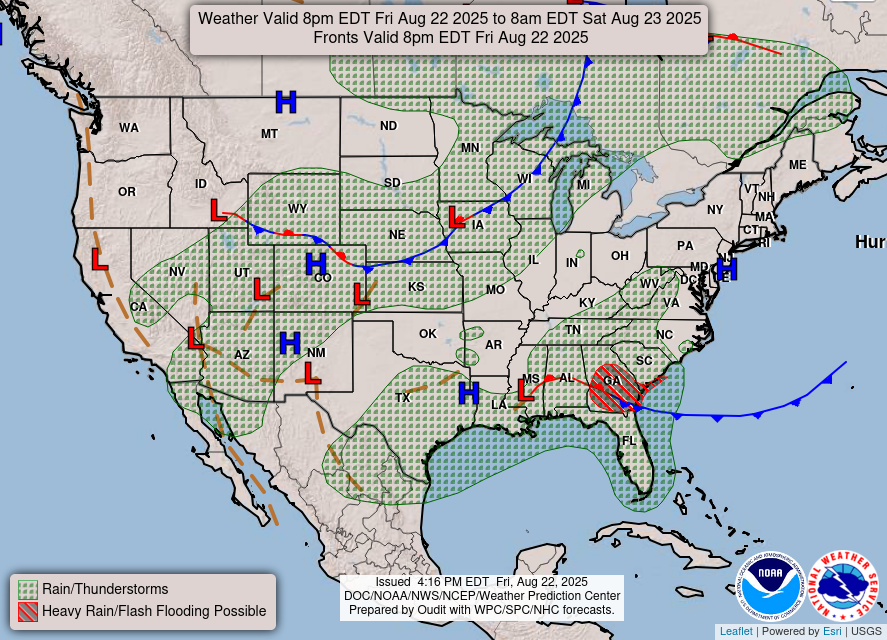
Latest Weather Map
Forecast Snowfall Through This Weekend
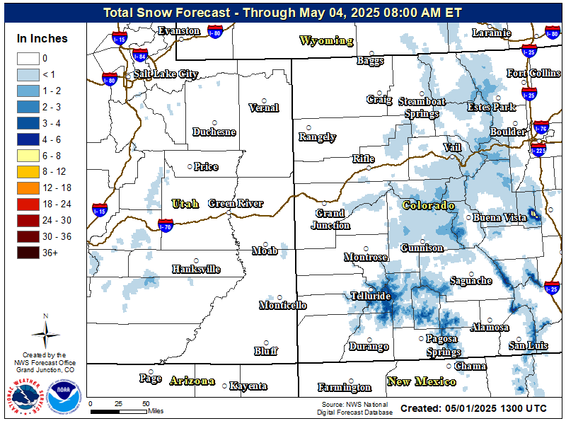
In addition to checking the forecast before heading out for your post-Thanksgiving travel, please check the latest road conditions! Visit the Colorado Department of Transportation's website for any travel delays and restrictions across Colorado and the Utah Department of Transportation's website for Utah.

Or, dial 511 for more information!
Hazards
Detailed Hazards Viewer
National Briefing
Outlooks
Transportation Decision Support
Winter Storm Severity Index
Forecasts
Aviation Weather
Fire Weather
Forecast Discussion
Forecast Points
Local Area
Severe Weather
Soaring Forecast
Winter Weather
Hydrology
Recreational River Report
River Forecast
Weather Safety
Preparedness
NOAA Weather Radio
StormReady
SkyWarn

US Dept of Commerce
National Oceanic and Atmospheric Administration
National Weather Service
Grand Junction, CO
2844 Aviators Way
Grand Junction, CO 81506-8644
970-243-7007
Comments? Questions? Please Contact Us.


 Follow us on X
 Follow us on Facebook
 Follow us on YouTube
 GJT RSS Feed