|
|
Fire Weather Information |
|
Request A Spot Forecast (For Official Use Only)
Fire Weather Forecasts
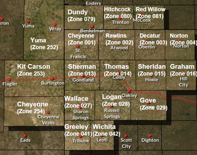
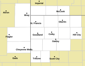
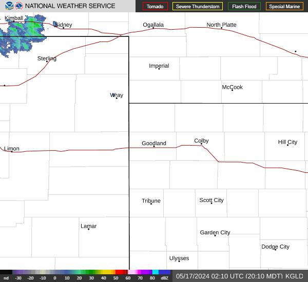
Click a county on the map below to get the most recent text Fire Weather Forecast. | Backup Product
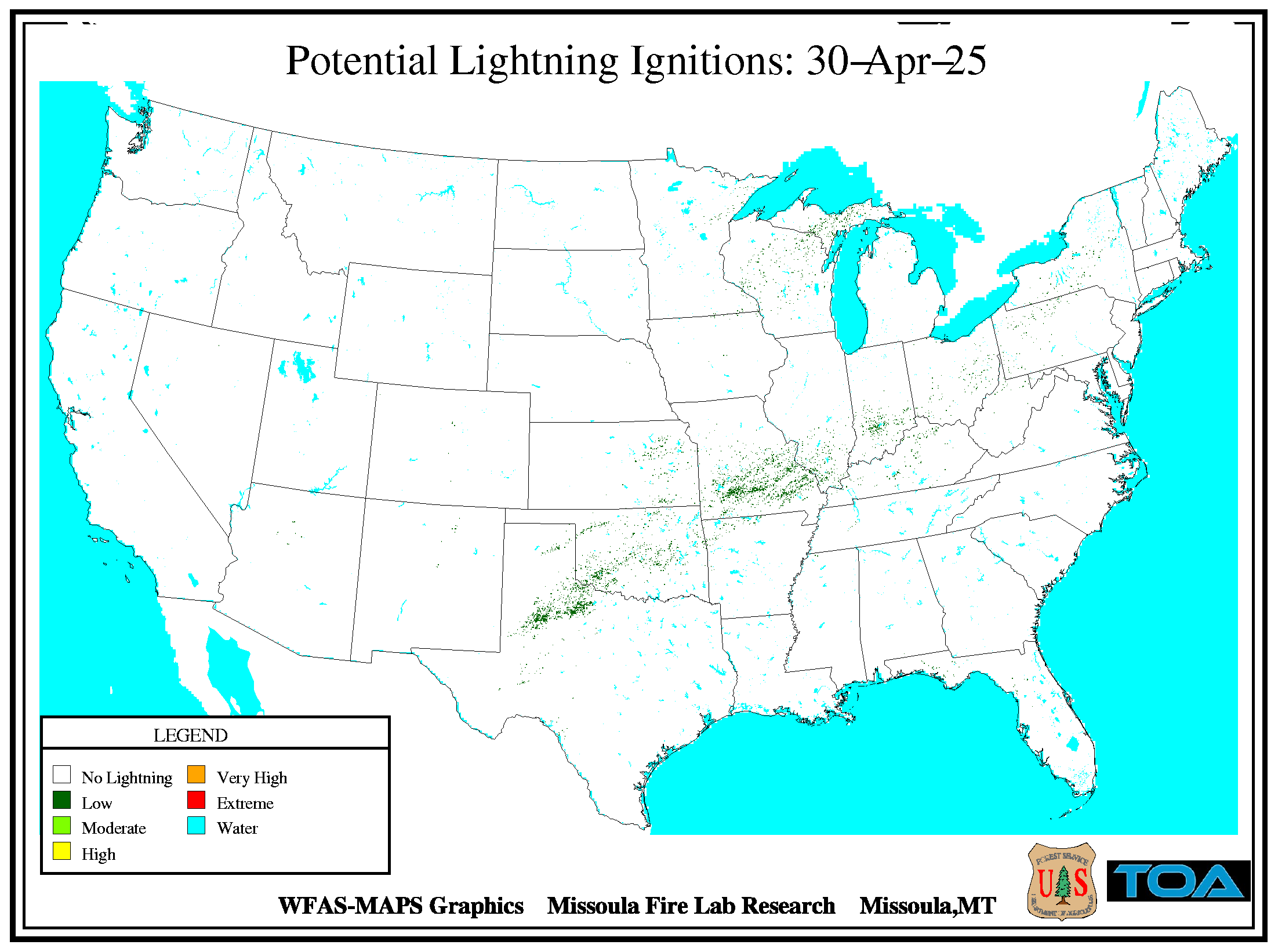
Grassland Fire Danger Index (GFDI) ** UNDER DEVELOPMENT ** IMAGES MAY BE OUTDATED
 |
|||
|
The Grassland Fire Danger Index (GFDI) does not account for rainfall or snow on the ground. Please make the appropriate adjustments. |
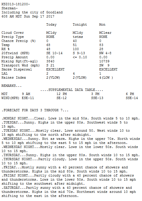
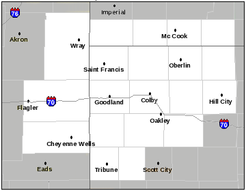
| Goodland Fire Weather Forecast | Goodland Fire Weather Watch/Warning | Goodland Fire Weather Grids | Additional Information Observed Weather:
Fire Weather Partners:
Surrounding Fire Wx Forecasts: Miscellaneous Links: |
 |
 |
 |
|
| Local Hazards | Current Fires | National Hazard Map | |
 |
 |
 |
|
| Outlooks - All Hazards | Weather Story | Graphical Nowcast | |
 |
 |
 |
|
| Forecast Fire Danger Class |
Local Radar | Observed Dry Lightning and Rainfall | |
 |
 |
 |
|
| SPC Fire Outlook Today | SPC Fire Outlook Tomorrow | SPC Fire Outlook Day 3-8 | |
 |
 |
 |
|
| Keetch-Byram Drought Index (KBDI) | 10 Hour Fuels | 100 Hour Fuels | |
 |
 |
 |
|
| Drought Monitor | Palmer Index | Drought Outlook | |
 |
 |
 |


