Last Map Update: Thu, Jul 23, 2026 at 12:14:31 am ChST


|
Marianas Text Product Selector
|
|
|
Eastern Micronesia Text Product Selector
|
|
|
Western Micronesia Text Product Selector
|
|
|
Tropical Cyclone Text Product Selector
|
|
784
NOUS60 PGUM 221221
FTMGUA
Message Date:  Jul 22 2026 12:21:41

PGUA WSR-88D IS DOWN DUE TO A KLYSTRON VACLON CURRENT FAILURE. RADAR MAINTENANCE
 WILL CONTINUE TROUBLESHOOTING IN THE MORNING. THANKS FOR YOUR PATIENCE. WFO GUA
M.


 Public Forecast
 Marine Forecast
 Radar
Radar Satellite
 Area Forecast Discussion
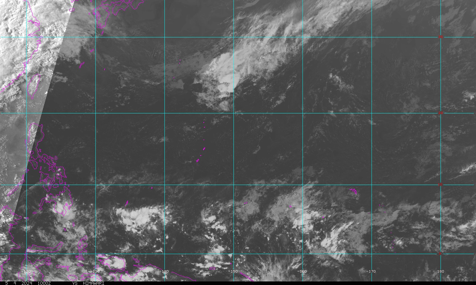
.png) Active Tropical Cyclones
Active Tropical Cyclones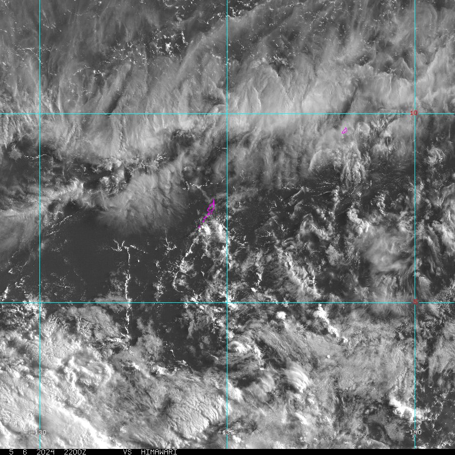 Palau Sector
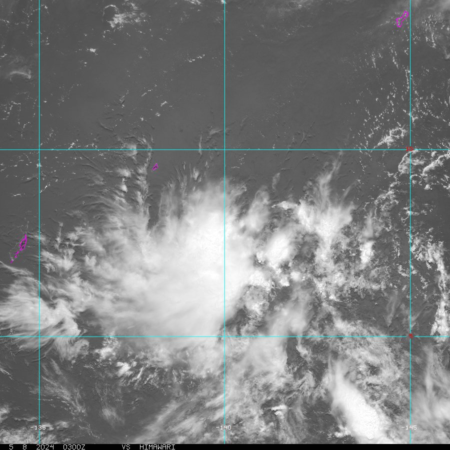 Yap Sector
 Marianas Sector
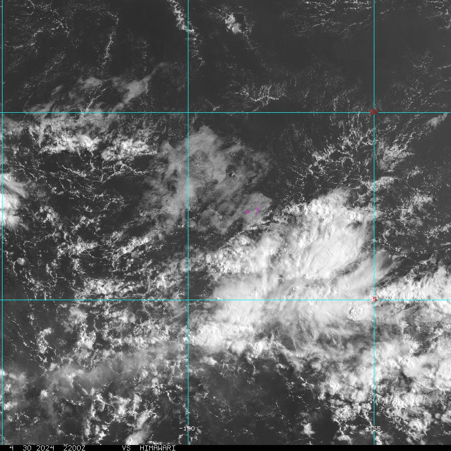 Chuuk Sector
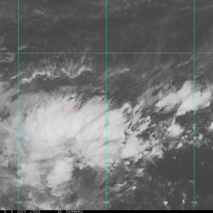 Pohnpei/Kosrae Sector
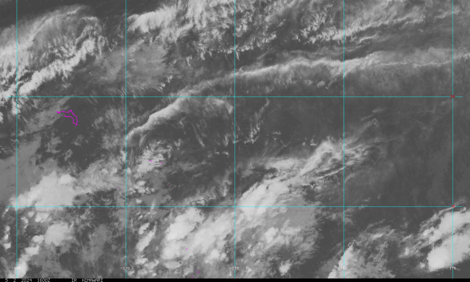 Marshall Islands Sector