Honolulu, HI
Weather Forecast Office
Effective on or about April 15, 2019, the Weather Forecast Office (WFO) in Honolulu will adjust the boundaries of Wind/Wave, Streamline and Prognostic Surface charts.
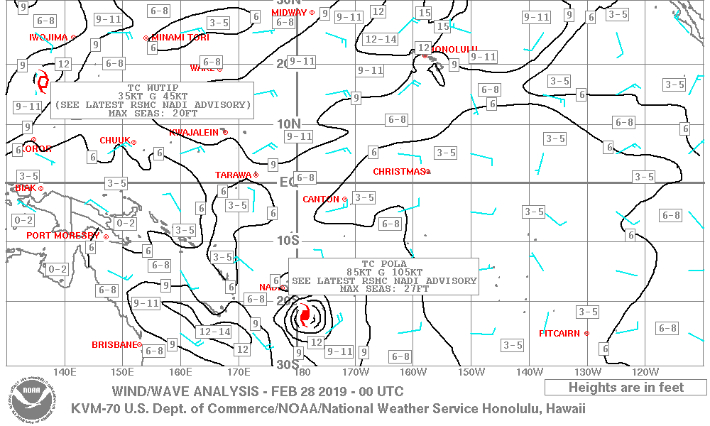
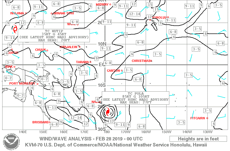
Wind/Wave charts: currently covering the Pacific Ocean from 130E to 110W longitude and from 30S to 30N latitude. The new coverage area for the charts will be from 130E to 120W longitude and from 30S to 30N latitude.
Current chart coverage:
New coverage area
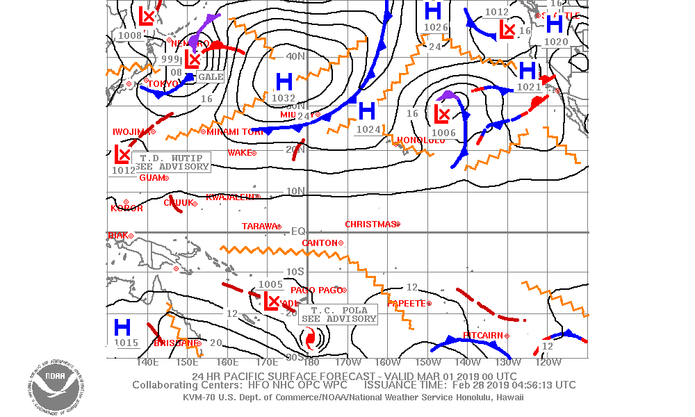
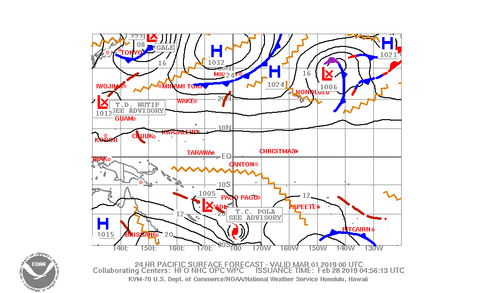
Prognostic Surface charts: currently cover the Pacific Ocean from 130E to 110W longitude and from 30S to 50N latitude. The new coverage area for the charts will be from 130E to 120W longitude and from 30S to 40N latitude.
Current chart coverage:
New coverage area
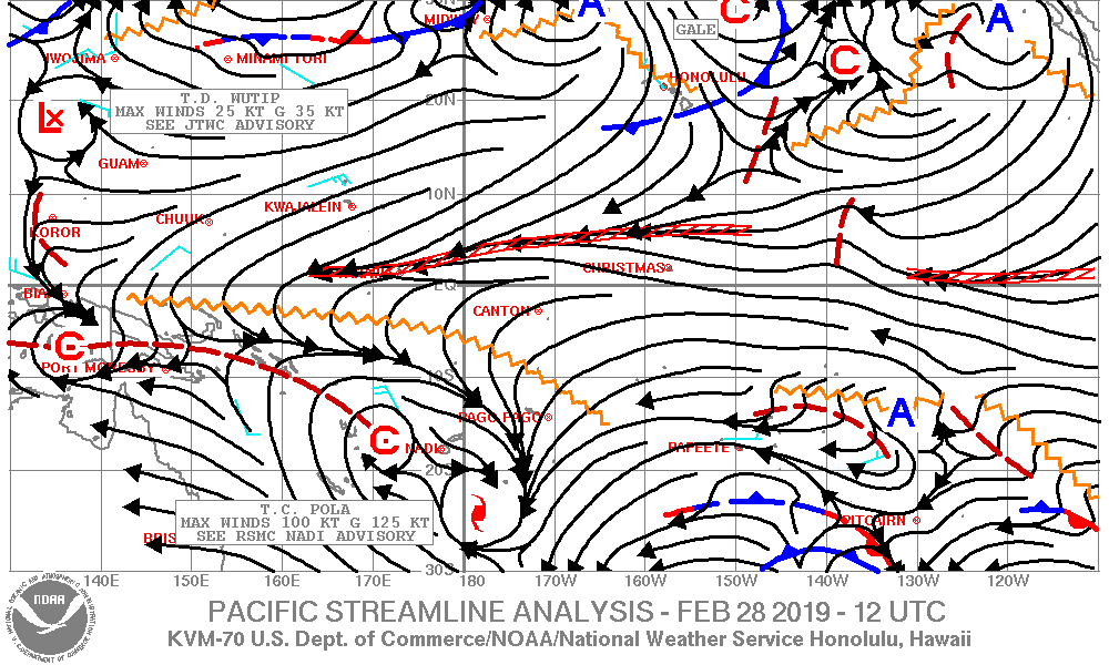
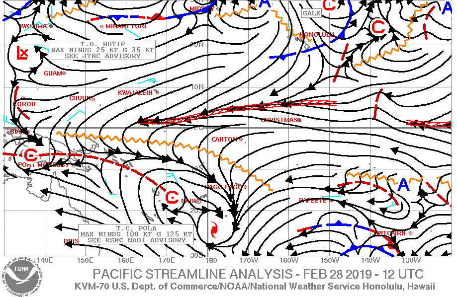
Streamline Analysis charts: currently cover the Pacific Ocean from 130E to 110W longitude and from 30S to 30N latitude. The new coverage area for the charts will be from 130E to 120W longitude and from 30S to 30N latitude.
Current chart coverage:
New coverage area
US Dept of Commerce
National Oceanic and Atmospheric Administration
National Weather Service
Honolulu, HI
2525 Correa Rd Suite 250
Honolulu, HI 96822
(808) 973-5286
Comments? Questions? Please Contact Us.

