The slow start to the 2008 severe weather season across Central and Southeast Kansas quickly changed as May arrived.
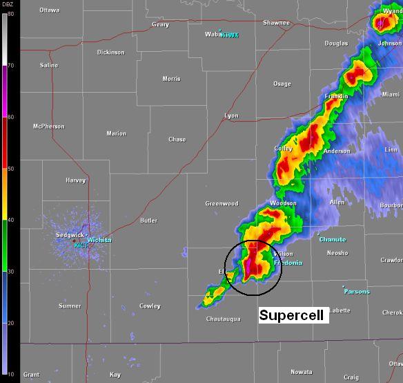
A complex weather pattern took shape during the afternoon of Thursday May 1st. A weak cold front/dryline slowly made its way into Southeast Kansas as low pressure intensified over the Oklahoma panhandle.
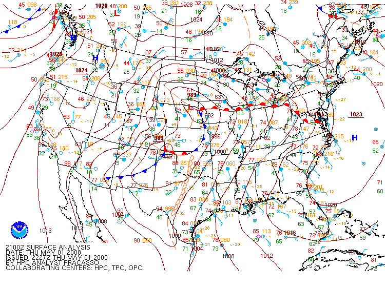 Surface map from 4 pm on May 1st. Severe storms first fired along this surface front over Southeast Kansas. |
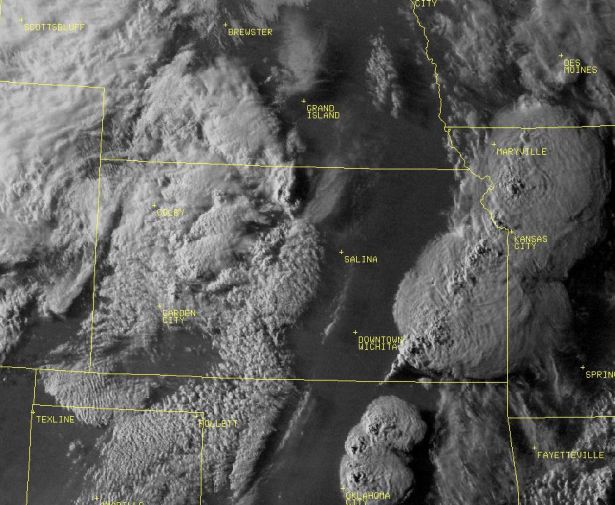
Visible satellite image from around sunset showing the line of severe storms stretching from Kansas City into Eastern Oklahoma. |
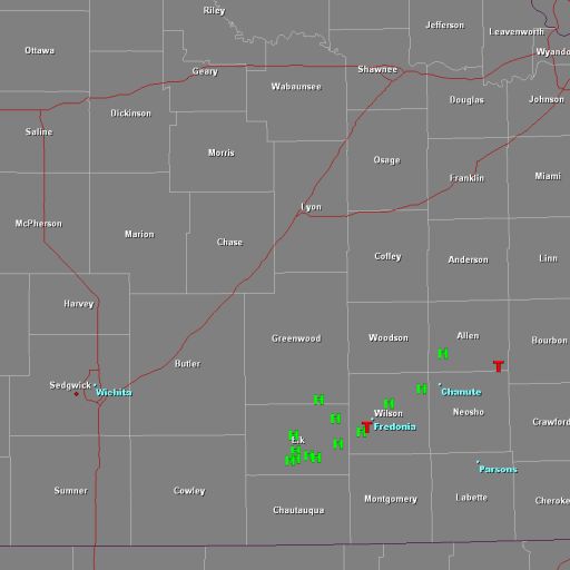
These storms produced very large hail along with a couple of tornadoes. Fortunately no significant damage was reported with these tornadoes. The largest hail reported was the size of tennis balls in Wilson and Elk Counties.
|
|
|
|
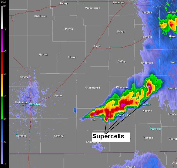
Around 10 pm, the dryline/weak cold front that sparked storms off over Southeast Kansas, tracked back to the west and collided with a much larger and stronger cold front. This caused a line of severe storms to rapidly develop generally along the Kansas Turnpike.
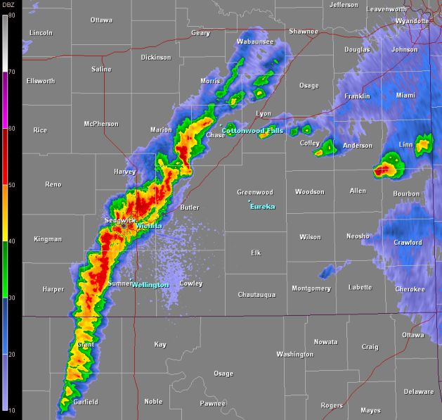 Radar image showing the line of severe storms when they first developed. These storms also produced large hail which did affect the city of Wichita. |
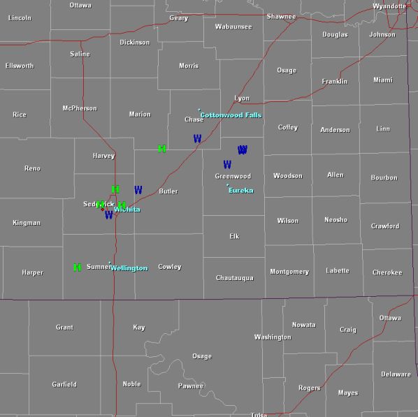 Map showing hail reports larger than quarter size and high wind reports from after 10 pm. |
This line of severe storms tracked east overnight with the northern portion of the line intensifying and causing the most damage. The image below is a radar image showing this powerful storm as it affected Northern Greenwood County.
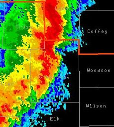 Radar image of storm that produced damage over Northern Greenwood County. |
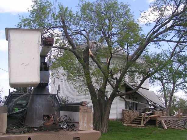
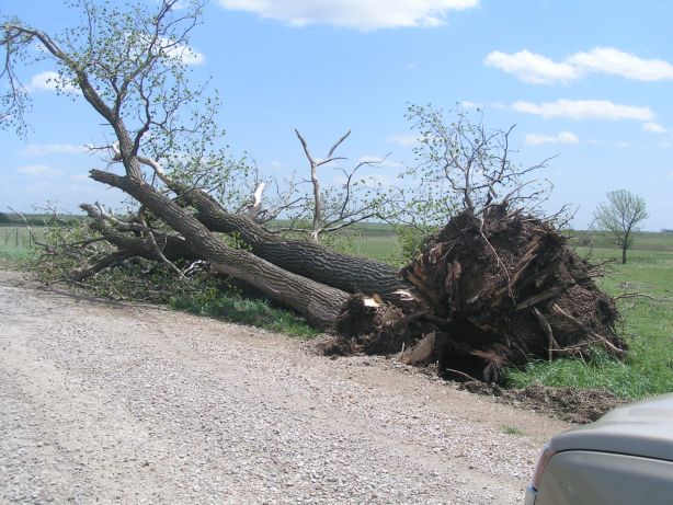
This storm produced straight line winds around 100 mph that leveled barns, caused roof damage and blew down power poles across Northern Greenwood County. The image below is a map of where the 100 mph straight line winds caused damage over Greenwood County.
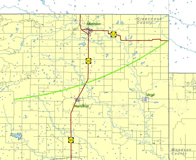 Map showing the damage path of 100mph straight line winds. |
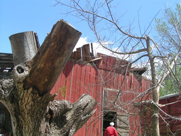
Damage from the 100 mph straight line winds
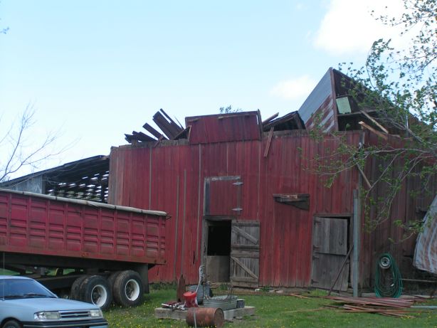 Straight line wind damage from 1 mile west of Hamilton. |
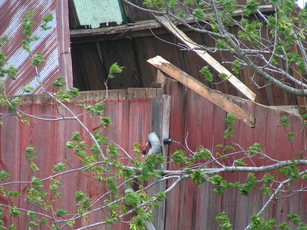 Straight line wind damage from 1 mile west of Hamilton. |
 Straight line wind damage from 4 miles west of Hilltop. |
 Straight line wind damage from 4 miles west of Hilltop. |
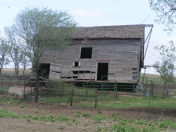 Straight line wind damage from 3 miles west of Hilltop. |
 Straight line wind damage from 2 miles west of Hilltop. |
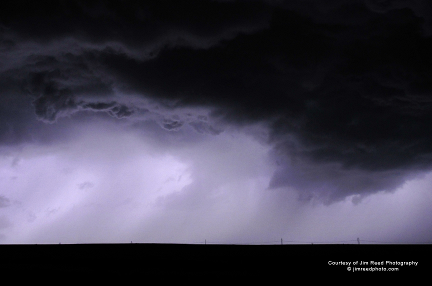
Storm Pictures
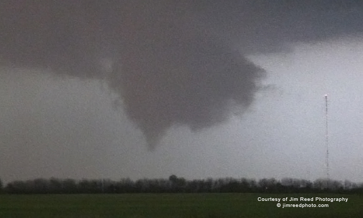 Wall cloud and funnel at 7:40 pm south of Fredonia |
 Severe storm as it approached Eureka at around midnight. |