Wichita, Kansas
Weather Forecast Office
Morning Severe Storms Blow Through Central Kansas!
|
Monday morning, August 10, brought a wet and windy start to the work week as a cluster of storms moved over Central Kansas. Strong, damaging winds where the main threat from this system. These storms originated from the outflow of Colorado storms that occurred Sunday evening and had an eastward propagation across the state of Kansas. They were able to maintain their structure due to an upper level disturbance aloft, as well as a good amount of shear, instability, and moisture in the area.
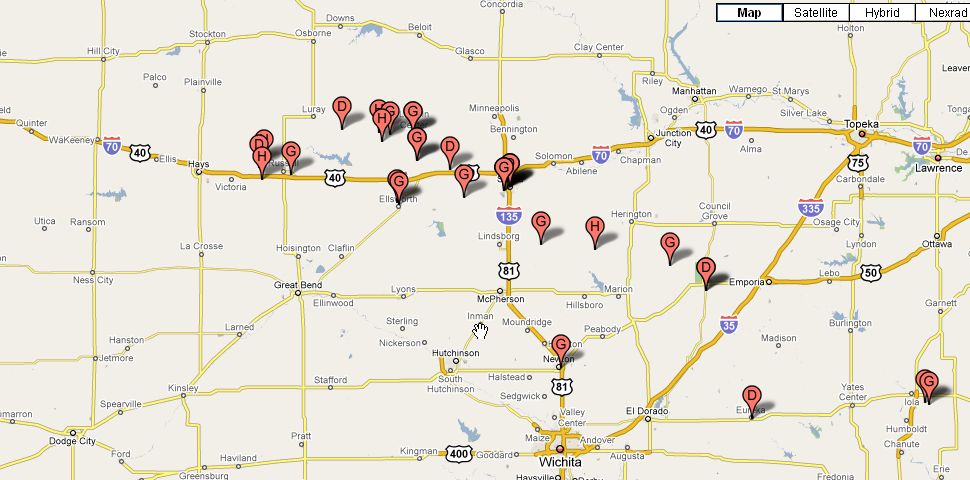
Map of Hail(H), Wind Gusts(G) and Wind Damage(D) reports.
|
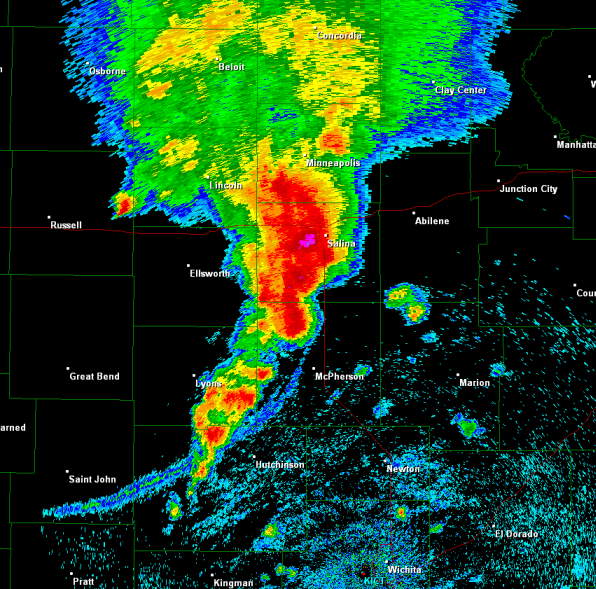
Radar image from around 1120 am on August 10th 2009.
|
 Vehicle at the corner of Republic and Cherokee near Sunset Elementary School in Salina. Picture courtesy of KSN. |
 Trees on top of power lines in Salina. Picture courtesy of KSN. |
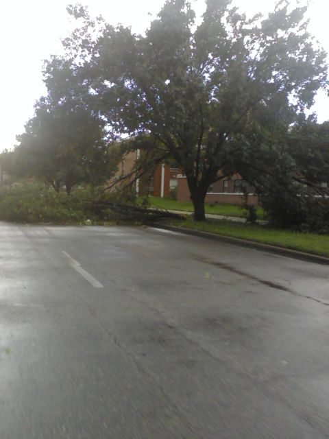
 Entire tree blocking Pueblo near Republic in Salina. Picture courtesy of KSN. |
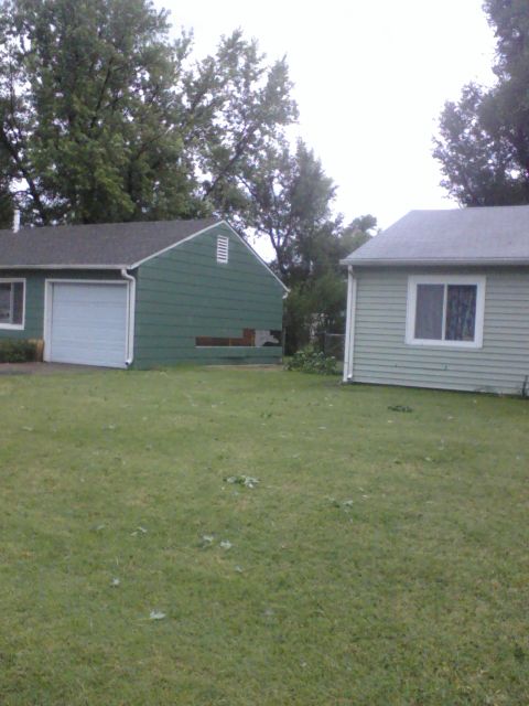 House on Arapahoe Dr. lost siding due to high winds. Picture courtesy of KSN. |
 Tree down South of Crawford near Wilson Street. Picture courtesy of KSN. |
 Tree uprooted near Wilson Street. Picture courtesy of KSN. |
 Tree down, KWU Campus. Picture courtesy of KSN. |
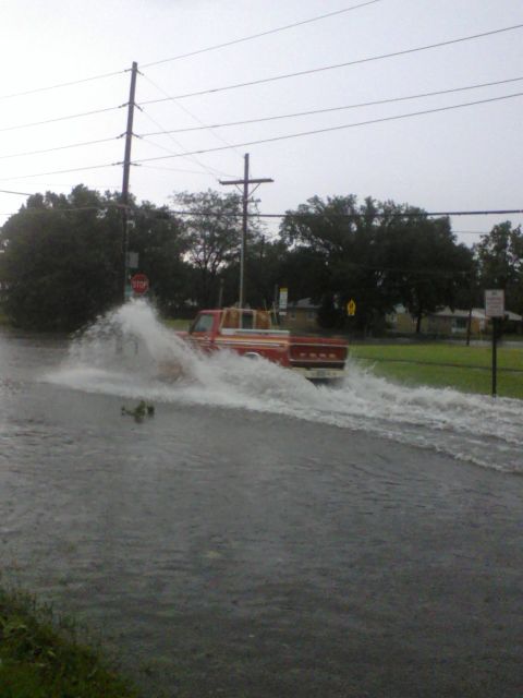
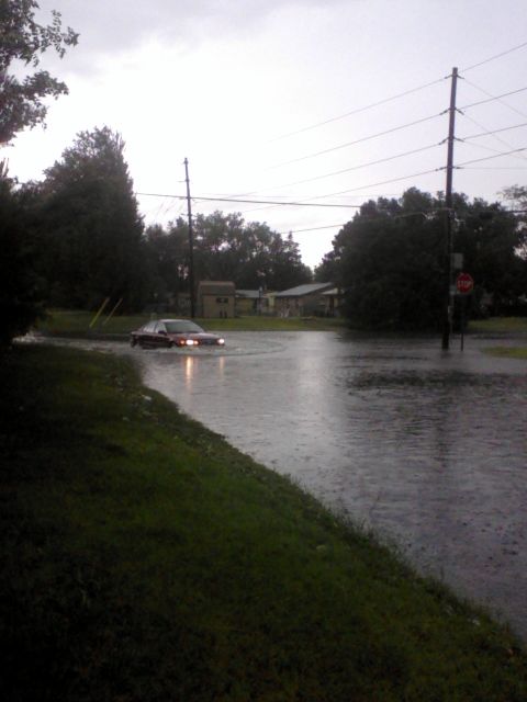
 Flooding near Kansas Wesleyan University. Picture courtesy of KSN. |
 The Steeple atop the First Southern Baptist Church, Salina, Ks. Picture courtesy KSN. |
 Vehicle at the corner of Republic and Cherokee. Picture courtesy of KSN. |
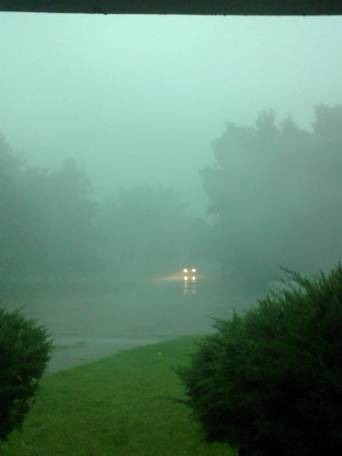 Torrential rain in Salina. Picture courtesy of KSN. |
|
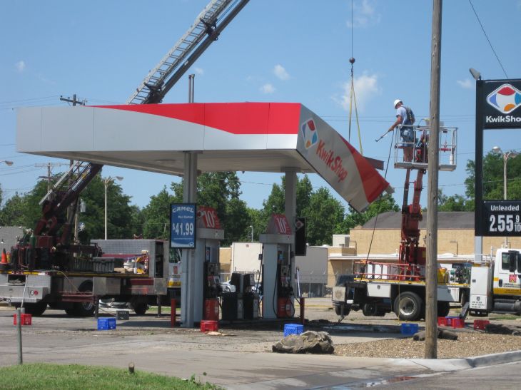
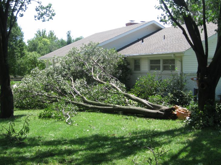
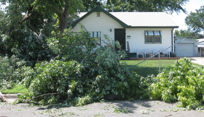
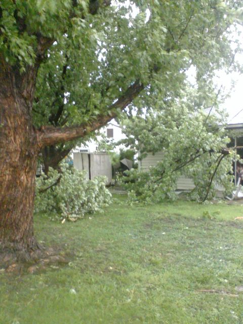
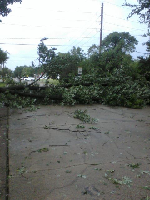
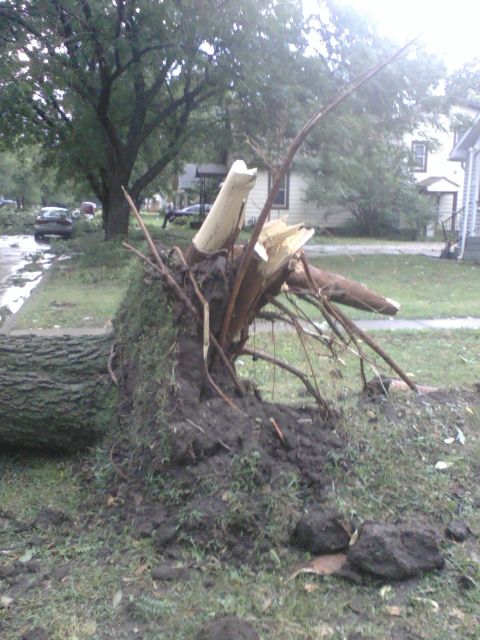
Image of wind damage in Salina. Picture by Steve Olson. |
Image of wind damage in Salina. Picture by Steve Olson. |
|
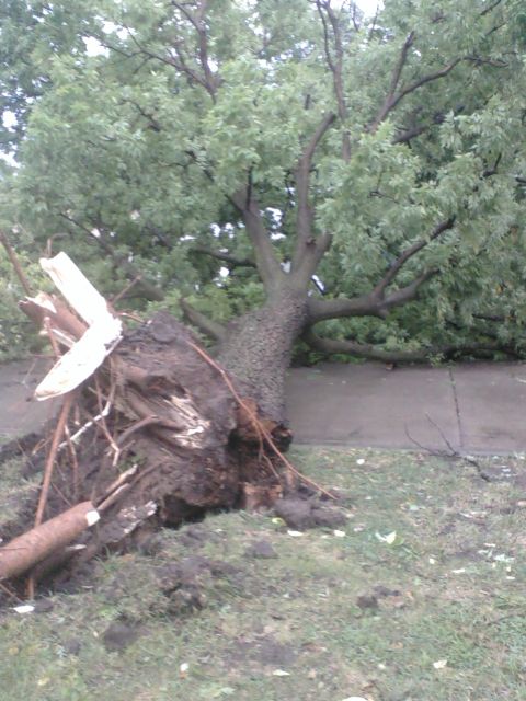
Image of wind damage in Salina. Picture by Steve Olson. |
Image of wind damage in Salina. Picture by Steve Olson. |
Hazards
Briefing pages
Local weather story
Submit a storm report
Storm Prediction Center
Enhanced Hazardous Weather Outlook
Current Conditions
Local Radar
National Radar
Satellite
Hourly weather(text)
Precip Analysis
Snowfall analysis
This day in weather history
7 Day Lightning Archive
Forecasts
Forecast Discussion
Weather Story
Fire Weather
Activity Planner
Aviation Weather
Soaring Forecast
Hurricane Center
Graphical Forecasts
Regional Weather Summary
Probabilistic Snow
Probabilistic QPF
Wet Bulb Globe temp
Climate
Local Climate Page
Daily/Monthly data(F6)
Daily Records
Climate Normals
Local drought page
Latest Climate Report(ICT)
Latest Climate Report(SLN)
Latest Climate Report(CNU)
CoCoRaHS
7 Day Lightning Archive
US Dept of Commerce
National Oceanic and Atmospheric Administration
National Weather Service
Wichita, Kansas
2142 S. Tyler Road
Wichita, KS 67209-3016
316-942-3102
Comments? Questions? Please Contact Us.