Overview
Two rounds of storms went through central Indiana on May 26, 2024. The second round produced an EF-2 tornado in Knox County.
Tornadoes:
|
Tornado - Decker, IN
Track Map 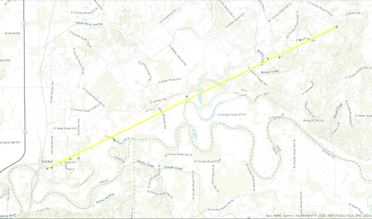 
Downloadable KMZ File |
||||||||||||||||
The Enhanced Fujita (EF) Scale classifies tornadoes into the following categories:
| EF0 Weak 65-85 mph |
EF1 Moderate 86-110 mph |
EF2 Significant 111-135 mph |
EF3 Severe 136-165 mph |
EF4 Extreme 166-200 mph |
EF5 Catastrophic 200+ mph |
 |
|||||
Radar
Header
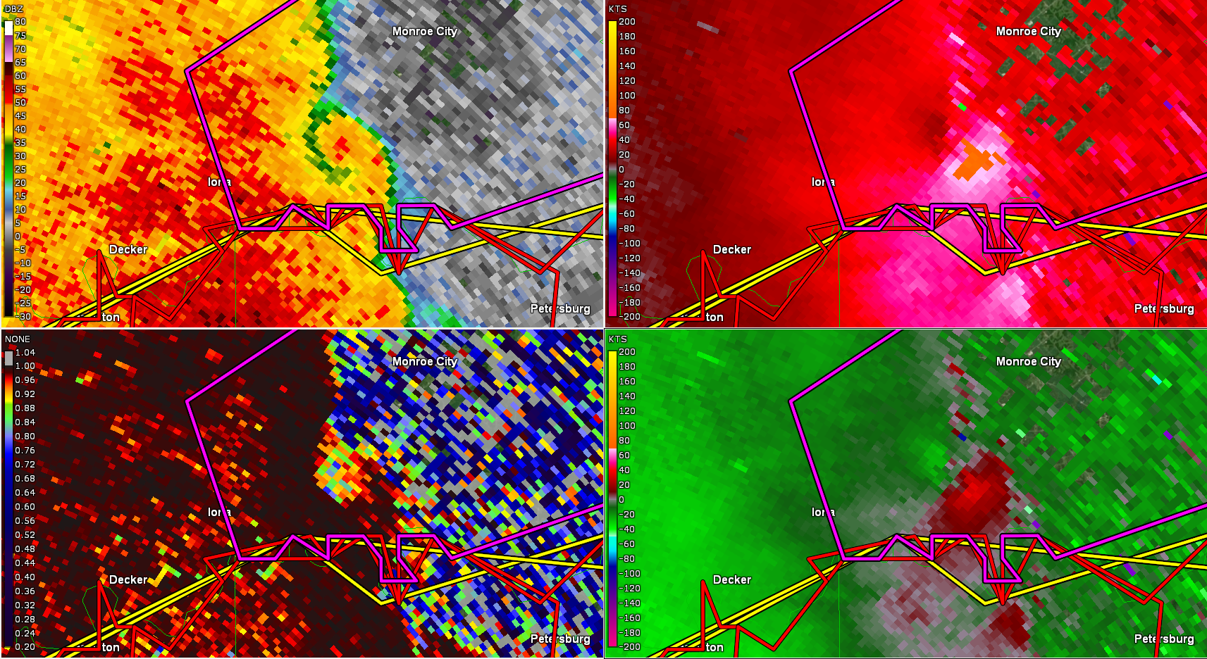 |
| KVWX - Radar image of Knox County tornado at 9:58 PM EDT |
Photos
 |
 |
 |
 |
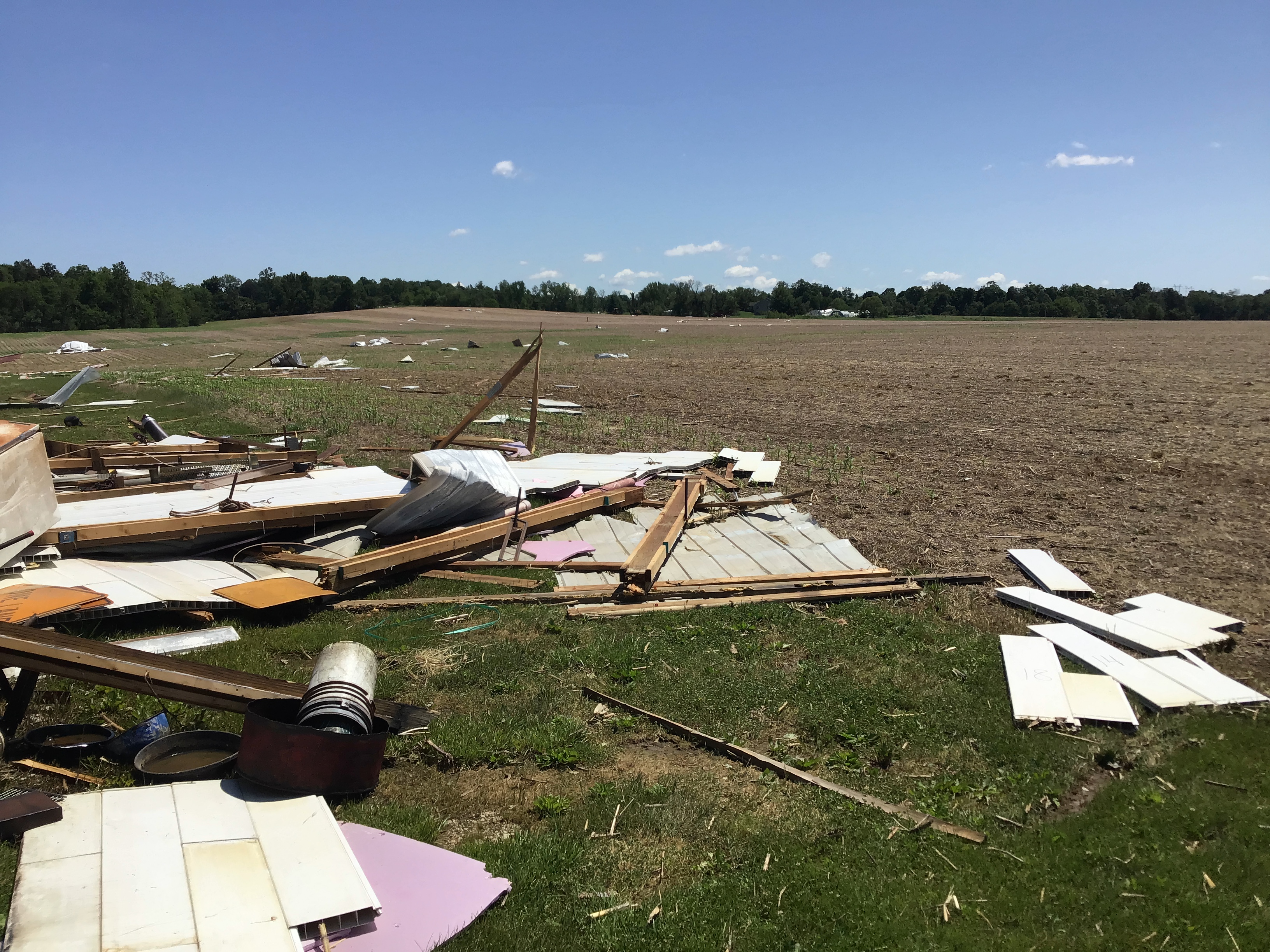
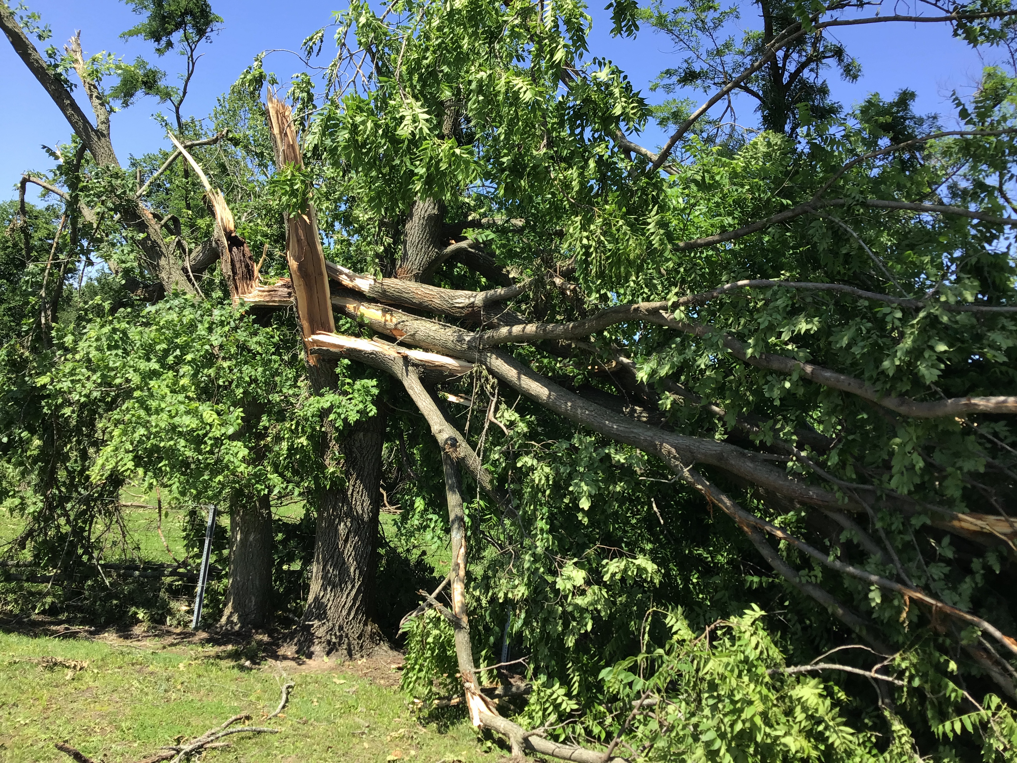
| Damaged Structure near Monroe City (NWS Storm Survey) | Debris from Damaged Structure near Monroe City (NWS Storm Survey) | Snapped Trees near Decker (NWS Storm Survey) |
Debris Across Field near Decker (NWS Storm Survey) |
Storm Reports
..TIME...   ...EVENT...      ...CITY LOCATION...     ...LAT.LON...
..DATE...   ....MAG....      ..COUNTY LOCATION..ST.. ...SOURCE....
            ..REMARKS..


1115 AM     Tstm Wnd Dmg     Coalmont                39.19N 87.23W
05/26/2024                   Clay               IN   Emergency Mngr

            Several downed Trees. Power lines down. Time
            estimated via radar.
1246 PM     Tstm Wnd Gst     Indianapolis Int`l Airp 39.72N 86.29W
05/26/2024  M55 MPH          Marion             IN   ASOS

0830 PM     Hail             3 E Vincennes           38.68N 87.46W
05/26/2024  E0.75 Inch       Knox               IN   Trained Spotter

1000 PM     Tstm Wnd Dmg     Monroe City             38.61N 87.35W
05/26/2024                   Knox               IN   Amateur Radio

            Power out across city.

1010 PM     Tstm Wnd Dmg     Bruceville              38.76N 87.41W
05/26/2024                   Knox               IN   Emergency Mngr

            Tree fell on home, occupants trapped inside.
1056 PM     Hail             Columbus                39.21N 85.91W
05/26/2024  E0.70 Inch       Bartholomew        IN   Trained Spotter

1102 PM     Flood            3 N Monroe Reservoir    39.11N 86.43W
05/26/2024                   Monroe             IN   Public

            Report from mPING: River/Creek overflowing;
            Cropland/Yard/Basement Flooding.
 |
Media use of NWS Web News Stories is encouraged! Please acknowledge the NWS as the source of any news information accessed from this site. |
|

