
Showers and thunderstorms are expected across the southern and eastern US this week, with heavy rain and localized flooding, particularly near the Gulf Coast. Monsoonal moisture will bring rain and potential flooding to parts of the Southwest. Heat and fire weather threats will continue to impact the West. Read More >
Last Map Update: Tue, Jul 1, 2025 at 1:30:09 am PDT

|
Text Product Selector (Selected product opens in current window)
|
|


 Graphical Hazards Outlook
 RADAR and Satellite
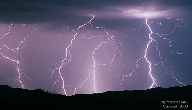 Lightning Climatology
 Precipitation Tracker
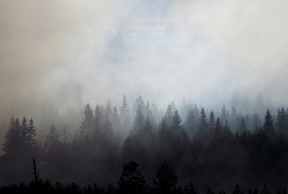 Smoke and Wildfire Safety
 Forecast Discussion
 Avalanche Guidance
 NESDIS Geocolor
 Weather Map
 Forecast Weather Tables
 Marine
 Fire Weather
 Crater Chronicle and Monthly Climate Summaries
 GOES 18 Water Vapor Imagery
 Mountain Pass Forecasts
 Local Climate Data