
Banner image courtesy Mark Anderton
Event Summary
A powerful spring storm system brought a multi-day severe weather outbreak across a large portion of the country during the April 27-30 timeframe. This outbreak started across the Central Plains on the 27th and slowly migrated eastward over the following two days. A large tornado outbreak occurred across the Lower MS River & TN River Valleys on the 28th. The event was capped on the 30th with additional severe weather and a historic flash flooding/heavy rain event along the AL, FL gulf coast where rainfall totals peaked between 15-25 inches!
Across the NWS Jackson, MS forecast area, the tornado outbreak on the 28th was the main event. This event was driven by a classic severe weather pattern with a strong fast moving jet stream and a deep surface cyclone over the central plains. These features helped to produce strong wind shear in the atmosphere which in turn combined with rich gulf moisture and setup a volatile atmospheric mix. Multiple supercell thunderstorms developed during the afternoon/evening and produced many instances of damaging wind and large hail along with multiple tornadoes. The most devastating tornado was the EF-4 which tore a path across NE Leake, the corners of Attala/Neshoba counties, and through the heart of Winston County where the city of Louisville was especially hard hit. This tornado was on ground for 34.3 miles and resulted in 10 fatalities and many injuries (official total unknown at this time). Other hard hit counties were Lowndes, Rankin, Hinds, Scott, Newton, Montgomery, Warren and Jones. Each of these counties experienced at least one tornado, some multiple tornadoes. Overall, 21 tornadoes have been confirmed across the forecast area. Of these tornadoes, 3 were rated EF-3, 3 rated EF-2, 12 rated EF1 and 2 rated EF-0. Below is a table that has more specific information on each tornado.
Regional Impacts
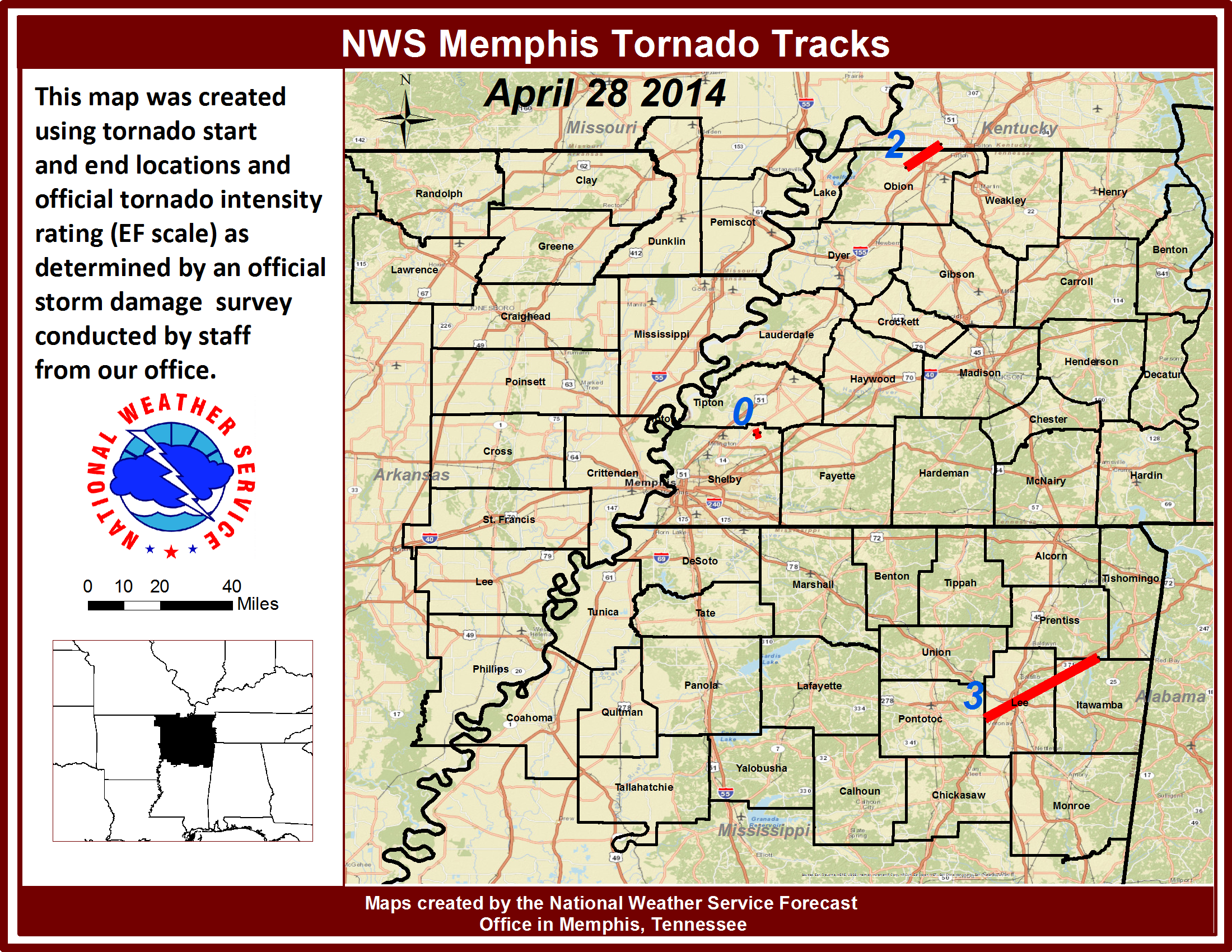
Tornado Track Maps
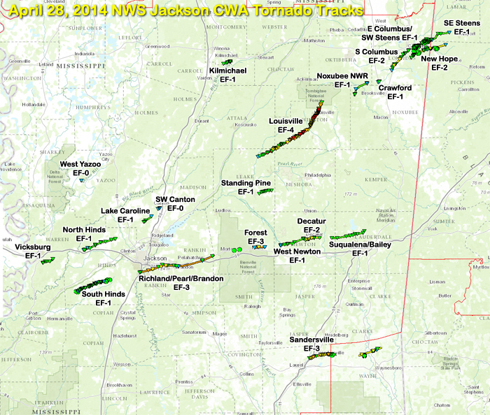
Click on map above to see entire event tracks and damage point notation.
Survey Information - Click on the location in the table for additional maps and details
| Location | Start/ End Time |
Event Type | Fatalities/ Injuries |
Path Length | Path Width |
| Yazoo County 7 SE Holly Bluff |
1:57 pm - 1:57 pm |
EF-0 Tornado 70 mph |
none | 1/4 mile | 50 yards |
| Montgomery County 7 SSE Winona to 3 WSW Kilmichael |
2:51 pm - 2:56 pm |
EF-1 Tornado 110 mph |
none | 3.3 miles | 100 yards |
| Leake, Neshoba, Attala, and Winston counties 2 NE Renfroe to 5 NNE Louisville |
3:51 pm - 4:47 pm |
EF-4 Tornado 185 mph |
Deaths: 10 Injuries: 84 |
34.3 miles | 3/4 mile |
| Warren County 4.5 S Vicksburg to 5.25 SE Vicksburg |
4:55 pm - 5:05 pm |
EF-1 Tornado 105 mph |
Injuries: 1 | 4.75 miles | 200 yards |
| Hinds County 1.5 N Edwards to 6.25 NNW Clinton |
5:20 pm - 5:42 pm |
EF-1 Tornado 110 mph |
none | 13.75 miles | 500 yards |
| Noxubee and Oktibbeha counties 7 SSW Oktoc to 4 W Crawford |
5:14 pm - 5:29 pm |
EF-1 Tornado 105 mph |
none | 7.5 miles | 100 yards |
| Lowndes County Crawford |
5:39 pm - 5:41 pm |
EF-1 Tornado 90 mph |
none | 0.67 miles | 100 yards |
| Hinds County 2 NW Utica to 4 NNW Dry Grove |
5:48 pm - 6:05 pm |
EF-1 Tornado 105 mph |
none | 10.9 miles | 300 yards |
| Lowndes County 6 NNE Crawford to 2 SSW Columbus |
5:53 pm - 6:15 pm |
EF-2 Tornado 130 mph |
none | 10.4 miles | 300 yards |
| Madison County 6 NW Madison to 6 NNW Madison |
6:00 pm - 6:06 pm |
EF-1 Tornado 105 mph |
none | 3.75 miles | 200 yards |
| Lowndes County 1 SE Columbus to 2 SSE Steens |
6:08 pm - 6:19 pm |
EF-1 Tornado 105 mph |
none | 6.3 miles | 250 yards |
| Madison County 3 SW Canton to 2 SW Canton |
6:13 pm - 6:14 pm |
EF-0 Tornado 80 mph |
none | 1.0 mile | 75 yards |
| Lowndes County 3 SSE Steens to 3 SE Steens (continues into AL) |
6:18 pm - 6:21 pm |
EF-1 Tornado 105 mph |
none | 1.9 mi (in MS) | 100 yards |
| Hinds, Rankin, and Scott counties 3 W Richland to 4.5 E Pelahatchie |
6:27 pm - 7:15 pm |
EF-3 Tornado 155 mph |
Deaths: 1 Injuries: 10 |
30.1 miles | 400 yards |
| Lowndes County 5 S Columbus to 4 NE New Hope (continues into AL) |
6:38 pm - 6:54 pm |
EF-2 Tornado 115 mph |
none | 8.3 mi (in MS) | 300 yards |
| Leake County 4 W Madden to 1 NNE Madden |
7:08 pm - 7:19 pm |
EF-1 Tornado 110 mph |
none | 5.2 miles | 100 yards |
| Scott County 2 E Forest to 3.5 WNW Lake |
7:36 pm - 7:44 pm |
EF-3 Tornado 140 mph |
Deaths: 0 Injuries: 3 |
4.2 miles | 150 yards |
| Newton County 4 NE Lake to 2 SW Decatur |
7:58 pm - 8:12 pm |
EF-1 Tornado 110 mph |
none | 9.75 miles | 150 yards |
| Newton County 1 SE Decatur to 5 E Decatur |
8:12 pm - 8:31 pm |
EF-2 Tornado 125 mph |
none | 6.2 miles | 400 yards |
| Newton and Lauderdale counties 6.5 W Suqualena to Bailey |
8:35 pm - 8:55 pm |
EF-1 Tornado 105 mph |
none | 13.7 miles | 100 yards |
| Jones County 5 SW Sandersville to 5 E Sandersville (continues into Wayne Co) |
9:39 pm - 9:52 pm |
EF-3 Tornado 145 mph |
Deaths: 0 Injuries: 15 |
8.9 miles | 1/2 mile |
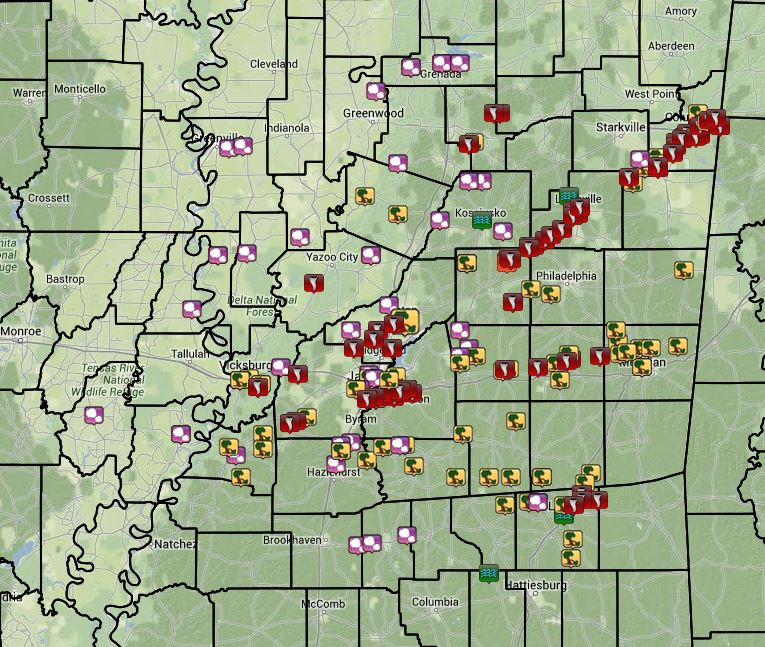
Local Storm Reports
Click on the map below for additional details.

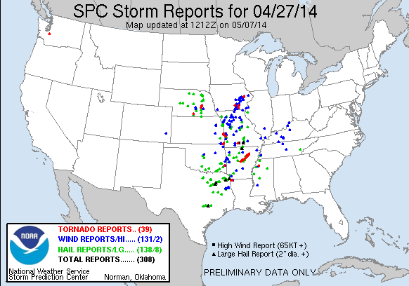
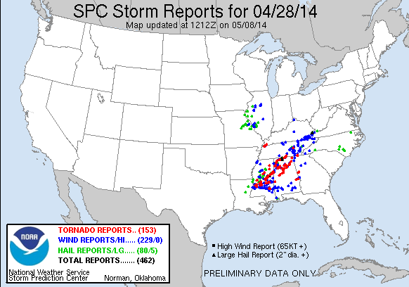
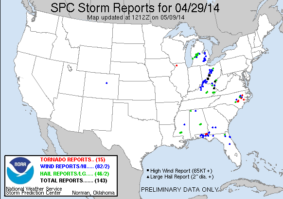
National Reports
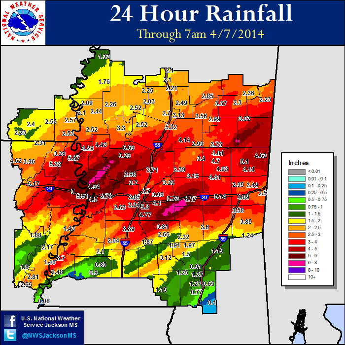
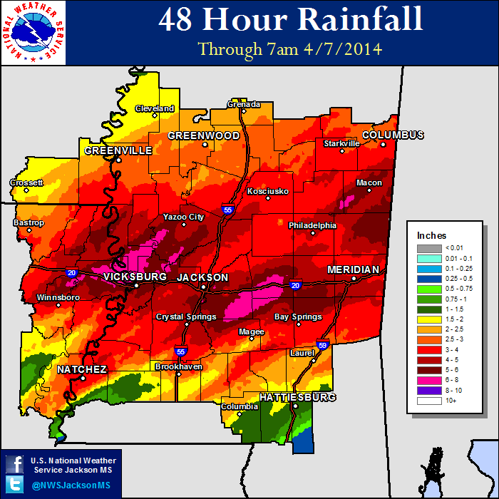
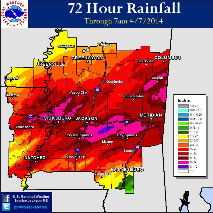
Rainfall Totals

