
Deep tropical moisture will lead to widespread showers and thunderstorms capable of producing flash flooding through early next week over the Southwest and Four Corners. A coastal storm is expected to develop off the southeast U.S. coast tonight and is expected to strengthen and bring flooding, dangerous rip currents, gusty winds and heavy rain up much of the East Coast through early next week. Read More >
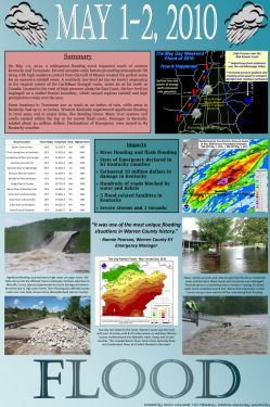
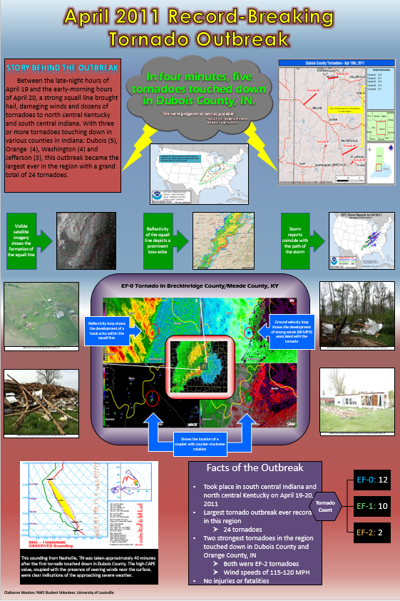
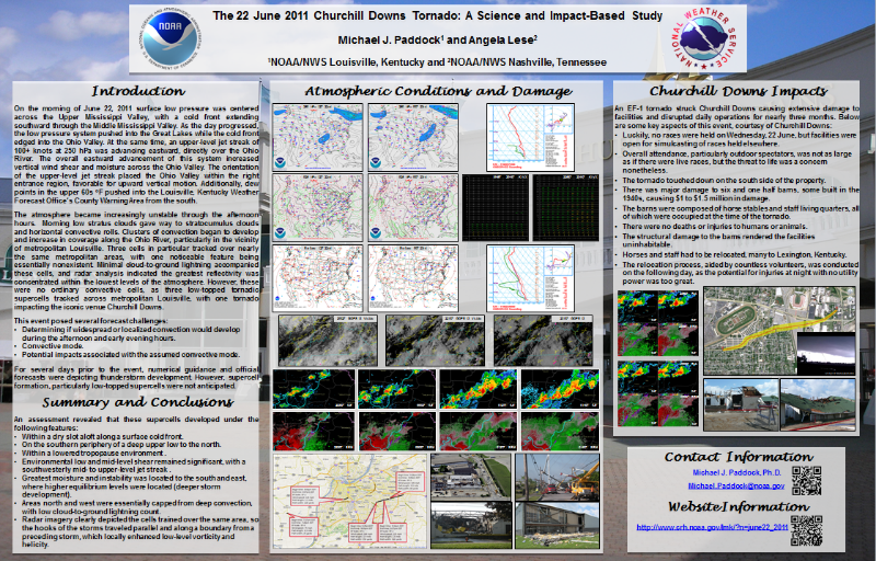
Welcome to NWS Louisville's educational and outreach materials webpage. Here you can download locally-created posters and brochures filled with information pertinent to our area. If you have any questions, feel free to email us. All of these documents are in PDF format. Note that most of these files are fairly large in size so they may take a few moments to download.
| 2024 | 2023 | 2022 | 2021 | 2020 | 2019 |
 |
 |
 |
 |
 |
 |
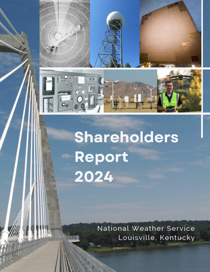
Shareholders Reports back to 2005 available upon request, or by accessing the 2024 report, going to page 15, and clicking on the appropriate thumbnail.
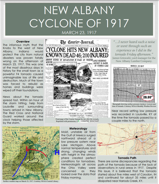 1917 New Albany Cyclone |
|||
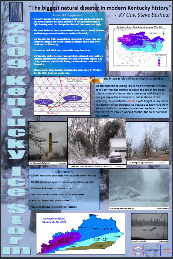
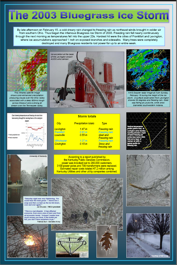 Lexington Ice Storm Poster |
|||
|
|
 |
 |
 |
 |
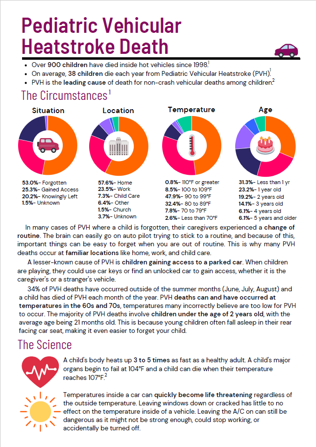
| Pediatric Vehicular Heatstroke Death (click image for pdf) |
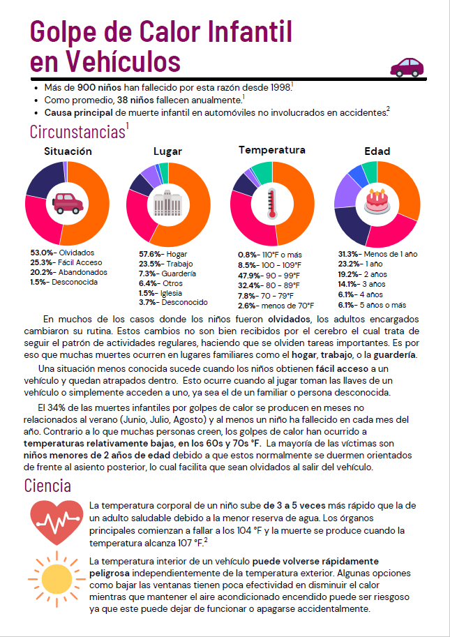
Muerte por golpe de calor vehicular pediátrico en español (haga clic en la imagen para pdf) |
||
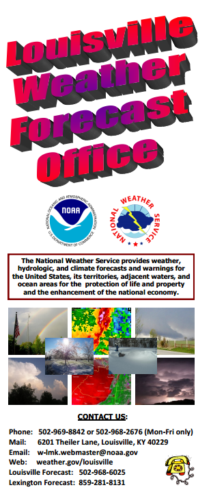 NWS Louisville Office |
|
||
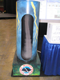 Tornado Machine Construction |
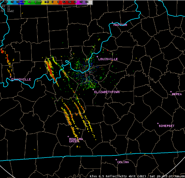 Chaff on Radar - Jan 2006 |
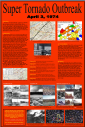
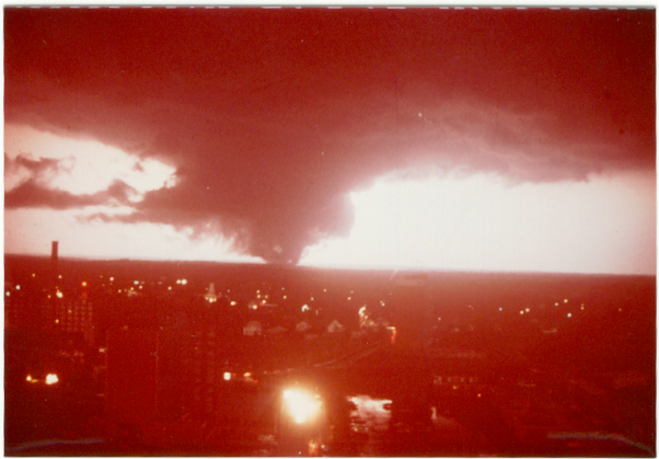 Apr 3, 1974 Tornado Outbreak |
 Cold Temps and Frost 12/8/06 |


 Weather Story
 Weather Map
 Local Radar