Louisville, KY
Weather Forecast Office
Though we had temperatures in August that were typical for the month, June and July were warmer than normal and ended up tilting the summer as a whole warmer than normal. In fact, this ended up being a top ten warm summer in Bowling Green, Lexington, and Louisville. Part of that warmth was due to the dry conditions that settled into the region in mid-June and intensified into July. Moderate drought developed in late June and peaked in mid-July. The hardest hit area was between Leitchfield, Elizabethtown, Hodgenville, and Munfordville where the drought became severe. Widespread rains in late July broke the drought and all five climate sites in central Kentucky actually ended up with a wetter than normal July.
| Average Temperature | Departure from Normal | Precipitation | Departure from Normal | |
| Bowling Green | 79.6° | +1.5° | 10.23" | -2.45" |
| Frankfort | 76.2° | +0.5° | 12.84" | +0.66" |
| Lexington | 77.2° | +2.0° | 12.83" | -0.96" |
| Louisville Ali | 79.8° | +1.4° | 13.17" | +1.14" |
| Louisville Bowman | 78.0° | +0.8° | 12.51" | -0.26" |
6th warmest summer at Louisville
7th warmest summer at Bowling Green and Lexington
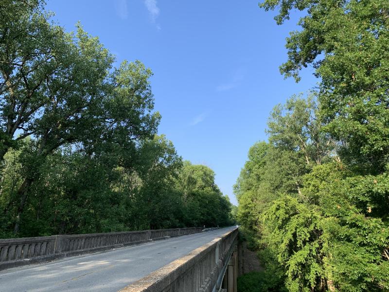
A mostly sunny July day on US 62 over Rolling Fork between Nelson and Hardin Counties
Current Hazards
Hazardous Weather Outlook
Storm Prediction Center
Submit a Storm Report
Advisory/Warning Criteria
Radar
Fort Knox
Evansville
Fort Campbell
Nashville
Jackson
Wilmington
Latest Forecasts
El Nino and La Nina
Climate Prediction
Central U.S. Weather Stories
1-Stop Winter Forecast
Aviation
IDSS Forecast Points
Air Quality
Fire Weather
Recreation Forecasts
1-Stop Drought
Event Ready
1-Stop Severe Forecast
Past Weather
Climate Graphs
1-Stop Climate
CoCoRaHS
Local Climate Pages
Tornado History
Past Derby/Oaks/Thunder Weather
Football Weather
Local Information
About the NWS
Forecast Discussion
Items of Interest
Spotter Training
Regional Weather Map
Decision Support Page
Text Products
Science and Technology
Outreach
LMK Warning Area
About Our Office
Station History
Hazardous Weather Outlook
Local Climate Page
Tornado Machine Plans
Weather Enterprise Resources
US Dept of Commerce
National Oceanic and Atmospheric Administration
National Weather Service
Louisville, KY
6201 Theiler Lane
Louisville, KY 40229-1476
502-969-8842
Comments? Questions? Please Contact Us.


 Weather Story
 Weather Map
 Local Radar