
Scattered thunderstorms with severe gusts, hail and a tornado risk are possible near a cold front from the Ohio Valley to the Mid-Atlantic tonight. Tropical Storm Bertha is expected to bring tropical storm conditions to portions of the Gulf Coast from the panhandle of Florida into Louisiana through Wednesday. Read More >
|
Isolated to Scattered Storms Visit |
|
 |
|
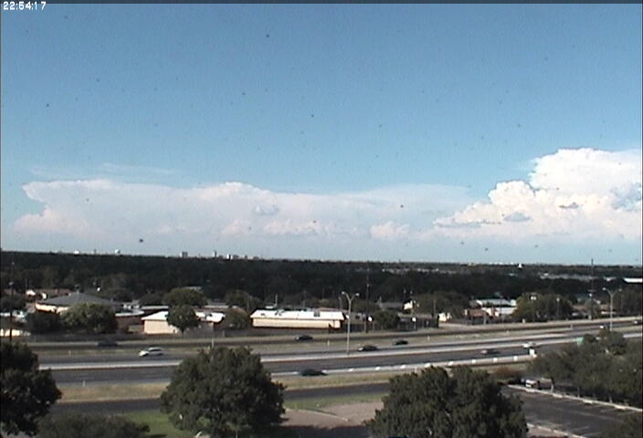
| Scattered thunderstorms develop to the north of Lubbock on the afternoon of August 11th, 2010. | |
| The middle of August was occasionally a stormy one for many locations across the South Plains region. Although the upper level pattern was not particularly favorable for widespread precipitation, several subtle low-level boundaries were enough, when combined with strong daytime heating, to produce a number of rounds of isolated to scattered thunderstorms through the middle of August 2010. | |
 |
|
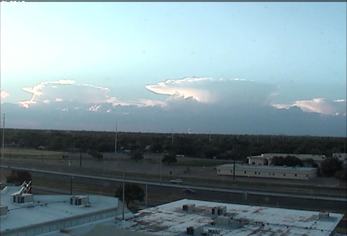
| A couple of thunderheads to the northwest of Lubbock during the evening of August 13th, 2010. | |
|
The relatively weak middle and upper level winds generally kept the storm organization and strength on the tame side, which is not uncommon during the heart of the summer on the South Plains. However, the strong summer sun and resulting hot temperatures were enough to produce occasional strong and isolated severe storms during the late afternoon and evening hours on many of the days. The most intense storms produced strong downburst winds and small hail, in addition to intense lightning and locally heavy rains. |
|
 |
|
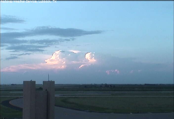
| Thunderstorms well to the north of the Lubbock Airport during the evening of August 14th, 2010. | |
| The activity peaked in intensity and coverage as an upper level disturbance grazed by the area on August 16th and 17th. The wind shear and upper level support increased just enough to allow for modest storm organization. If fact, one storm over rural portions of northeastern Castro Country briefly became well organized and exhibited strong middle and low level rotation on radar during the late afternoon of the 16th. This prompted the issuance of a tornado warning. After a short intense phase the storm quickly weakened. As of this writing, no first hand accounts of the storm were available to verify whether or not this storm produced a tornado. | |
|
|
 |
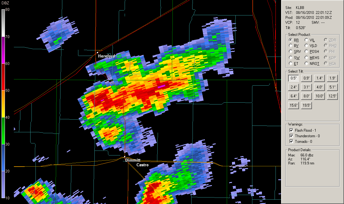
| Radar depiction of the rotating storm in northeast Castro County around 5 pm on August 16th. The left (right) image is the reflectivity (velocity) at 0.5 degrees elevation as viewed from the Lubbock National Weather Service Doppler radar. Click on the images for larger views. | |
|
On August 17th, scattered pulse-type storms were the mode of the day. These pulse storms developed very quickly, but did not last long before weakening. Still, during the height of their intensity, the stronger storms produced damaging outflow winds. Much of the damage from the briefly severe storms was relatively minor, though one storm did fall a tree near Idalou, and another downed several utility lines south of Paducah. A collapsing storm also produced a wind gust measured to 77 mph near Aspermont, though known damage was limited. To read a story by the West Texas Mesonet about the strong winds near Aspermont CLICK HERE. |
|
 |
|
| Thunderstorms developing west of Lubbock during the evening of August 15th, 2010. | |
|
Another isolated but severe storm struck near Brownfield on the 20th, when a wind gust to 70 mph was recorded by the West Texas Mesonet site located just south of town. The West Texas Mesonet also produced a story on this storm that can be found HERE. |
|
|
|
|
| 14 day observed precipitation, as estimated by radar and corrected via ground-based rain gauges. The rain total is through 7 am on August 23, 2010. Click on the image for a larger view. | |
| The other story was the rain that the rounds of storms brought to the region. Though precipitation on any given day was isolated to scattered at best, over a two week period much of the South Plains region did received beneficial rainfall. As the above graphic illustrates, most locations picked up at least a half an inch, with many spots seeing an inch or more. The exception was from southwest Lubbock County through much of Lynn County, as well as over southern Yoakum County, where totals were lighter. | |


