
Canadian wildfire smoke will push into the Midwest, worsening air quality. A frontal system brings severe storms from the Northern Plains to the Mid‑Atlantic the next few days. Heavy Gulf Coast rain is possible as we closely monitor tropical development, while monsoonal storms persist in the Southwest with heavy rainfall. Hazardous heat expands from the Plains into the Lower Mississippi Valley. Read More >
Biggest takeaway:
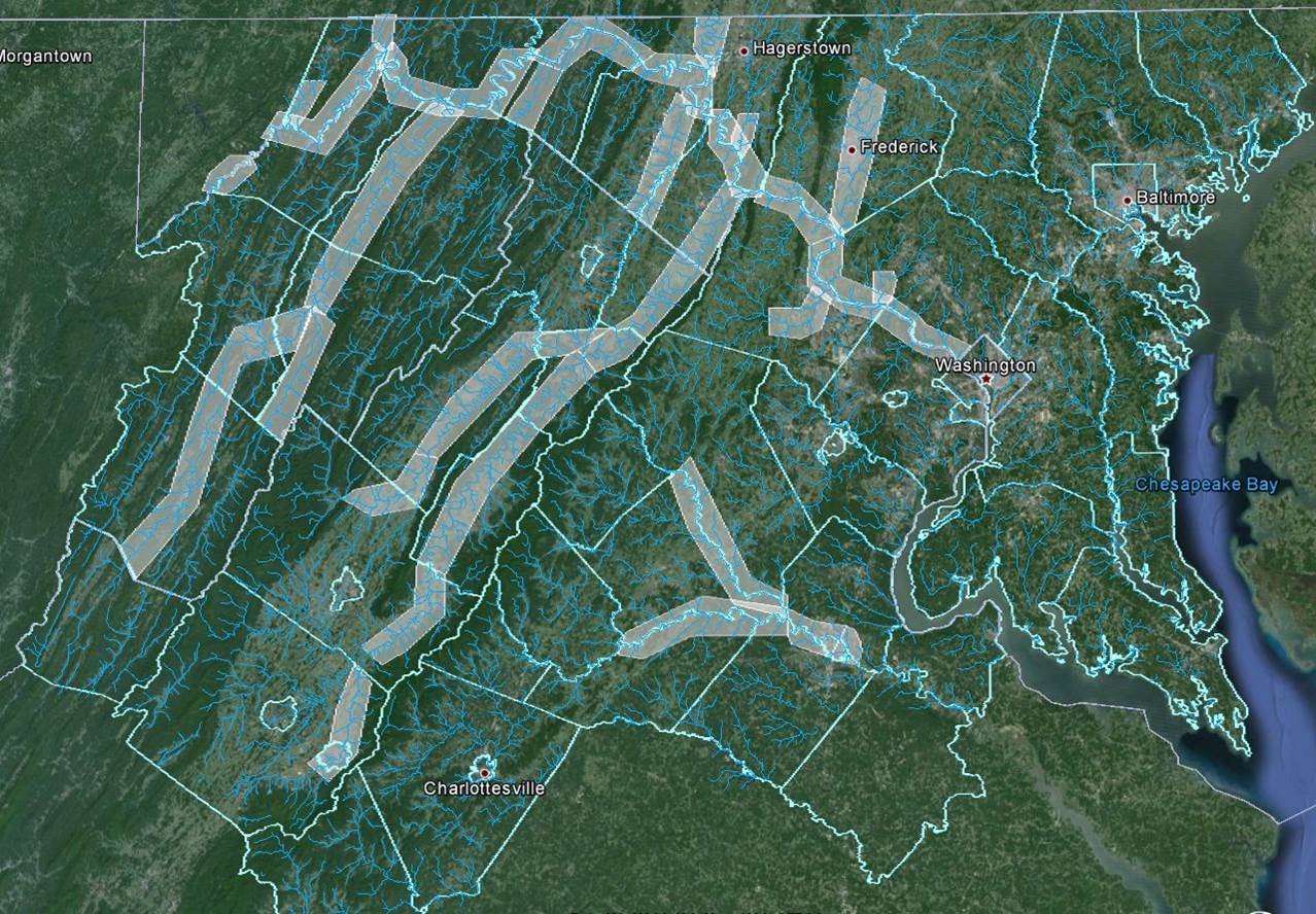
This type of flooding of major rivers is typically only a threat for those along major fresh water rivers such as the Potomac, Shenandoah, and Rappahannock – and their tributaries. The threat is categorized as minor, moderate, major, & record to help define the level of risk.
Warning/Trigger for Plan:
NWS Flood Warning for Rivers
Advance Notice/Time to Activate & Accomplish Your Planned Response:
20-60 minutes to as much as 4 days. The further downstream you are, the longer the advance notice.
Frequency:
~0-2/year for minor flooding of the lowest lying properties along the river.
Major flooding of a river is a rare event, but for those along large rivers one that needs to be planned for, given its catastrophic potential.
How Accurate Warnings?
NWS river flood warnings are very accurate, although a certain amount of leeway has to be given for the uncertainty of the exact height of the crest of a flooding river. The crest forecast accuracy is greatest once the bulk of the rain has already fallen, while the water is collecting in the headwaters. Note that rapid snowmelt upstream can also cause river flooding (Jan ‘96).


 Coastal Flood
 FAQ
FAQ