
Dangerous and extreme heat will remain across portions of the central U.S. this week, persisting across the mid to lower Mississippi Valley, Gulf Coast, southern Plains and portions of Texas. A heat wave over the Southwest U.S. will peak this weekend. Heavy to excessive rainfall may produce flash flooding from the Delmarva Peninsula north into the Hudson Valley today and tonight. Read More >
Baltimore/Washington
Weather Forecast Office
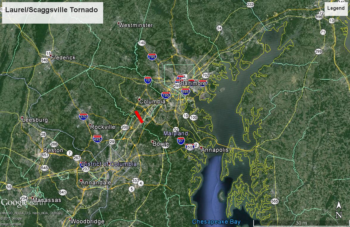
...EF-0 Tornado from Tue Sep 29th in central MD Confirmed by NWS...
Tuesday September 29th at 10:02 P.M. an EF-0 tornado touched down in Laurel MD (Prince Georges County). It continued for just over 4 miles to a point near Scaggsville MD (Howard County) before lifting 11 minutes later. More details can be found here...
https://nwschat.weather.gov/p.php?pid=201510021822-KLWX-NOUS41-PNSLWX
US Dept of Commerce
National Oceanic and Atmospheric Administration
National Weather Service
Baltimore/Washington
Weather Forecast Office Baltimore/Washington
43858 Weather Service Rd.
Sterling, VA 20166
(571) 888-3500
Comments? Questions? Please Contact Us.


 Coastal Flood
 FAQ
FAQ