While rain chances remain in the forecast, they will not be as high as the past few days. Meanwhile, temperatures will remain very warm through the middle of next week when some slightly cooler air comes back in.
Chances for scattered showers and thunderstorms remain in the forecast tonight and Saturday but to a lesser degree than what we have seen of late. Still, the atmosphere is saturated and locally heavy rain can not be discounted.
Another mild night is expected tonight with low temperatures Saturday morning only dropping into the upper 60s to lower 70s. Temperatures will warm into the mid 80s to lower 90s during the afternoon.
There remains a slight chance of seeing excessive rain leading to flash flooding over the north and northeast parts of the state. Even with the best chances of heavy rain across this part of the state, anywhere in Arkansas could see showers and storms.
Note: "N/A" or "MISG" will be displayed if values are not available. In the LOCATION column, click on links for a list of recent observations at sites of interest. In the WIND column, VRB is "variable" and G is "gust". Wind speeds are in MPH. In the BARO (pressure) column, values are in inches. In the REMARKS column, HX is "heat index", WCI is "wind chill index", and VSB is "visibility" (if shown).


















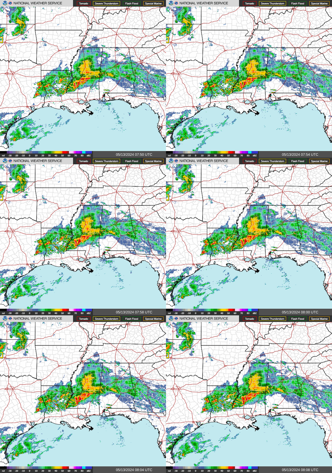 Regional Radar
 Weather Map
 Social Media Dashboard
 Follow us on X
 Follow us on Facebook
 Follow us on YouTube
 LZK RSS Feed