 |
| Product Notice |
| Please check the TIME and DATE of all products!! Click REFRESH to update page and associated maps. |
|
|
 |
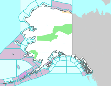
Watches, Warnings, Advisories in Arkansas and Surrounding States |
 |
|
Local Storm Reports |
|
|
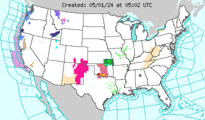
Watches, Warnings, Advisories and Statements in the U.S. |
|
| |
|
|
| Directions: Click on the map above to go to areas (i.e. National Weather Service websites) where Watches, Warnings, Advisories and Statements (i.e. hazards) exist. |
|
Convective Outlooks (U.S.) |
|
| |
| Day 1 (Today/Tonight) | Day 2 (Tomorrow/Tomorrow Night) |
| Note: General thunder (non-severe) is in light green, marginal severe storms are in dark green, a slight risk of severe thunderstorms is in yellow, an enhanced slight risk of severe storms is in orange, a moderate risk is in red and a high risk is in pink. |
| A Look Ahead: Day 3 | Days 4-8 |
| |
|
|