A Marginal Risk (1 out of 5) for severe weather remains across southern Arkansas this afternoon and evening. The primary threat expected with the strongest thunderstorms will be damaging wind gusts, with locally heavy rainfall also possible.
Looking ahead to temperatures from July 17 through July 25, the theme remains a likely chance of above normal temperatures compared to normal values across Arkansas for middle to late July.
For the 6-14 day period looking ahead, the precipitation outlook across Arkansas is expected to remain near normal to slight chances of below normal precipitation for middle into late July.
A signal for triple digit high temperatures is beginning to develop across portions of Arkansas as both an upper level ridge and surface high pressure impact the state.
Note: "N/A" or "MISG" will be displayed if values are not available. In the LOCATION column, click on links for a list of recent observations at sites of interest. In the WIND column, VRB is "variable" and G is "gust". Wind speeds are in MPH. In the BARO (pressure) column, values are in inches. In the REMARKS column, HX is "heat index", WCI is "wind chill index", and VSB is "visibility" (if shown).

















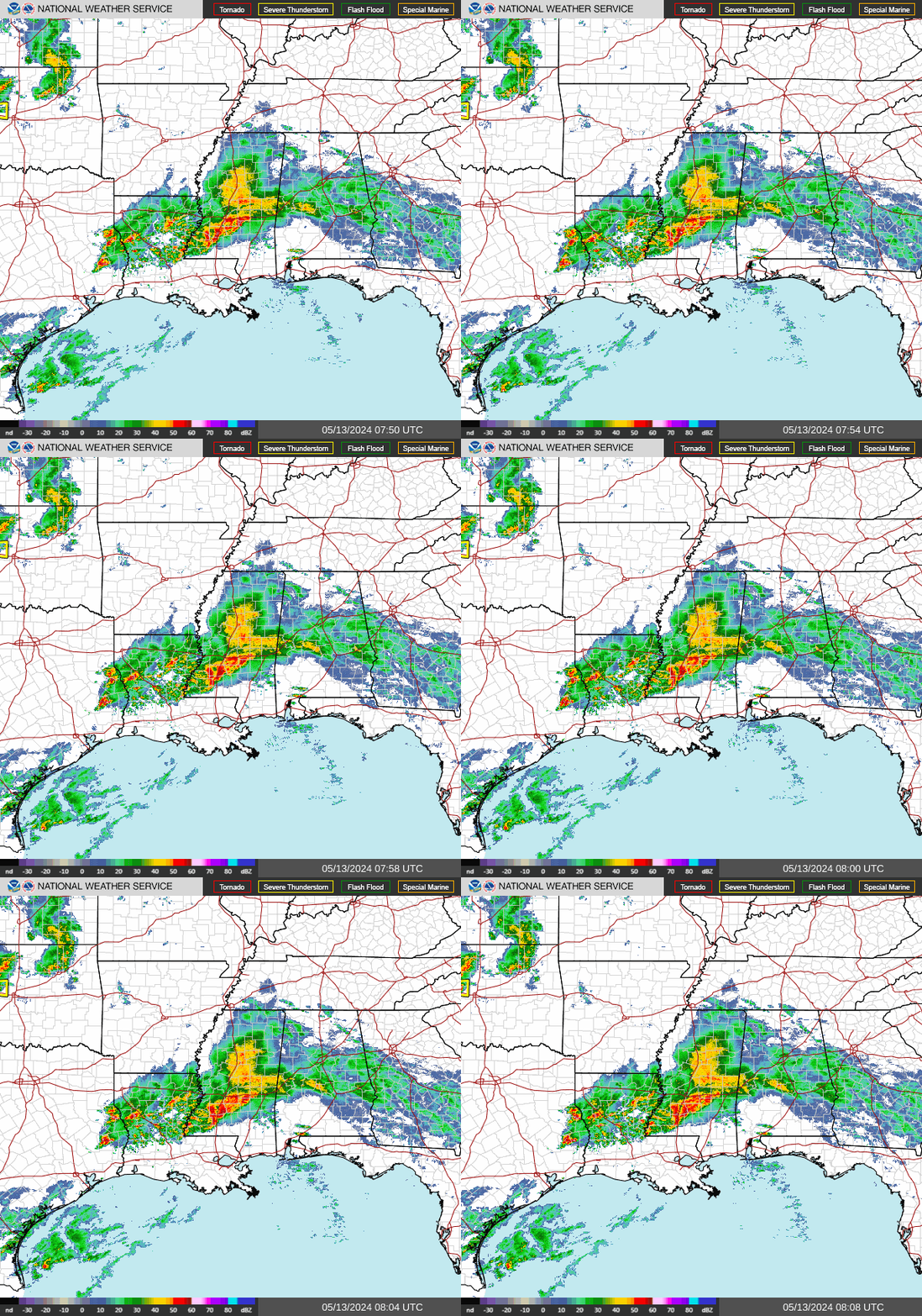 Regional Radar
 Weather Map
 Social Media Dashboard
 Follow us on X
 Follow us on Facebook
 Follow us on YouTube
 LZK RSS Feed