The potential for precipitation is increasing across the state between Thursday and Sunday. A short-wave trough is expected to move across the state late Thursday into Friday. Additionally, a stalled frontal boundary near the AR/MO border will serve as a lifting mechanism for showers and thunderstorms. On and off showers and thunderstorms will be possible into Sunday as another disturbance moves across the region. As far as rainfall totals go, northern Arkansas is the favored location for the most beneficial rainfall, with both central and southern Arkansas expecting much lower totals through the same time period.


















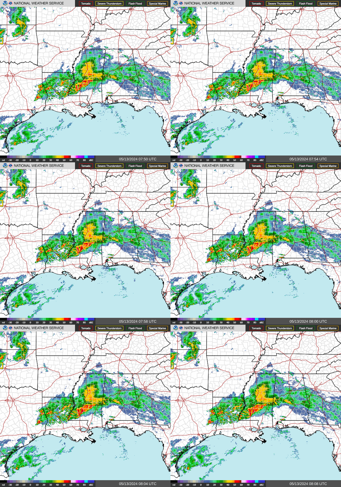 Regional Radar
 Weather Map
 Social Media Dashboard
 Follow us on X
 Follow us on Facebook
 Follow us on YouTube
 LZK RSS Feed