National Weather Service United States Department of Commerce
Click a location below for detailed forecast.

Last Map Update: Tue, Aug 18, 2026 at 6:00:17 am CDT

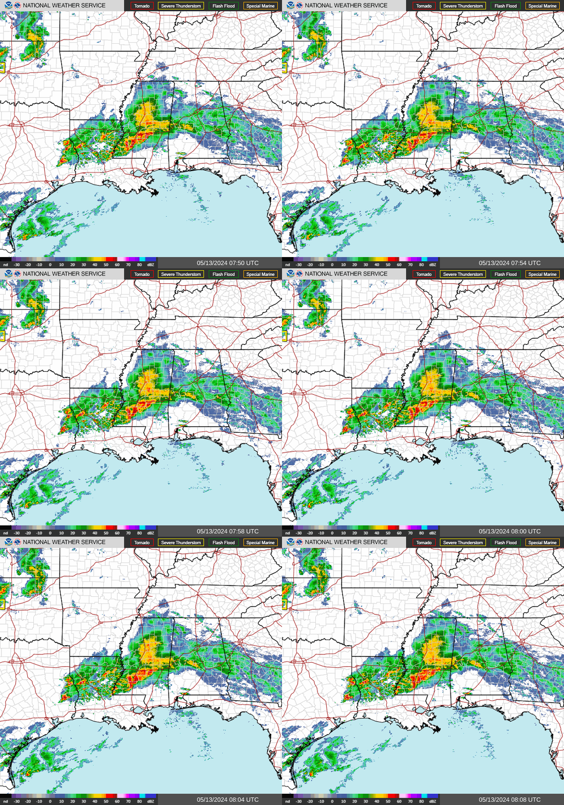
While an isolated strong to severe storm may still be possible this Tuesday, better chances for seeing severe weather will be possible on Wednesday as a new front approaches the state. The best chances for seeing any severe weather will be across northern/northeastern sections of the state during the afternoon and evening hours. The primary hazard expected will be damaging wind gusts, though an isolated tornado and marginally severe hail may also be seen. Locally heavy rainfall will also be possible.
There will be some increased chances for severe weather on Wednesday as a new front approaches the state. The best chances for seeing any severe weather will be across northern/northeastern sections of the state during the afternoon and evening hours. The primary hazard expected will be damaging wind gusts, though an isolated tornado and marginally severe hail may also be seen. Locally heavy rainfall will also be possible.
Forecast highs this afternoon will be in the low 90s to around 105. Lows tonight into Wednesday morning will be in the 70s to around 80.
Dangerous heat is expected over the next few days. The Heat Risk map shows Arkansas at a major to extreme heat risk into Thursday, with some relief expected by Friday into the weekend.
Here are the latest wildfire danger and Burn Bans as of the morning of Tuesday, August 18.
This table provides information regarding 100° statistics around the state within the Little Rock County Warning Area. Some locations have experienced many 100° days while others experienced few to none.
We're hosting an Open House in September, and you're invited! Come visit your local NWS forecast office, meet with forecasters, and interact with our partners!

 
Hourly Weather Roundup ( )
Location Sky/Weather Temp Dewpt RH Wind Baro Remarks
Fayetteville
N/A
N/A
N/A
N/A
N/A
N/A
N/A
Harrison
N/A
N/A
N/A
N/A
N/A
N/A
N/A
Mountain Home
N/A
N/A
N/A
N/A
N/A
N/A
N/A
Jonesboro
N/A
N/A
N/A
N/A
N/A
N/A
N/A
Fort Smith
N/A
N/A
N/A
N/A
N/A
N/A
N/A
Russellville
N/A
N/A
N/A
N/A
N/A
N/A
N/A
Mount Ida
N/A
N/A
N/A
N/A
N/A
N/A
N/A
Hot Springs
N/A
N/A
N/A
N/A
N/A
N/A
N/A
Little Rock
N/A
N/A
N/A
N/A
N/A
N/A
N/A
North Little Rock
N/A
N/A
N/A
N/A
N/A
N/A
N/A
West Memphis
N/A
N/A
N/A
N/A
N/A
N/A
N/A
Texarkana
N/A
N/A
N/A
N/A
N/A
N/A
N/A
El Dorado
N/A
N/A
N/A
N/A
N/A
N/A
N/A
Pine Bluff
N/A
N/A
N/A
N/A
N/A
N/A
N/A
Monticello
N/A
N/A
N/A
N/A
N/A
N/A
N/A
Note: "N/A" or "MISG" will be displayed if values are not available. In the LOCATION column, click on links for a list of recent observations at sites of interest. In the WIND column, VRB is "variable" and G is "gust". Wind speeds are in MPH. In the BARO (pressure) column, values are in inches. In the REMARKS column, HX is "heat index", WCI is "wind chill index", and VSB is "visibility" (if shown).
 
 
Point Forecasts
Cities in Arkansas Coordinates (make sure "Lon" is negative)
Lat:   Lon:
 
Local Hazards
Local Hazards
Decision Support
Decision Support
Submit Storm Report
Submit Storm Report
Local Forecast Page
Local Forecast Page
Radar Links
Radar Links
Local Climate Page
Local Climate Page
Local Observations Page
Local Satellite Page
Local Drought Page
Local Drought Page
Local Hydrology Page
Local Fire Page
Local Fire Page
Text Product Viewer
Text Product Viewer