
Cooler and less humid conditions for the eastern third of the nation as a cold slides off the east coast. Combination of dry and breezy conditions may result in spread of wildfires across the lower Mississippi Valley. In addition, fire weather conditions linger into portions of Southern California. For Guam, a super typhoon is approaching. Read More >
November 22-24, 2007 Heavy Snow
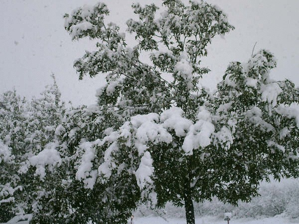
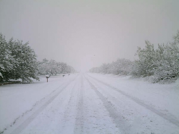
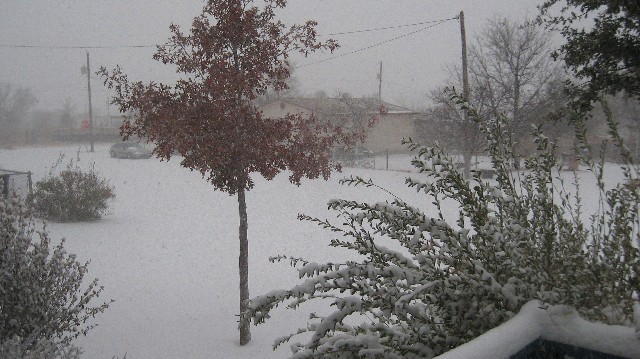
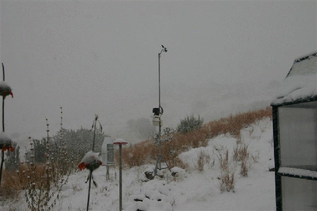
A strong upper level storm system moved out of northern Mexico late Saturday night into west Texas on Sunday. This storm system brought widespread snowfall to west Texas and southeastern New Mexico, with several locations reporting 6 inches or more of accumulation.

A more complete list of snowfall totals follows...
...Texas...
Alpine 6.0
Alpine 8S 8.4
Andrews 1.5
Bakersfield 5.8
Big Lake 4.5
Big Spring 6.0 to 8.0
Chisos Basin 3.5 estimated
Colorado City 2.0
Dog Canyon 1.5 estimated
Fort Davis 5.0
Fort Stockton 6.0 to 8.0
Gail 2.0 estimated
K-Bar ranch 3.0 estimated
Lamesa 6.0 to 7.0
Mccamey 2.8
Marathon 7.0
Marfa 6.0
Midland Intl. Arpt. 3.0
Midland 4SW 3.8
Monahans 3.0 to 4.0
Odessa 3.5
Panther Junction 1.5
Pine Springs 4.0
Seminole 2.0
Snyder 3.0 to 5.0
Wink 5.0 to 7.0
...New Mexico...
Artesia 6.0
Atoka 6.0
Carlsbad 4.0
Hobbs 2.0
Lakewood 6.0 to 8.0
Loco Hills 7.0
Loving 6.0
Lovington 2.0
Seven Rivers 4.0
Tatum 3.0
Queen 4.0
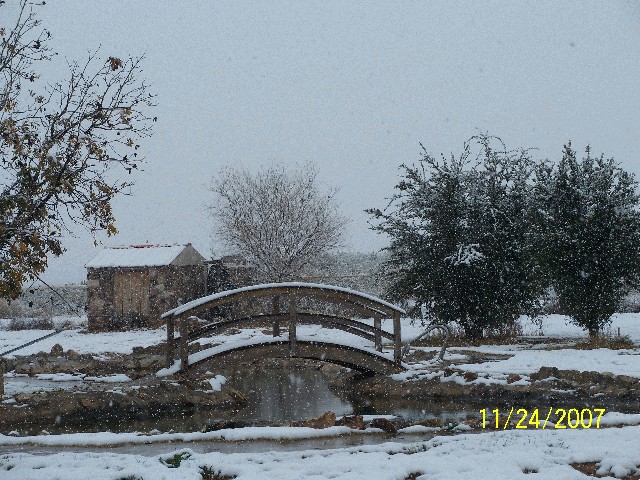
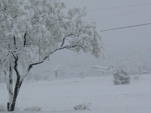
Below are just a few snow pictures from around the forecast area.
From Kyle in Lamesa, Texas:
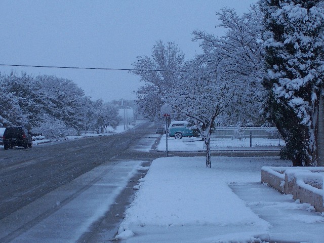
From Moises in Big Spring, Texas:
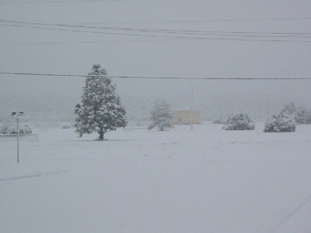
From Klarissa in Big Spring, Texas:
From Cindy in Marfa Texas:
And from Richard Northwest of Alpine, Texas:
The National Weather Serivce would like to thank the above individuals, our local cooperative observers, trained weather spotters, law enforcement, media and the general public for your reports and pictures.



 Follow us on X
 Follow us on Facebook
 MAF RSS Feed