
Flash flooding threatens areas from the Tennessee Valley to the Carolinas as storms repeat along a stalled front. Monsoonal storms may trigger flooding in the Southwest. Dangerous heat expands across the Desert Southwest, Plains, mid-Mississippi Valley and Southern Tier. Critical fire weather for interior Pacific Northwest. Cooler, drier air brings brief relief to the Great Lakes and Northeast. Read More >
Midland/Odessa
Weather Forecast Office
April 30, 2008 Permian Basin Wildfires
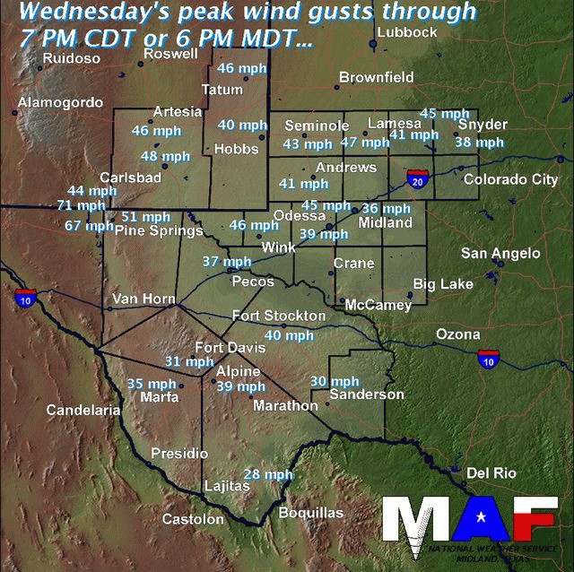
A strengthening upper level storm system across the Rockies combined with surface low pressure over southeastern Colorado brought increasing westerly winds to all of west Texas and southeastern New Mexico Wednesday afternoon and evening. The graphic below shows peak wind gusts for selected locations across the area.
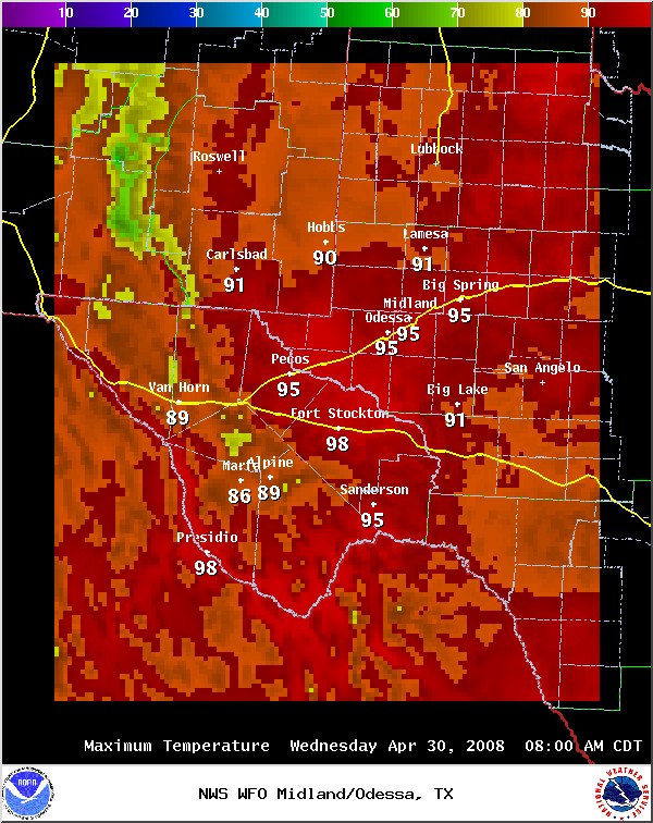
These west winds also aided in bringing well above normal temperatures to the region. The temperature rose to 96 degrees at the Midland International Airport...which tied the record high for this date. The temperature rose to the century mark at Wink...with locations along the Rio Grande River likely experiencing similar readings.
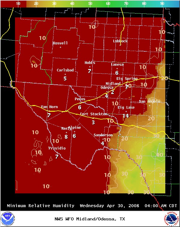
The combination of well above normal temperatures and very dry air allowed afternoon relative humidities to drop below 10% across much of the region.
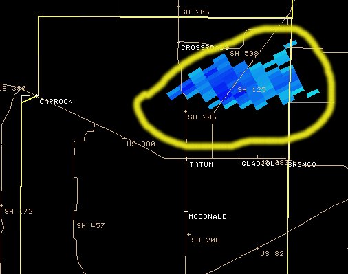
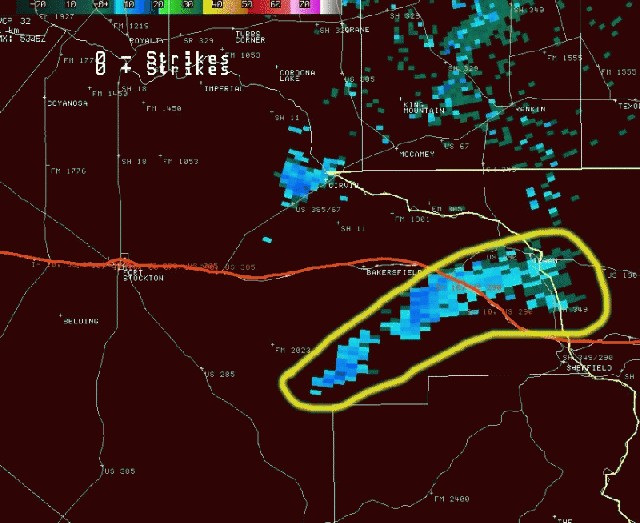
With well above normal temperatures...very low relative humidities and extreme fire danger in place...conditions were ripe for the development of wildfires. National Weather Service Doppler Radar was able to detect at least two smoke plumes across the region. The image below was taken at 4:17 PM MDT or 5:17 PM CDT and shows a smoke plume over northern Lea County New Mexico from a wildfire that originated roughly 8 miles northwest of Tatum.
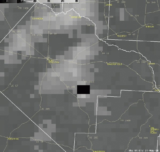
Radar also detected another wildfire over southern Pecos county. The image below was taken at 6:35 PM CDT and shows the smoke plume stretching into extreme eastern Pecos county.
By late Wednesday evening...the wildfire in Pecos county continued to grow. The satellite image below was taken at 8 PM CDT and shows the satellite detected "hot spots" associated with the fire.
Hazards
Spotter Briefing
Outlook
Current Hazards
Storm Report
Severe Weather
Drought
Storm Prediction Center
Weather Prediction Center
National Hurricane Center
Active Alerts
Winter Weather
Past Weather
Cooperative Observations
Local Climate Data
National Climate
Current Weather
Observations
Satellite
Upper Air
West Texas Mesonet
Radar
Forecasts
Activity Planner
Aviation
Climate Prediction Center
Fire
Forecast Discussion
Graphical
Local
Space Weather Center
Information Center
Weather Trivia
Forecast Models
GIS
International Weather
Glossary
Road Conditions
Water
Hydrology
Precipitation Estimates
Quantitative Precipitation Forecasts
US Dept of Commerce
National Oceanic and Atmospheric Administration
National Weather Service
Midland/Odessa
2500 Challenger Dr.
Midland, TX 79706-2606
(432) 563-5006
Comments? Questions? Please Contact Us.

