A Slight Risk for excessive rainfall exists north of the Tennessee and Mississippi state line today. Spurts of heavy rainfall will move over these areas through this evening. A localized flash flooding threat exists.
Daily scattered thunderstorms will continue through the weekend. While most areas will remain dry, slow-moving storms could drop over an inch of rain quickly, leading to a low chance of localized flash flooding. Drier, more comfortable weather arrives early next week.
Note: "N/A" or "MISG" will be displayed if values are not available. In the LOCATION column, click on links for a list of recent observations at sites of interest. In the WIND column, VRB is "variable" and G is "gust". Wind speeds are in MPH. In the BARO (pressure) column, values are in inches. In the REMARKS column, HX is "heat index", WCI is "wind chill index", and VSB is "visibility" (if shown).












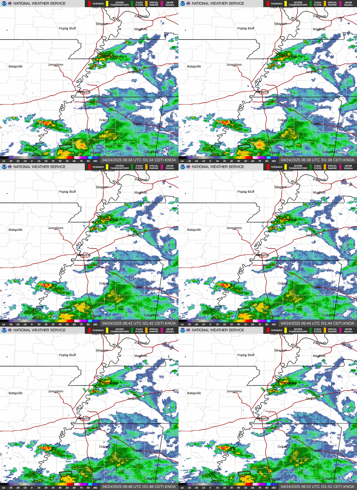 Local Radar
 Weather Map
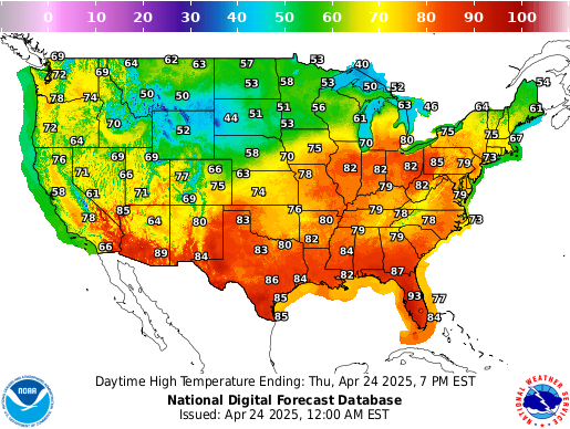 Graphical Forecast
 Follow us on X
 Follow us on Facebook
 Follow us on YouTube
 MEG RSS Feed