National Weather Service United States Department of Commerce

Areas of Severe Thunderstorms and Excessive Rainfall through This Weekend

A multi-day thunderstorm and heavy rain event will impact the south-central U.S. this Memorial Day weekend. Severe thunderstorms may produce large hail, severe gusts, and a possible tornado or two across portions of the central and southern Plains through Monday. The threat for heavy to excessive rainfall and possible flash flooding will return to the south-central U.S., especially in the Ozarks. Read More >

Click a location below for detailed forecast.

Last Map Update: Fri, May 23, 2025 at 11:34:32 pm CDT
 

NWS Memphis will undergo mandatory upgrades from May 27 through May 29. Please see the graphic for more information.
Showers and thunderstorms returning. Lows in the middle 50s to middle 60s.
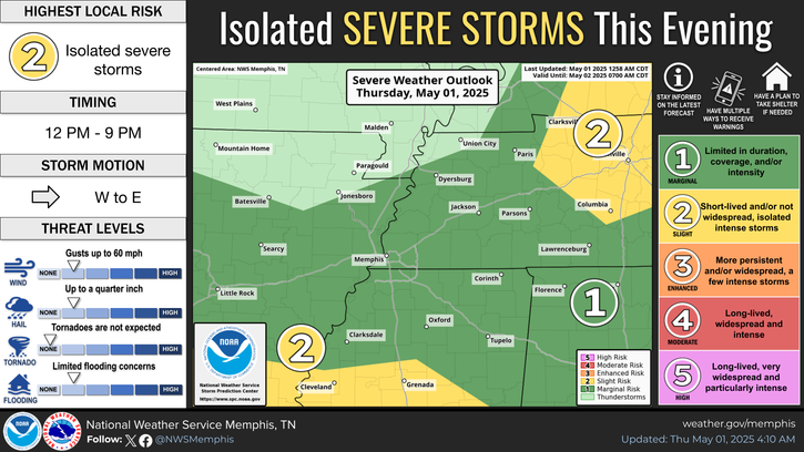
Showers and thunderstorms with a Slight Risk (Level 2 out of 5) for severe weather. Highs from mainly in the 70s.

graphical hazard
Graphical Hazards
probabilistic
Probabilistic
current weather
Current Weather
be prepard
Being Prepared
estar preparado
Estar Preparado
safety
Weather Safety

Text Product Selector (Selected product opens in current window)

 Current Weather Observations...
Location Time
(CDT)
Weather Vsby.
(SM)
Temp.
(ºF)
Dewpt.
(ºF)
Hum.
(%)
Wind
(mph)
Wind Chill / Heat Index
(ºF)
Pres.
(in)
Memphis TN22:54Clear10715658E 8-30.08
Jackson TN22:53Clear10635472ESE 3-30.09
Jonesboro AR22:53Mostly Clear10685358ESE 5-30.07
Tupelo MS22:53Mostly Cloudy10675975N 6-30.09
West Memphis, AR22:53Clear10675770NE 6-30.07
Blytheville, AR22:53Mostly Clear10675463E 7-30.07
Dyersburg, TN22:56Mostly Cloudy10655467E 3-30.11
Olive Branch, MS23:1510685564ENE 5-30.07
Oxford, MS23:15Mostly Clear10665568ENE 5-30.08