National Weather Service United States Department of Commerce

Areas of Excessive Rainfall, Severe Thunderstorms, and Wildfire Smoke Today

Scattered to numerous severe thunderstorms are expected to expand further east each day from the southern High Plains to the Tennessee and Lower Ohio Valleys today through Saturday. Heavy to excessive rainfall may bring flooding to parts of the Four Corners/Desert Southwest, coastal Carolinas, and Midwest regions today. Wildfire smoke will continue unhealthy air quality in the Midwest today. Read More >

Click a location below for detailed forecast.

Last Map Update: Wed, Jun 4, 2025 at 12:28:30 pm CDT
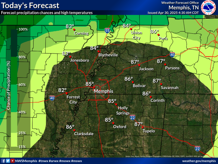
 

Marginal risk for severe thunderstorms Thursday afternoon and evening mostly along and north of I-40. Damaging winds and large hail are the main threats.
Slight risk for severe thunderstorms Friday afternoon and evening across the entire Mid-South. Damaging winds and large hail are the primary threats, and a secondary threat of heavy rainfall.
A risk for strong to severe thunderstorms Saturday afternoon and evening along and south of I-40. Damaging winds and heavy rainfall are the primary threats.

graphical hazard
Graphical Hazards
probabilistic
Probabilistic
current weather
Current Weather
be prepard
Being Prepared
estar preparado
Estar Preparado
safety
Weather Safety

Text Product Selector (Selected product opens in current window)