There are no watches, warnings, or advisories at this time.
Pattern Change Sunday
Sunday Precipitation Totals
Cooler Temperatures Next Week
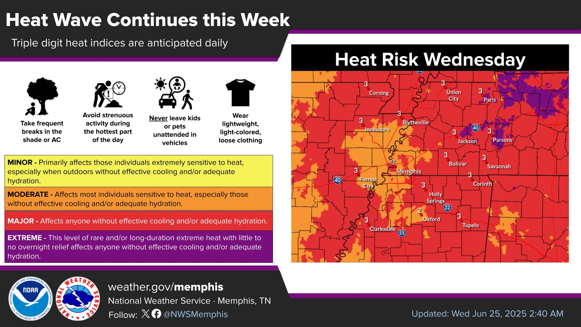
Unseasonably warm weather continues across the Mid-South through Sunday with afternoon highs in the lower to middle 70s, running 10 to 15 degrees above average before a cold front arrives with increasing rain chances and a cooldown. ☀️
Precipitation chances will increase Sunday afternoon as a cold front swings by. No severe weather is expected with this, with only a low probability of thunder. Rainfall will taper off by Monday morning, followed by a cooler start to next week.
Following Sunday's cold front, a cool and dry air mass will build into the region early next week, bringing refreshing below-normal temperatures to the Mid-South. 🍁
Note: "N/A" or "MISG" will be displayed if values are not available. In the LOCATION column, click on links for a list of recent observations at sites of interest. In the WIND column, VRB is "variable" and G is "gust". Wind speeds are in MPH. In the BARO (pressure) column, values are in inches. In the REMARKS column, HX is "heat index", WCI is "wind chill index", and VSB is "visibility" (if shown).











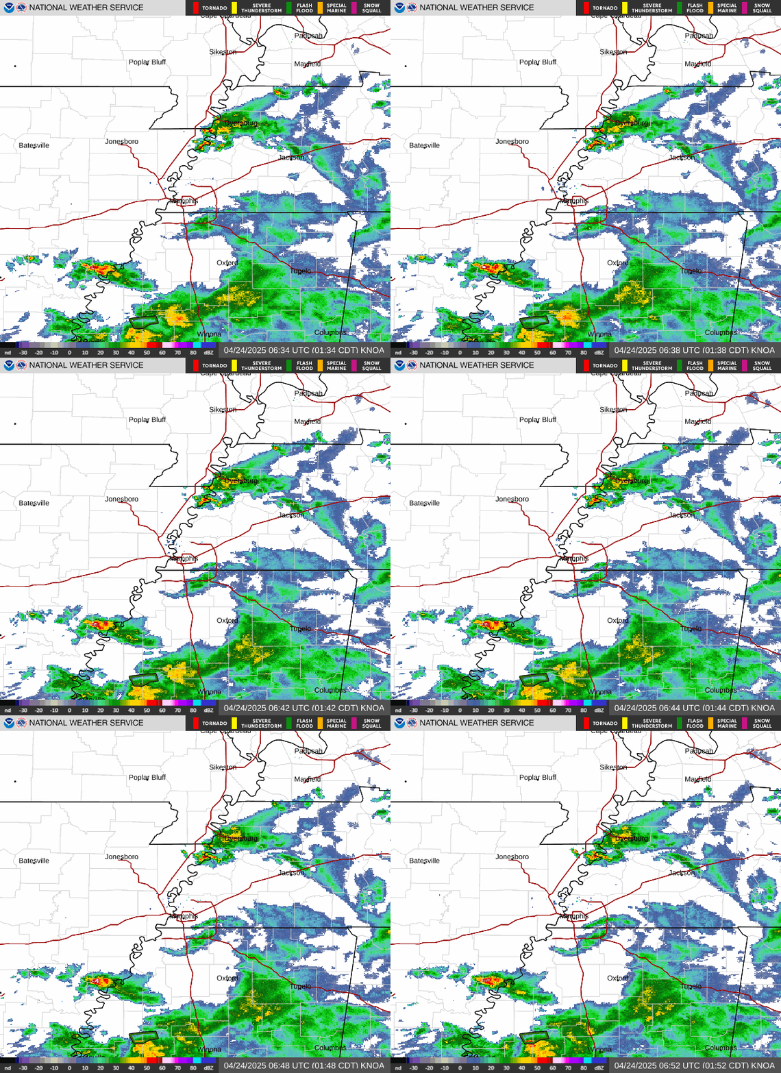 Local Radar
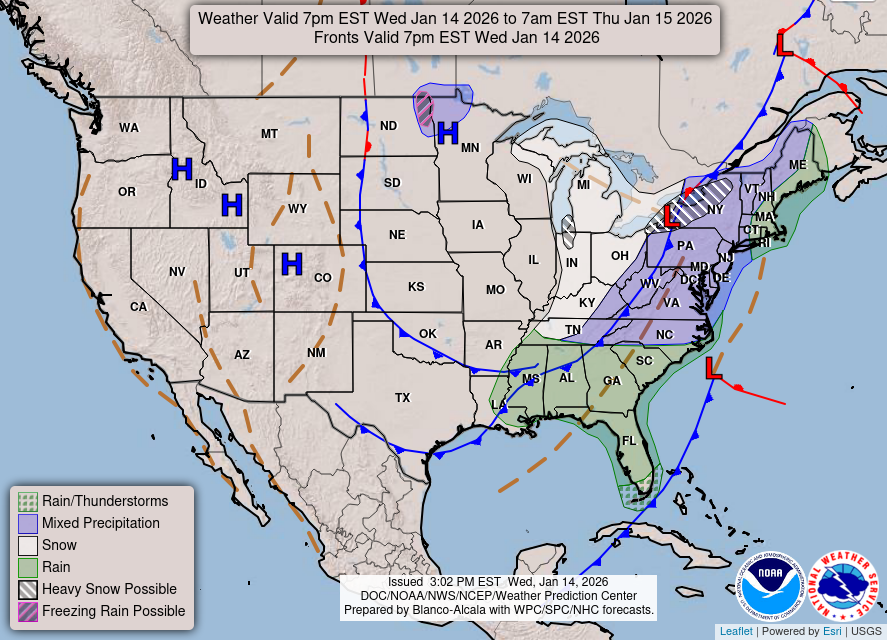 Weather Map
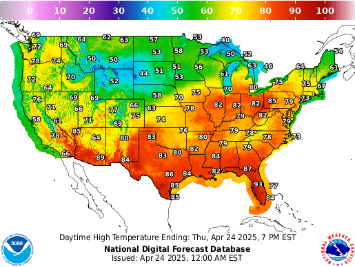 Graphical Forecast
 Follow us on X
 Follow us on Facebook
 Follow us on YouTube
 MEG RSS Feed