Heat index values of up to 109 degrees are expected along and west of the Mississippi River today. A Heat Advisory is in effect from 11 AM CDT through 7 PM CDT.
Hot and mainly dry conditions will return this week. Near-record daily highs will approach 100 degrees with heat index values generally between 100 to 109 degrees through mid week
Note: "N/A" or "MISG" will be displayed if values are not available. In the LOCATION column, click on links for a list of recent observations at sites of interest. In the WIND column, VRB is "variable" and G is "gust". Wind speeds are in MPH. In the BARO (pressure) column, values are in inches. In the REMARKS column, HX is "heat index", WCI is "wind chill index", and VSB is "visibility" (if shown).













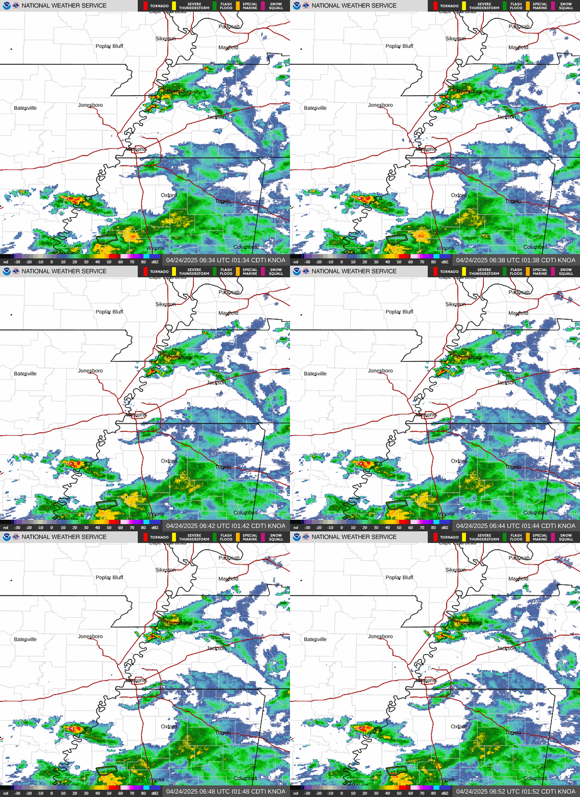 Local Radar
 Weather Map
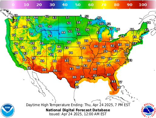 Graphical Forecast
 Follow us on X
 Follow us on Facebook
 Follow us on YouTube
 MEG RSS Feed