
Scattered severe thunderstorms capable of large to very large hail, damaging winds with potentially significant gusts, and perhaps a couple of tornadoes are expected Friday afternoon into night across portions of the central Plains into upper Great Lakes. Thunderstorms with heavy to excessive rainfall may produce flooding over a part of the Midwest Friday. Read More >
The National Weather Service office in Medford, OR located near the Jackson County International Airport is having critical maintenance done during the last week of April and the 1st week of May 2021.
We have 3 periods of time during this construction project.
The first scheduled power outage is Tuesday, April 27th from 7:00 AM PDT until 2:00 PM PDT, an approximate 7 hour outage.
The second scheduled power outage is Friday, April 30th from 7:00 AM PDT until 2:00 PM PDT, an approximate 7 hour outage.
The third scheduled power outage is Wednesday, May 5th from 7:00 AM PDT until 10 AM PDT, an approximate 3 hour outage.
During these periods our forecast operations will be taken over by our Eureka, CA and Portland, OR forecast offices. All forecast operations will continue during these periods. NOAA Weather Radio transmitters at North Bend, Roseburg, Port Orford, Klamath Falls, Medford, and Yreka won't be transmitting during those times. The Mt. Ashland WSR-88D Doppler radar will be down during these outages. During the downtime, adjacent radars will be available, including: KBHX- Eureka CA, KRTX – Portland OR, KPDT - Pendleton OR, KRGX - Reno NV, and KBBX Beale AFB CA. For direct access to any of these surrounding radar sites, visit the following web page https://radar.weather.


 Precipitation Tracker
 Graphical Hazards Outlook
 RADAR and Satellite
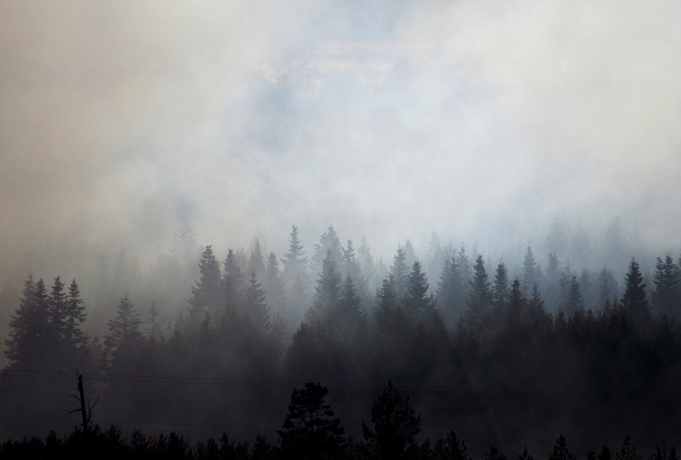 Wildfire Safety
 Forecast Discussion
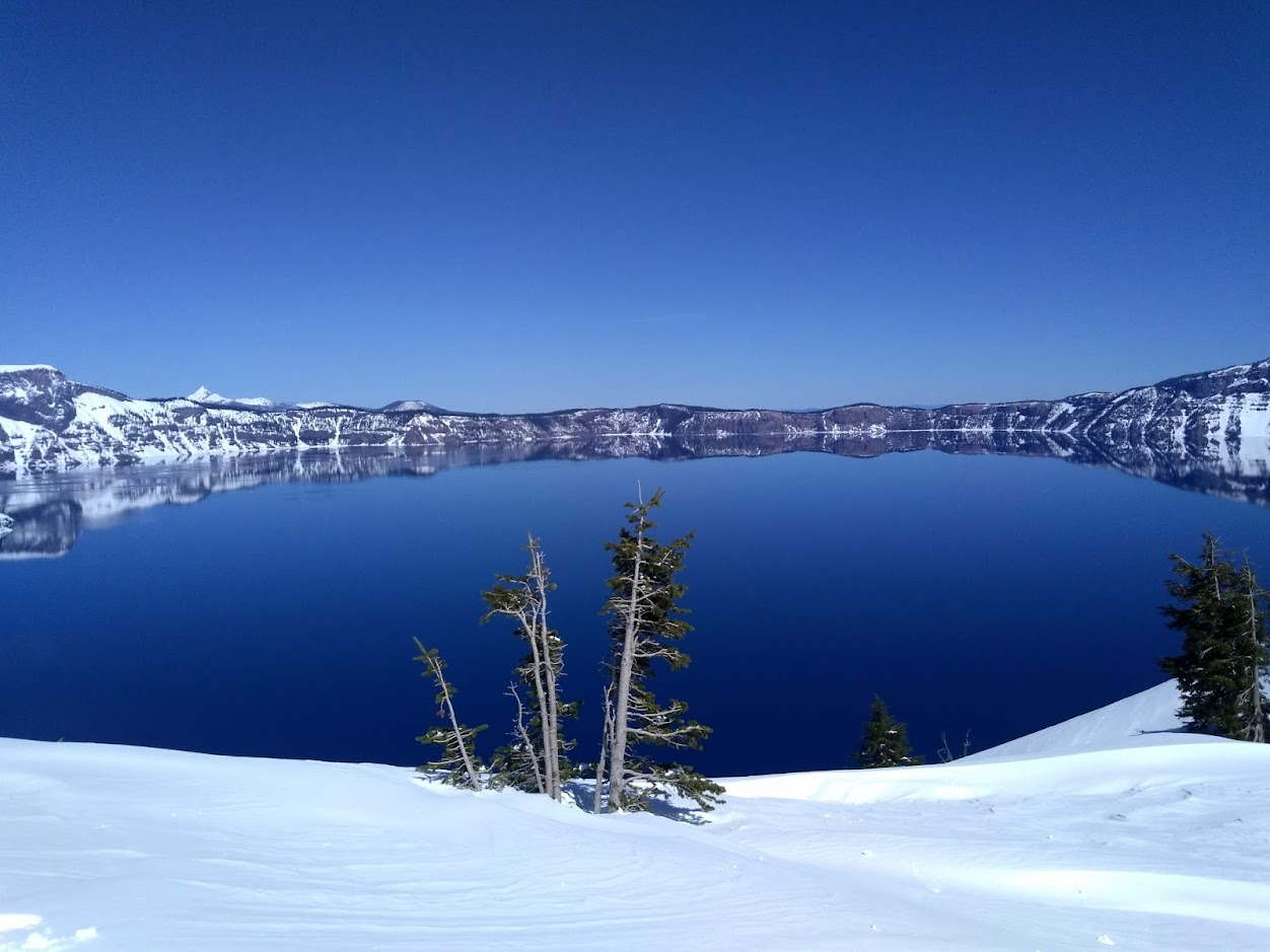 Snowfall and Depth With Crater Lake Details
 Avalanche Guidance
 NESDIS Geocolor
 Weather Map
 Marine
 GOES 18 Water Vapor Imagery
 Local Climate Data
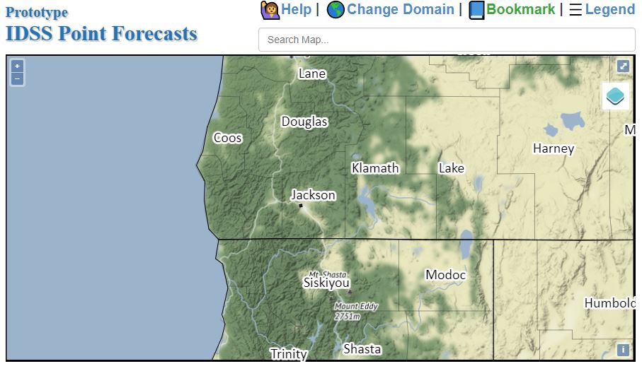 Alternate Point Forecast
 Smoke Forecast
 Weather Stats
 Year Charts
 Fire Weather