Milwaukee/Sullivan, WI
Weather Forecast Office
Here is our latest Weather Story:

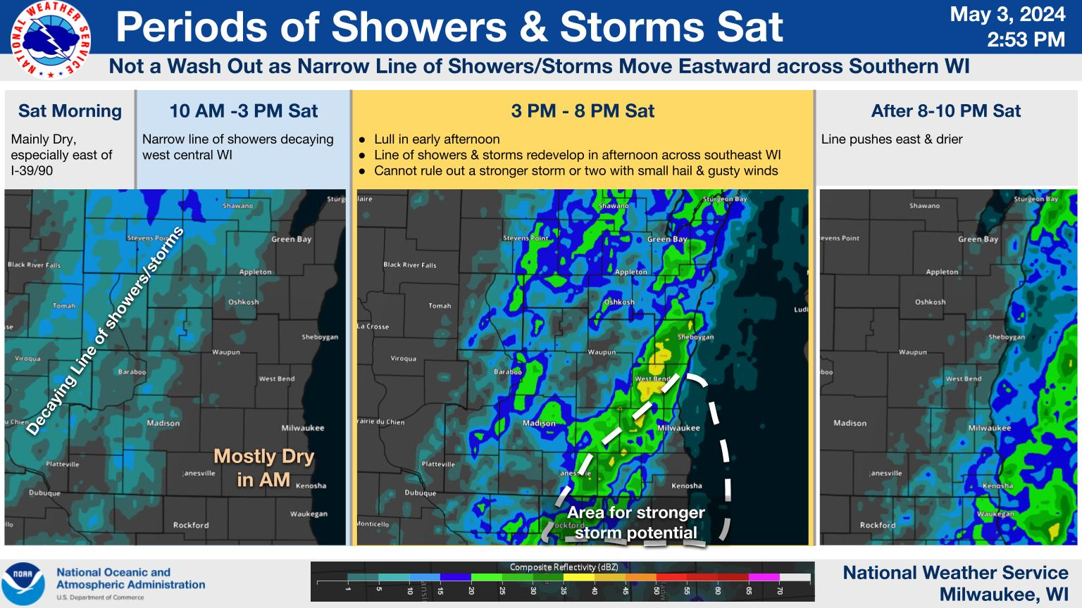
A period of mainly quiet weather is expected into early this afternoon. There are some chances for thunderstorms during the middle to late afternoon hours. However, most of the area should continue to remain dry.
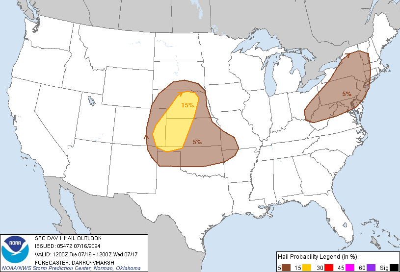
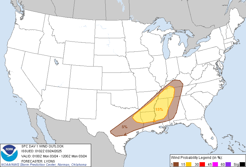
Thunderstorms are most likely to occur across southern Wisconsin during the evening, and into the overnight hours. It appears that the main severe weather risk has shifted south of Wisconsin, with just part of Kenosha County remaining in the Slight Risk for severe storms. Large hail and damaging winds are possible in the Slight Risk area.
There is a Marginal Risk for severe storms mainly along and south of a Darlington to Port Washington line. This means that isolated severe storms producing large hail and damaging winds are possible, but most of the storms would remain below severe levels.
Here is a description of the risk categories from the Storm Prediction Center:

Here is the Day 1 Outlook (today through tonight) from the Storm Prediction Center:
| Outlook | Tornado |
 |
 |
| Hail | Wind |
 |
 |
Here are the latest local and regional radar animations:
| Local Radar | Regional Radar - West View | Regional Radar - East View |
 |
 |
 |
| How To Report Severe Weather |
 |
See our Facebook, Twitter and YouTube pages for more information, and use Facebook and Twitter to report any severe weather.
Keep up with the latest forecasts for this afternoon into tonight.
Wood
NWS Milwaukee/Sullivan, WI
Hazards
National Briefing
Hazardous Weather Outlook
Skywarn
View Local Storm Reports
Submit A Storm Report
Winter Weather
Summer Weather
Beach Hazards
Local Forecasts
Marine
Aviation
Fire
Local Text Products
Local Precip Forecast
Hourly Forecast Graphics
Forecast Discussion
Climate
CoCoRaHS
Historic Events For Srn WI
Daily Climate Graphics
Local Climate Products
Normals/Records MKE/MSN
US Dept of Commerce
National Oceanic and Atmospheric Administration
National Weather Service
Milwaukee/Sullivan, WI
N3533 Hardscrabble Road
Dousman, WI 53118
262-965-2074
Comments? Questions? Please Contact Us.

