There are no watches, warnings, or advisories at this time.
Today's Outlook
Strong Storm Risk Today
Forecast
Climate
Scattered showers and storms are forecast this afternoon, primarily south of a line from Kissimmee to Titusville. High temperatures climb above seasonal values, ranging the mid 80s to mid 90s.
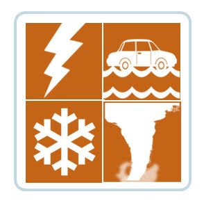
A Marginal Risk (Level 1 out of 5) for severe storms exists during the afternoon and evening hours, mainly southeast of the I-4 corridor. Main storm threats include strong to locally damaging wind gusts to 40-60 mph, hail up to 1” in diameter, cloud-to-ground lightning, and locally heavy rainfall (up to 1-2”). There is also a very low (less than 2%) chance for an isolated brief tornado.


 Interactive Radar
 Regional Satellite
 Severe Weather